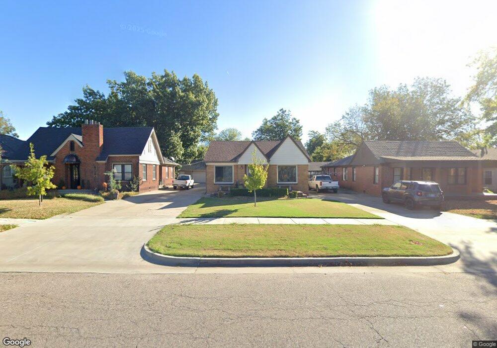
1925 N Bdwy Shawnee, OK 74804
Estimated Value: $195,143 - $264,000
3
Beds
2
Baths
2,126
Sq Ft
$108/Sq Ft
Est. Value
About This Home
This home is located at 1925 N Bdwy, Shawnee, OK 74804 and is currently estimated at $230,536, approximately $108 per square foot. 1925 N Bdwy is a home with nearby schools including Will Rogers Elementary School, Shawnee Middle School, and Shawnee High School.
Ownership History
Date
Name
Owned For
Owner Type
Purchase Details
Closed on
Jun 1, 1999
Sold by
Autrey Robert and Autrey Marquetta
Bought by
Youmans Tim and Youmans Karen
Current Estimated Value
Purchase Details
Closed on
Sep 22, 1993
Sold by
Breedlove David and Breedlove Ma
Bought by
Autry Robert and Autry Marquetta
Create a Home Valuation Report for This Property
The Home Valuation Report is an in-depth analysis detailing your home's value as well as a comparison with similar homes in the area
Home Values in the Area
Average Home Value in this Area
Purchase History
| Date | Buyer | Sale Price | Title Company |
|---|---|---|---|
| Youmans Tim | $76,000 | -- | |
| Autry Robert | $52,000 | -- |
Source: Public Records
Tax History Compared to Growth
Tax History
| Year | Tax Paid | Tax Assessment Tax Assessment Total Assessment is a certain percentage of the fair market value that is determined by local assessors to be the total taxable value of land and additions on the property. | Land | Improvement |
|---|---|---|---|---|
| 2025 | $1,632 | $16,629 | $1,380 | $15,249 |
| 2024 | $1,632 | $15,837 | $1,314 | $14,523 |
| 2023 | $1,576 | $15,083 | $1,257 | $13,826 |
| 2022 | $1,474 | $14,365 | $1,166 | $13,199 |
| 2021 | $1,378 | $13,681 | $1,080 | $12,601 |
| 2020 | $1,439 | $14,240 | $1,080 | $13,160 |
| 2019 | $1,516 | $14,519 | $1,080 | $13,439 |
| 2018 | $1,505 | $14,712 | $1,080 | $13,632 |
| 2017 | $1,482 | $14,691 | $960 | $13,731 |
| 2016 | $1,546 | $15,147 | $960 | $14,187 |
| 2015 | $1,560 | $15,600 | $960 | $14,640 |
| 2014 | $839 | $9,385 | $552 | $8,833 |
Source: Public Records
Map
Nearby Homes
- 1921 N Bell Ave
- 1928 N Broadway Ave
- 2021 N Broadway Ave
- 1901 N Bell Ave
- 1817 N Bell Ave
- 1816 N Bell Ave
- 1834 N Market Ave
- 1925 N Park Ave
- 1822 N Philadelphia Ave
- 210 E Cammack
- 10 W Midland St
- 1607 N Beard Ave
- 2401 N Bell Ave
- 1510 N Union Ave
- 216 W Georgia St
- 2106 N Aydelotte Ave
- 1712 N Pennsylvania Ave
- 2304 N Tucker Ave
- 2415 N Minnesota Cir
- 806 E Midland St
- 1927 N Bdwy
- 1923 N Bdwy Ave
- 1921 N Bdwy Ave
- 1931 N Broadway Ave
- 1917 N Bdwy
- 1937 N Broadway Ave
- 1937 N Bdwy
- 1923 N Bell Ave
- 1923 N Broadway Ave
- 2001 N Broadway Ave
- 1934 N Bdwy
- 1927 N Broadway Ave
- 1928 N Bdwy Ave
- 1936 N Bell Ave
- 1925 N Broadway Ave
- 1915 N Broadway Ave
- 1920 N Bdwy Ave
- 1905 N Bdwy Ave
- 1924 N Bell Ave
- 1944 N Bell Ave