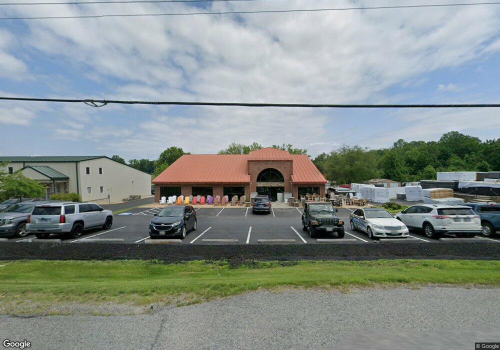
1925 Norfolk Dr Owings, MD 20736
Estimated Value: $2,074,362
--
Bed
--
Bath
8,760
Sq Ft
$237/Sq Ft
Est. Value
About This Home
This home is located at 1925 Norfolk Dr, Owings, MD 20736 and is currently estimated at $2,074,362, approximately $236 per square foot. 1925 Norfolk Dr is a home located in Calvert County with nearby schools including Sunderland Elementary School, Northern Middle School, and Northern High School.
Ownership History
Date
Name
Owned For
Owner Type
Purchase Details
Closed on
Apr 3, 2015
Sold by
S & S Development Associates
Bought by
1925 Norfolk Drive Llc
Current Estimated Value
Home Financials for this Owner
Home Financials are based on the most recent Mortgage that was taken out on this home.
Original Mortgage
$258,000
Interest Rate
3.72%
Mortgage Type
Future Advance Clause Open End Mortgage
Purchase Details
Closed on
Oct 29, 1986
Sold by
Norfolk Calvert W and Norfolk Virginia C
Bought by
S & S Development Associates and C
Home Financials for this Owner
Home Financials are based on the most recent Mortgage that was taken out on this home.
Original Mortgage
$55,000
Interest Rate
9.95%
Create a Home Valuation Report for This Property
The Home Valuation Report is an in-depth analysis detailing your home's value as well as a comparison with similar homes in the area
Home Values in the Area
Average Home Value in this Area
Purchase History
| Date | Buyer | Sale Price | Title Company |
|---|---|---|---|
| 1925 Norfolk Drive Llc | $1,290,000 | None Available | |
| S & S Development Associates | $60,000 | -- |
Source: Public Records
Mortgage History
| Date | Status | Borrower | Loan Amount |
|---|---|---|---|
| Closed | 1925 Norfolk Drive Llc | $258,000 | |
| Open | 1925 Norfolk Drive Llc | $903,000 | |
| Previous Owner | S & S Development Associates | $55,000 |
Source: Public Records
Tax History Compared to Growth
Tax History
| Year | Tax Paid | Tax Assessment Tax Assessment Total Assessment is a certain percentage of the fair market value that is determined by local assessors to be the total taxable value of land and additions on the property. | Land | Improvement |
|---|---|---|---|---|
| 2025 | $15,164 | $1,415,900 | $360,000 | $1,055,900 |
| 2024 | $15,164 | $1,385,267 | $0 | $0 |
| 2023 | $14,289 | $1,354,633 | $0 | $0 |
| 2022 | $13,967 | $1,324,000 | $360,000 | $964,000 |
| 2021 | $13,525 | $1,299,933 | $0 | $0 |
| 2020 | $13,525 | $1,275,867 | $0 | $0 |
| 2019 | $13,333 | $1,251,800 | $360,000 | $891,800 |
| 2018 | $13,002 | $1,221,467 | $0 | $0 |
| 2017 | $12,860 | $1,191,133 | $0 | $0 |
| 2016 | -- | $1,160,800 | $0 | $0 |
| 2015 | $11,557 | $1,152,833 | $0 | $0 |
| 2014 | $11,557 | $1,144,867 | $0 | $0 |
Source: Public Records
Map
Nearby Homes
- 1021 Concord Ct
- 7818 Lake Shore Dr
- 7425 Danbridge Ln
- 7120 Bluegrass Way
- 8839 Stratford Ct
- 290 Skinners Turn Rd
- 159 Boothhaven Ln
- 270 Skinners Turn Rd
- 114 Delores Dr
- 331 C Jones Rd
- 1965 Lowery Rd
- 6440 Briarwood Dr
- 3446 Chaneyville Rd
- 2550 Redbud Ln
- 9655 Tara Dr
- 9665 Tara Dr
- 2520 Lower Marlboro Rd
- 1030 Stephen Reid Dr
- 9201 Owings Manor Ct
- 9188 Bear Claw Ct
- 7624 Meadow Run Ln
- 7610 Meadow Run Ln
- 1920 Norfolk Dr
- 1900 Norfolk Dr
- 7605 Meadow Run Ln
- 7615 Meadow Run Ln
- 1910 Norfolk Dr
- 1925 Skinners Turn Rd
- 7645 Meadow Run Ln
- 7620 Meadow Run Ln
- 1724 Market St
- 1931 Dale Ln
- 1723 Market St
- 7655 Meadow Run Ln
- 1728 Candlestick Way
- 1923 Skinners Turn Rd
- 1732 Candlestick Way
- 1955 Dale Ln
- 1717 Market St
- 1915 Skinners Turn Rd