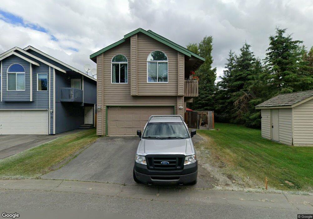
1925 Sturbridge Ct Unit 60 Anchorage, AK 99507
Abbott Loop NeighborhoodEstimated Value: $289,000 - $424,000
4
Beds
2
Baths
2,000
Sq Ft
$184/Sq Ft
Est. Value
About This Home
This home is located at 1925 Sturbridge Ct Unit 60, Anchorage, AK 99507 and is currently estimated at $367,693, approximately $183 per square foot. 1925 Sturbridge Ct Unit 60 is a home located in Anchorage Municipality with nearby schools including Spring Hill Elementary School, Hanshew Middle School, and Service High School.
Ownership History
Date
Name
Owned For
Owner Type
Purchase Details
Closed on
Nov 3, 2022
Sold by
Ziegler Lori
Bought by
Ziegler Shane
Current Estimated Value
Home Financials for this Owner
Home Financials are based on the most recent Mortgage that was taken out on this home.
Original Mortgage
$313,500
Outstanding Balance
$303,145
Interest Rate
6.95%
Mortgage Type
New Conventional
Estimated Equity
$64,548
Purchase Details
Closed on
Sep 6, 2001
Sold by
Discovery Construction Inc
Bought by
Kennedy Lori R
Home Financials for this Owner
Home Financials are based on the most recent Mortgage that was taken out on this home.
Original Mortgage
$177,000
Interest Rate
7.05%
Create a Home Valuation Report for This Property
The Home Valuation Report is an in-depth analysis detailing your home's value as well as a comparison with similar homes in the area
Home Values in the Area
Average Home Value in this Area
Purchase History
| Date | Buyer | Sale Price | Title Company |
|---|---|---|---|
| Ziegler Shane | -- | First American Title | |
| Kennedy Lori R | -- | First American Title |
Source: Public Records
Mortgage History
| Date | Status | Borrower | Loan Amount |
|---|---|---|---|
| Open | Ziegler Shane | $313,500 | |
| Previous Owner | Kennedy Lori R | $177,000 |
Source: Public Records
Tax History Compared to Growth
Tax History
| Year | Tax Paid | Tax Assessment Tax Assessment Total Assessment is a certain percentage of the fair market value that is determined by local assessors to be the total taxable value of land and additions on the property. | Land | Improvement |
|---|---|---|---|---|
| 2025 | $3,784 | $353,500 | -- | $353,500 |
| 2024 | $3,784 | $309,400 | $0 | $309,400 |
| 2023 | $4,760 | $279,500 | $0 | $279,500 |
| 2022 | $4,106 | $293,800 | $0 | $293,800 |
| 2021 | $5,094 | $282,700 | $0 | $282,700 |
| 2020 | $3,725 | $269,400 | $0 | $269,400 |
| 2019 | $3,679 | $274,900 | $0 | $274,900 |
| 2018 | $3,583 | $268,500 | $0 | $268,500 |
| 2017 | $3,946 | $272,000 | $0 | $272,000 |
| 2016 | $3,399 | $266,000 | $0 | $266,000 |
| 2015 | $3,399 | $260,300 | $0 | $260,300 |
| 2014 | $3,399 | $243,300 | $0 | $243,300 |
Source: Public Records
Map
Nearby Homes
- 1914 Sturbridge Ct Unit 3
- 1917 Colony Place Unit 33
- 2060 Sturbridge Cir
- 10260 Jamestown Dr Unit A8
- 9730 Vanguard Dr Unit 12
- 9700 Vanguard Dr Unit 70
- 9710 Vanguard Dr Unit 80
- 1900-1941 Marthas Vineyard Cir
- 10261 Arborvitae Dr
- 8000 Independence Park Dr
- 1611 Betula Cir
- 9599 Brayton Dr Unit 422
- 10285 Arborvitae Dr
- 10359 Valley Park Dr
- 10009 Thimble Berry Dr
- 267 Loop Unit 267
- 1510 Elcadore Dr Unit 134
- 1540 Elcadore Dr Unit 125
- 10412 Thimble Berry Dr
- 9499 Brayton Dr Unit 39
- 1922 Sturbridge Ct Unit 1
- 1918 Sturbridge Ct Unit 2
- TR A2A Independence Dr
- TR K2 Independence Dr
- TR S Independence Dr
- 8000 Independence Dr
- 1913 Sturbridge Ct Unit 57
- 1913 Sturbridge Ct Unit 28
- 1913 Sturbridge Ct Unit 57
- 1909 Sturbridge Ct Unit 56
- 1906 Sturbridge Ct Unit 5
- 1906 Sturbridge Ct
- 1936 Colony Place Unit 42
- 2001 Sturbridge Cir
- 1940 Colony Place Unit 41
- 1905 Sturbridge Ct Unit 55
- 10230 Jamestown Dr Unit 5H
- 10230 Jamestown Dr Unit 5G
- 10230 Jamestown Dr Unit 5F
- 10230 Jamestown Dr Unit 5E