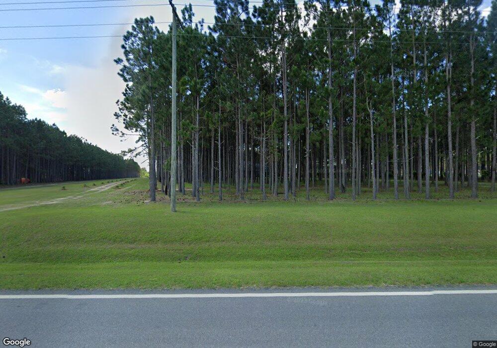
1925 Sumner Rd Moultrie, GA 31768
Estimated Value: $269,000 - $491,000
4
Beds
3
Baths
2,176
Sq Ft
$170/Sq Ft
Est. Value
About This Home
This home is located at 1925 Sumner Rd, Moultrie, GA 31768 and is currently estimated at $370,969, approximately $170 per square foot. 1925 Sumner Rd is a home located in Colquitt County with nearby schools including Okapilco Elementary School, C.A. Gray Junior High School, and Willie J. Williams Middle School.
Ownership History
Date
Name
Owned For
Owner Type
Purchase Details
Closed on
Sep 9, 2021
Sold by
Vanmurphy Matthew Van
Bought by
Boatwright Michael A and Boatwright Lora H
Current Estimated Value
Purchase Details
Closed on
Nov 13, 2013
Sold by
Croft Kenneth
Bought by
Vanvanmurphy Matthew Van
Home Financials for this Owner
Home Financials are based on the most recent Mortgage that was taken out on this home.
Original Mortgage
$176,000
Interest Rate
4.31%
Mortgage Type
New Conventional
Purchase Details
Closed on
Apr 12, 2007
Sold by
Sowega Land Co Inc
Bought by
Croft Kenneth
Home Financials for this Owner
Home Financials are based on the most recent Mortgage that was taken out on this home.
Original Mortgage
$50,000
Interest Rate
6.1%
Mortgage Type
New Conventional
Purchase Details
Closed on
Jul 25, 2005
Sold by
Cobb Terry L
Bought by
Sowega Land Company
Create a Home Valuation Report for This Property
The Home Valuation Report is an in-depth analysis detailing your home's value as well as a comparison with similar homes in the area
Purchase History
| Date | Buyer | Sale Price | Title Company |
|---|---|---|---|
| Boatwright Michael A | $315,000 | -- | |
| Vanvanmurphy Matthew Van | $245,000 | -- | |
| Croft Kenneth | $65,000 | -- | |
| Sowega Land Company | $135,000 | -- |
Source: Public Records
Mortgage History
| Date | Status | Borrower | Loan Amount |
|---|---|---|---|
| Previous Owner | Vanvanmurphy Matthew Van | $176,000 | |
| Previous Owner | Croft Kenneth | $50,000 |
Source: Public Records
Tax History Compared to Growth
Tax History
| Year | Tax Paid | Tax Assessment Tax Assessment Total Assessment is a certain percentage of the fair market value that is determined by local assessors to be the total taxable value of land and additions on the property. | Land | Improvement |
|---|---|---|---|---|
| 2024 | $2,795 | $142,715 | $9,713 | $133,002 |
| 2023 | $2,967 | $102,509 | $9,713 | $92,796 |
| 2022 | $2,185 | $93,783 | $8,633 | $85,150 |
| 2021 | $1,918 | $81,004 | $8,633 | $72,371 |
| 2020 | $1,880 | $78,074 | $8,633 | $69,441 |
| 2019 | $2,014 | $75,254 | $8,633 | $66,621 |
| 2018 | $1,925 | $75,254 | $8,633 | $66,621 |
| 2017 | $2,422 | $90,981 | $24,360 | $66,621 |
| 2016 | $2,454 | $90,981 | $24,360 | $66,621 |
| 2015 | $2,477 | $90,981 | $24,360 | $66,621 |
| 2014 | $2,485 | $90,981 | $24,360 | $66,621 |
| 2013 | -- | $91,076 | $24,360 | $66,716 |
Source: Public Records
Map
Nearby Homes
- 2537 Sumner Rd
- 378 Old S R 33
- 672 Cherokee Dr
- 514 Indian Lake Dr
- 210 Arrowhead Dr
- 131 Seminole Dr
- 178 Cool Breeze Dr
- 209 Cherokee Dr
- 3569 Sumner Rd
- 1595 US Highway 319 N
- 1852 Doerun Norman Park Rd
- 102 Schley Church Rd
- 0 Old Norman Park Rd
- 441 Weaver Rd
- 107 30th Ave NW
- 15,23,27 29th Ave NW
- 2186 Old Doerun Rd
- 485 Davis Rd
- 0 Mark Orton Ln
- 0 S U Highway 319 N
- 1859 Sumner Rd
- 1821 Sumner Rd
- 1975 Sumner Rd
- 142 Burnt Pine Dr
- 110 Burnt Pine Dr
- 1907 Sumner Rd
- 1965 Sumner Rd
- 1917 Sumner Rd
- 180 Burnt Pine Dr
- 1985 Sumner Rd
- 141 Burnt Pine Dr
- 1783 Sumner Rd
- 181 Burnt Pine Dr
- 217 Burnt Pine Dr
- 179 Minix Rd
- 1750 Sumner Rd
- 220 Burnt Pine Dr
- 1717 Sumner Rd
- 000 Minix Rd
- 000 Minix Rd
