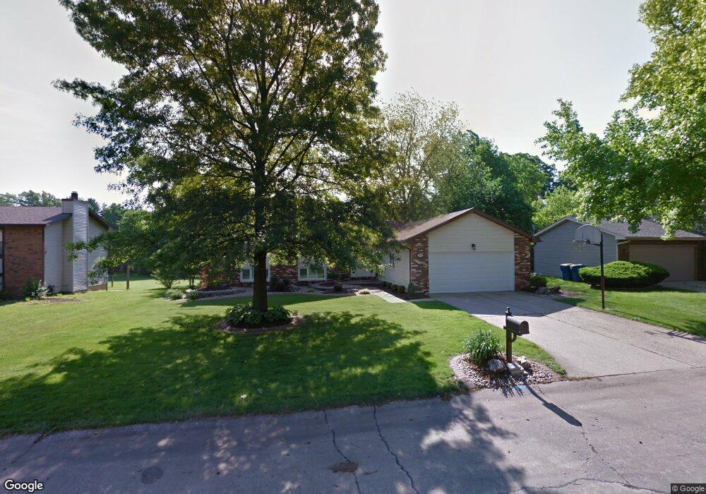
1925 Vassar Dr Edwardsville, IL 62025
Estimated Value: $278,000 - $336,113
1
Bed
2
Baths
725
Sq Ft
$434/Sq Ft
Est. Value
About This Home
This home is located at 1925 Vassar Dr, Edwardsville, IL 62025 and is currently estimated at $314,778, approximately $434 per square foot. 1925 Vassar Dr is a home located in Madison County with nearby schools including LeClaire Elementary School, Columbus Elementary School, and Liberty Middle School.
Ownership History
Date
Name
Owned For
Owner Type
Purchase Details
Closed on
Jul 21, 2006
Sold by
Groth Terence R and Groth Lorraine E
Bought by
Warren Matthew K and Warren Jennifer K
Current Estimated Value
Home Financials for this Owner
Home Financials are based on the most recent Mortgage that was taken out on this home.
Original Mortgage
$18,600
Interest Rate
8.25%
Mortgage Type
Credit Line Revolving
Create a Home Valuation Report for This Property
The Home Valuation Report is an in-depth analysis detailing your home's value as well as a comparison with similar homes in the area
Home Values in the Area
Average Home Value in this Area
Purchase History
| Date | Buyer | Sale Price | Title Company |
|---|---|---|---|
| Warren Matthew K | $186,000 | First American Title Ins Co |
Source: Public Records
Mortgage History
| Date | Status | Borrower | Loan Amount |
|---|---|---|---|
| Closed | Warren Matthew K | $18,600 | |
| Open | Warren Matthew K | $148,800 |
Source: Public Records
Tax History Compared to Growth
Tax History
| Year | Tax Paid | Tax Assessment Tax Assessment Total Assessment is a certain percentage of the fair market value that is determined by local assessors to be the total taxable value of land and additions on the property. | Land | Improvement |
|---|---|---|---|---|
| 2024 | $6,622 | $98,760 | $13,510 | $85,250 |
| 2023 | $6,622 | $91,650 | $12,540 | $79,110 |
| 2022 | $6,204 | $80,430 | $11,640 | $68,790 |
| 2021 | $4,693 | $76,340 | $11,050 | $65,290 |
| 2020 | $4,536 | $73,980 | $10,710 | $63,270 |
| 2019 | $4,501 | $72,740 | $10,530 | $62,210 |
| 2018 | $4,419 | $69,470 | $10,060 | $59,410 |
| 2017 | $4,306 | $61,710 | $9,890 | $51,820 |
| 2016 | $3,890 | $61,710 | $9,890 | $51,820 |
| 2015 | $3,710 | $57,210 | $9,170 | $48,040 |
| 2014 | $3,710 | $57,210 | $9,170 | $48,040 |
| 2013 | $3,710 | $57,210 | $9,170 | $48,040 |
Source: Public Records
Map
Nearby Homes
- 4 Hadley Ct
- 638 Yale Ave
- 500 Monticello Place
- 1120 Franklin Ave
- 116 Surrey Ln
- 629 Bollman Ave
- 424 Circle Dr
- 502 Jaime Lynn Ct
- 613 Jaime Lynn Ct
- 307 Monticello Place Unit A
- 503 Bollman Ave
- 417 Montclaire Ave
- 426 Roanoke Dr
- 424 Hadley Ave
- 112 Chattanooga Ct
- 18 Shiloh Ct
- 7004 Seminary Ridge Ct
- 3478 Manassas Dr
- 7008 Seminary Ridge Ct
- 221 4th Ave