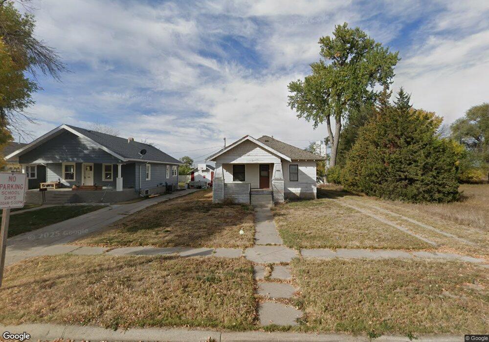
1926 19th Ave Mitchell, NE 69357
Estimated Value: $88,344 - $137,000
2
Beds
1
Bath
1,092
Sq Ft
$101/Sq Ft
Est. Value
About This Home
This home is located at 1926 19th Ave, Mitchell, NE 69357 and is currently estimated at $110,086, approximately $100 per square foot. 1926 19th Ave is a home located in Scotts Bluff County with nearby schools including Mitchell Elementary School and Mitchell Secondary School.
Create a Home Valuation Report for This Property
The Home Valuation Report is an in-depth analysis detailing your home's value as well as a comparison with similar homes in the area
Tax History
| Year | Tax Paid | Tax Assessment Tax Assessment Total Assessment is a certain percentage of the fair market value that is determined by local assessors to be the total taxable value of land and additions on the property. | Land | Improvement |
|---|---|---|---|---|
| 2025 | $736 | $57,375 | $15,050 | $42,325 |
| 2024 | $779 | $57,375 | $15,050 | $42,325 |
| 2023 | $784 | $40,472 | $4,515 | $35,957 |
| 2022 | $784 | $40,472 | $4,515 | $35,957 |
| 2021 | $733 | $36,335 | $4,515 | $31,820 |
| 2020 | $707 | $34,534 | $4,515 | $30,019 |
| 2019 | $705 | $34,534 | $4,515 | $30,019 |
| 2018 | $691 | $33,379 | $4,515 | $28,864 |
| 2017 | $658 | $31,491 | $4,515 | $26,976 |
| 2016 | $658 | $31,491 | $4,515 | $26,976 |
| 2015 | $639 | $31,491 | $4,515 | $26,976 |
| 2014 | $646 | $31,491 | $4,515 | $26,976 |
| 2012 | -- | $30,206 | $4,515 | $25,691 |
Source: Public Records
Map
Nearby Homes
- 1803 21st St
- 1712 22nd Ave
- 1538 17th St
- 1803 Broadway St
- 1421 Broadway St
- TBD Highway 29
- 50160 Hilyard Dr
- 120793 Cr E
- CR K Cr 31
- 50090 Partridge Dr
- 150265 Cr F
- 120568 Cr H
- 0 County Road A
- 90681 Kelley Rd
- Legacy Feeders Unit LLC
- 100199 Cr 15
- 100199 County Road 15
- 319 N Howard Ave
- 418 E Hamilton St
- 613 Center Ave
Your Personal Tour Guide
Ask me questions while you tour the home.