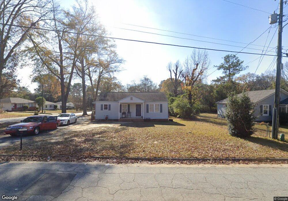
1926 51st St Columbus, GA 31904
North Columbus NeighborhoodEstimated Value: $72,000 - $85,035
2
Beds
2
Baths
936
Sq Ft
$84/Sq Ft
Est. Value
About This Home
This home is located at 1926 51st St, Columbus, GA 31904 and is currently estimated at $79,009, approximately $84 per square foot. 1926 51st St is a home located in Muscogee County with nearby schools including Allen Elementary School, Arnold Middle School, and Jordan Vocational High School.
Ownership History
Date
Name
Owned For
Owner Type
Purchase Details
Closed on
Jun 13, 2025
Sold by
Wells John E
Bought by
Wells Property Resources Llc
Current Estimated Value
Purchase Details
Closed on
Dec 15, 2021
Sold by
Earnest Ralph Thomas Est
Bought by
Wells John
Purchase Details
Closed on
Mar 27, 2009
Sold by
Wiggins Robert Earl
Bought by
Earnest Ralph Thomas
Home Financials for this Owner
Home Financials are based on the most recent Mortgage that was taken out on this home.
Original Mortgage
$62,000
Interest Rate
4.69%
Mortgage Type
Seller Take Back
Create a Home Valuation Report for This Property
The Home Valuation Report is an in-depth analysis detailing your home's value as well as a comparison with similar homes in the area
Home Values in the Area
Average Home Value in this Area
Purchase History
| Date | Buyer | Sale Price | Title Company |
|---|---|---|---|
| Wells Property Resources Llc | -- | None Listed On Document | |
| Wells Property Resources Llc | -- | None Listed On Document | |
| Wells John | $55,000 | -- | |
| Shackelford Whitney Earnest | $55,000 | None Listed On Document | |
| Earnest Ralph Thomas | $65,900 | None Available |
Source: Public Records
Mortgage History
| Date | Status | Borrower | Loan Amount |
|---|---|---|---|
| Previous Owner | Earnest Ralph Thomas | $62,000 |
Source: Public Records
Tax History
| Year | Tax Paid | Tax Assessment Tax Assessment Total Assessment is a certain percentage of the fair market value that is determined by local assessors to be the total taxable value of land and additions on the property. | Land | Improvement |
|---|---|---|---|---|
| 2025 | $1,144 | $29,236 | $8,664 | $20,572 |
| 2024 | $1,144 | $29,236 | $8,664 | $20,572 |
| 2023 | $1,152 | $29,236 | $8,664 | $20,572 |
| 2022 | $1,070 | $26,200 | $8,664 | $17,536 |
| 2021 | $525 | $25,564 | $8,664 | $16,900 |
| 2020 | $525 | $25,564 | $8,664 | $16,900 |
| 2019 | $529 | $25,564 | $8,664 | $16,900 |
| 2018 | $529 | $25,564 | $8,664 | $16,900 |
| 2017 | $3,690 | $25,564 | $8,664 | $16,900 |
| 2016 | $535 | $26,252 | $2,555 | $23,697 |
| 2015 | $434 | $26,252 | $2,555 | $23,697 |
| 2014 | $434 | $26,252 | $2,555 | $23,697 |
| 2013 | -- | $26,252 | $2,555 | $23,697 |
Source: Public Records
Map
Nearby Homes
- 4814 20th Ave
- 4830 17th Ave
- 4526 19th Ave
- 2322 Winchester Dr
- 2000 Lancaster Dr
- 5224 23rd Ave
- 2329 Devonshire Dr
- 5239 23rd Ave
- 2325 Coventry Dr
- 4214 17th Ave
- 5110 11th Ave
- 5106 11th Ave
- 5118 11th Ave
- 1103 52nd St
- 5131 11th Ave
- 5106 Kolb Ave
- 4310 Acacia Dr
- 2110 Terrace Dr
- 4001 17th Ave
- 3905 Crestview Dr
Your Personal Tour Guide
Ask me questions while you tour the home.