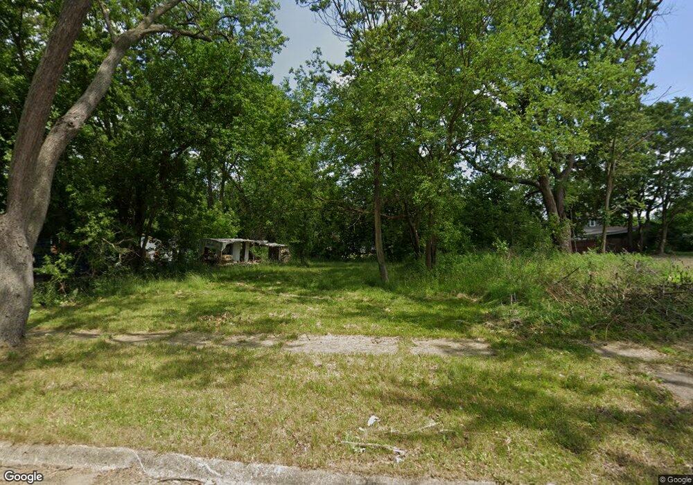
1926 Burns St Flint, MI 48506
Eastside NeighborhoodEstimated Value: $55,000 - $91,000
3
Beds
1
Bath
870
Sq Ft
$84/Sq Ft
Est. Value
About This Home
This home is located at 1926 Burns St, Flint, MI 48506 and is currently estimated at $73,000, approximately $83 per square foot. 1926 Burns St is a home located in Genesee County with nearby schools including Potter School, Flint Cultural Center Academy, and WAY Academy of Flint.
Ownership History
Date
Name
Owned For
Owner Type
Purchase Details
Closed on
Jan 5, 2012
Sold by
The Genesee County Land Bank Authority
Bought by
Liles Shirley Ann
Current Estimated Value
Purchase Details
Closed on
Dec 21, 2011
Sold by
Genesee County Treasurer
Bought by
Genesee County Land Bank
Purchase Details
Closed on
Jun 11, 2004
Sold by
Szabo Edward
Bought by
Szabo Edward and Church On The Roc
Create a Home Valuation Report for This Property
The Home Valuation Report is an in-depth analysis detailing your home's value as well as a comparison with similar homes in the area
Home Values in the Area
Average Home Value in this Area
Purchase History
We collect this data history from publicly available records. To have your information removed, we recommend requesting removal directly through your county’s website.
| Date | Buyer | Sale Price | Title Company |
|---|---|---|---|
| Liles Shirley Ann | $7,000 | None Available | |
| Genesee County Land Bank | -- | None Available | |
| Szabo Edward | -- | First American Title Ins Co |
Source: Public Records
Mortgage History
We collect this data history from publicly available records. To have your information removed, we recommend requesting removal directly through your county’s website.
| Date | Status | Borrower | Loan Amount |
|---|---|---|---|
| Closed | Liles Shirley Ann | $0 |
Source: Public Records
Tax History
| Year | Tax Paid | Tax Assessment Tax Assessment Total Assessment is a certain percentage of the fair market value that is determined by local assessors to be the total taxable value of land and additions on the property. | Land | Improvement |
|---|---|---|---|---|
| 2025 | -- | $0 | $0 | $0 |
| 2024 | -- | $0 | $0 | $0 |
| 2023 | -- | $0 | $0 | $0 |
| 2022 | $0 | $0 | $0 | $0 |
| 2021 | $0 | $0 | $0 | $0 |
| 2020 | $0 | $0 | $0 | $0 |
| 2019 | $0 | $0 | $0 | $0 |
| 2018 | $0 | $0 | $0 | $0 |
| 2017 | $0 | $0 | $0 | $0 |
| 2016 | $0 | $0 | $0 | $0 |
| 2015 | -- | $0 | $0 | $0 |
| 2014 | -- | $0 | $0 | $0 |
| 2012 | -- | $0 | $0 | $0 |
Source: Public Records
Map
Nearby Homes
- 1714 Levern St
- 1917 Davison Rd
- 2428 Illinois Ave
- 2601 Bennett Ave
- 2212 Hoff St
- 2321 Levern St
- 1501 Arlington Ave
- 2613 Woodrow Ave
- 2429 Pennsylvania Ave
- 1805 Bennett Ave
- 2433 Pennsylvania Ave
- 2426 Hoff St
- 2301 Missouri Ave
- 2506 Arlington Ave
- 2415 N Dort Hwy
- 2610 Pennsylvania Ave
- 2426 Missouri Ave
- 1724 Ohio Ave
- 1318 Cronk Ave
- 2429 Delaware Ave
Your Personal Tour Guide
Ask me questions while you tour the home.