1926 Channel St North Bend, OR 97459
Estimated Value: $394,000 - $445,443
3
Beds
2
Baths
1,218
Sq Ft
$337/Sq Ft
Est. Value
About This Home
This home is located at 1926 Channel St, North Bend, OR 97459 and is currently estimated at $410,361, approximately $336 per square foot. 1926 Channel St is a home located in Coos County with nearby schools including Hillcrest Elementary School, North Bay Elementary School, and North Bend Middle School.
Ownership History
Date
Name
Owned For
Owner Type
Purchase Details
Closed on
Sep 14, 2007
Sold by
Miles Barbara L
Bought by
Lampe Kenneth R and Lampe Valerie I
Current Estimated Value
Home Financials for this Owner
Home Financials are based on the most recent Mortgage that was taken out on this home.
Original Mortgage
$184,000
Outstanding Balance
$117,092
Interest Rate
6.67%
Mortgage Type
Purchase Money Mortgage
Estimated Equity
$293,269
Purchase Details
Closed on
Oct 4, 2005
Sold by
Parvin Dara and Parvin Linet
Bought by
Miles Barbara L
Home Financials for this Owner
Home Financials are based on the most recent Mortgage that was taken out on this home.
Original Mortgage
$175,900
Interest Rate
1.37%
Mortgage Type
Fannie Mae Freddie Mac
Create a Home Valuation Report for This Property
The Home Valuation Report is an in-depth analysis detailing your home's value as well as a comparison with similar homes in the area
Home Values in the Area
Average Home Value in this Area
Purchase History
| Date | Buyer | Sale Price | Title Company |
|---|---|---|---|
| Lampe Kenneth R | $230,000 | Fidelity National Title Co | |
| Miles Barbara L | $219,900 | Ticor Title Insurance |
Source: Public Records
Mortgage History
| Date | Status | Borrower | Loan Amount |
|---|---|---|---|
| Open | Lampe Kenneth R | $184,000 | |
| Previous Owner | Miles Barbara L | $175,900 |
Source: Public Records
Tax History Compared to Growth
Tax History
| Year | Tax Paid | Tax Assessment Tax Assessment Total Assessment is a certain percentage of the fair market value that is determined by local assessors to be the total taxable value of land and additions on the property. | Land | Improvement |
|---|---|---|---|---|
| 2024 | $3,420 | $222,270 | -- | -- |
| 2023 | $3,320 | $215,800 | $0 | $0 |
| 2022 | $3,284 | $209,520 | $0 | $0 |
| 2021 | $3,364 | $203,420 | $0 | $0 |
| 2020 | $3,151 | $203,420 | $0 | $0 |
| 2019 | $3,014 | $191,750 | $0 | $0 |
| 2018 | $2,930 | $186,170 | $0 | $0 |
| 2017 | $2,848 | $180,750 | $0 | $0 |
| 2016 | $2,761 | $175,490 | $0 | $0 |
| 2015 | $2,557 | $170,380 | $0 | $0 |
| 2014 | $2,557 | $165,420 | $0 | $0 |
Source: Public Records
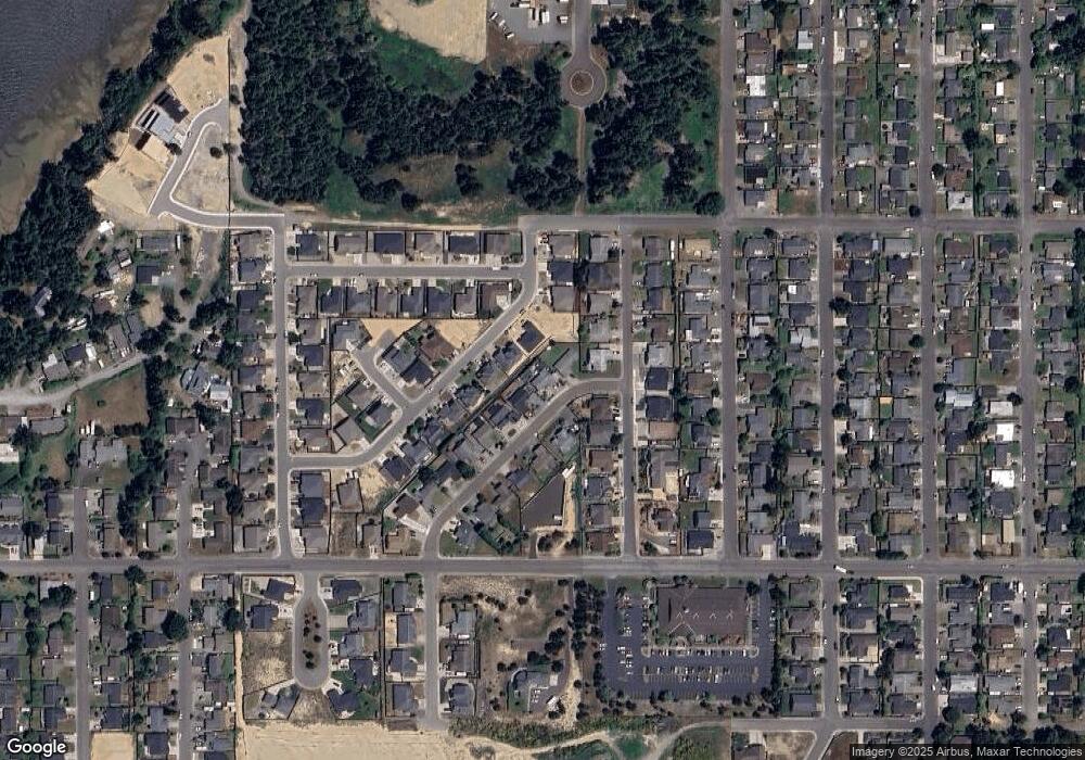
Map
Nearby Homes
- 1915 Arthur St
- 2065 Hayes St
- 1900 Grant St
- 2180 Hayes St
- 1940 Pacific View Ln
- 1275 Fenwick St
- 1123 Crocker St
- 2270 Hayes St
- 1655 Garfield St
- 1400 Holloway Mews
- 1344 Seagate Ave
- 1065 Crocker St
- 1710 Johnson St
- 2215 Garfield St
- 1711 Johnson St
- 2317 Laura Ln
- 1065 Fenwick St
- 1125 Augustine Ave
- 1557 Hayes St
- 0 Seagate Ave Unit 24532470
- 1904 Channel St
- 1853 Steelhead St
- 1849 Steelhead St
- 1859 Steelhead St
- 1946 Channel St Unit 1
- 1946 Channel St
- 1843 Steelhead St
- 1833 Steelhead St
- 1829 Steelhead St
- 1927 Channel St
- 1908 Cleveland St
- 1876 Cleveland St
- 1883 Steelhead St
- 1863 Steelhead St
- 1992 Channel St
- 1856 Cleveland St
- 1950 Cleveland St
- 1956 Channel St
- 1937 Channel St
- 1839 Steelhead St