1926 County Road C Somerset, WI 54025
Estimated Value: $397,276 - $630,000
3
Beds
3
Baths
--
Sq Ft
4.97
Acres
About This Home
This home is located at 1926 County Road C, Somerset, WI 54025 and is currently estimated at $493,069. 1926 County Road C is a home located in St. Croix County with nearby schools including Somerset Elementary School, Somerset Middle School, and Somerset High School.
Ownership History
Date
Name
Owned For
Owner Type
Purchase Details
Closed on
Jan 10, 2022
Sold by
L. Mccabe Denise
Bought by
C. Mccabe Michael
Current Estimated Value
Home Financials for this Owner
Home Financials are based on the most recent Mortgage that was taken out on this home.
Original Mortgage
$186,510
Outstanding Balance
$159,756
Interest Rate
3.11%
Mortgage Type
New Conventional
Estimated Equity
$333,313
Purchase Details
Closed on
Oct 6, 2011
Sold by
Mccabe Denise L
Bought by
Mccabe Michael C
Purchase Details
Closed on
Dec 24, 2010
Sold by
Bilgrien Joseph J and Bilgrien Rosemary
Bought by
Mccabe Michael C
Home Financials for this Owner
Home Financials are based on the most recent Mortgage that was taken out on this home.
Original Mortgage
$200,000
Interest Rate
4.5%
Mortgage Type
New Conventional
Create a Home Valuation Report for This Property
The Home Valuation Report is an in-depth analysis detailing your home's value as well as a comparison with similar homes in the area
Home Values in the Area
Average Home Value in this Area
Purchase History
| Date | Buyer | Sale Price | Title Company |
|---|---|---|---|
| C. Mccabe Michael | $172,000 | Land Title, Inc. | |
| Mccabe Michael C | -- | None Available | |
| Mccabe Michael C | $250,000 | Land Title Inc |
Source: Public Records
Mortgage History
| Date | Status | Borrower | Loan Amount |
|---|---|---|---|
| Open | C. Mccabe Michael | $186,510 | |
| Previous Owner | Mccabe Michael C | $200,000 |
Source: Public Records
Tax History Compared to Growth
Tax History
| Year | Tax Paid | Tax Assessment Tax Assessment Total Assessment is a certain percentage of the fair market value that is determined by local assessors to be the total taxable value of land and additions on the property. | Land | Improvement |
|---|---|---|---|---|
| 2024 | $35 | $257,400 | $47,900 | $209,500 |
| 2023 | $3,686 | $257,400 | $47,900 | $209,500 |
| 2022 | $3,213 | $257,400 | $47,900 | $209,500 |
| 2021 | $3,255 | $257,400 | $47,900 | $209,500 |
| 2020 | $3,166 | $257,400 | $47,900 | $209,500 |
| 2019 | $3,171 | $257,400 | $47,900 | $209,500 |
| 2018 | $3,078 | $191,400 | $33,900 | $157,500 |
| 2017 | $2,965 | $191,400 | $33,900 | $157,500 |
| 2016 | $2,965 | $191,400 | $33,900 | $157,500 |
| 2015 | $2,803 | $191,400 | $33,900 | $157,500 |
| 2014 | $2,772 | $191,400 | $33,900 | $157,500 |
| 2013 | $2,987 | $191,400 | $33,900 | $157,500 |
Source: Public Records
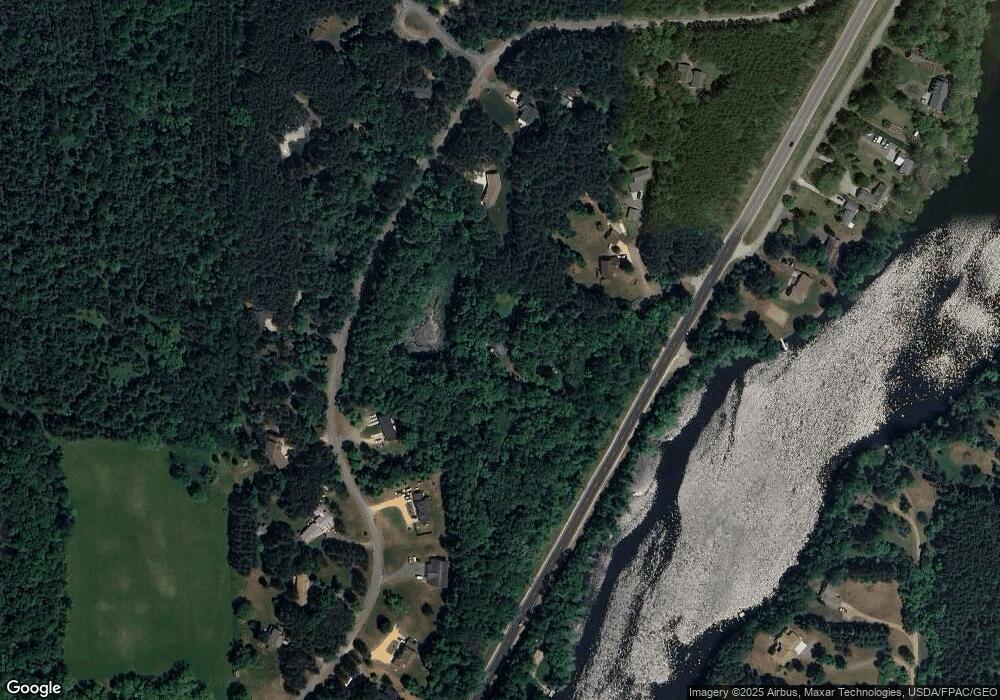
Map
Nearby Homes
- 872 183rd Ct
- 919 189th Ave
- 1888 80th St
- 1992 80th St
- 885 183rd Ct
- 893 183rd Ct
- 861 Sutherland St
- 869 Sutherland St
- 837 Sutherland St
- 873 Sutherland St
- 829 Sutherland St
- 821 Sutherland St
- 309 Walnut Ln
- 310 Aspen Dr
- 318 Aspen Dr
- TBD Nighthawk Dr ( Apple River Lot) Lot 9
- TBD Nighthawk Dr ( Apple River Lot) Lot 5
- TBD Nighthawk Dr ( Apple River Lot) Lot 6
- TBD Nighthawk Dr ( Apple River Lot) Lot 4
- TBD Nighthawk Dr ( Apple River Lot) Lot 10
- 1899 County Road C
- 1907 County Road C
- xxx Raleigh Rd
- 1902 Raleigh Rd
- 1912 Raleigh Rd
- 1912 Raleigh Rd
- 1912 Raleigh Rd Unit A
- 1963 Riverview Ln
- 1935 Riverview Ln
- 1941 Riverview Ln
- 1925 Riverview Ln
- 1921 Riverview Ln
- 1917 Riverview Ln
- 1913 Riverview Ln
- 1911 Riverview Ln
- 1909 Riverview Ln
- 1907 Riverview Ln
- 1908 Riverview Ln
- 1914 Riverview Ln
- 1920 Riverview Ln