Estimated Value: $604,537 - $662,000
4
Beds
3
Baths
2,170
Sq Ft
$291/Sq Ft
Est. Value
About This Home
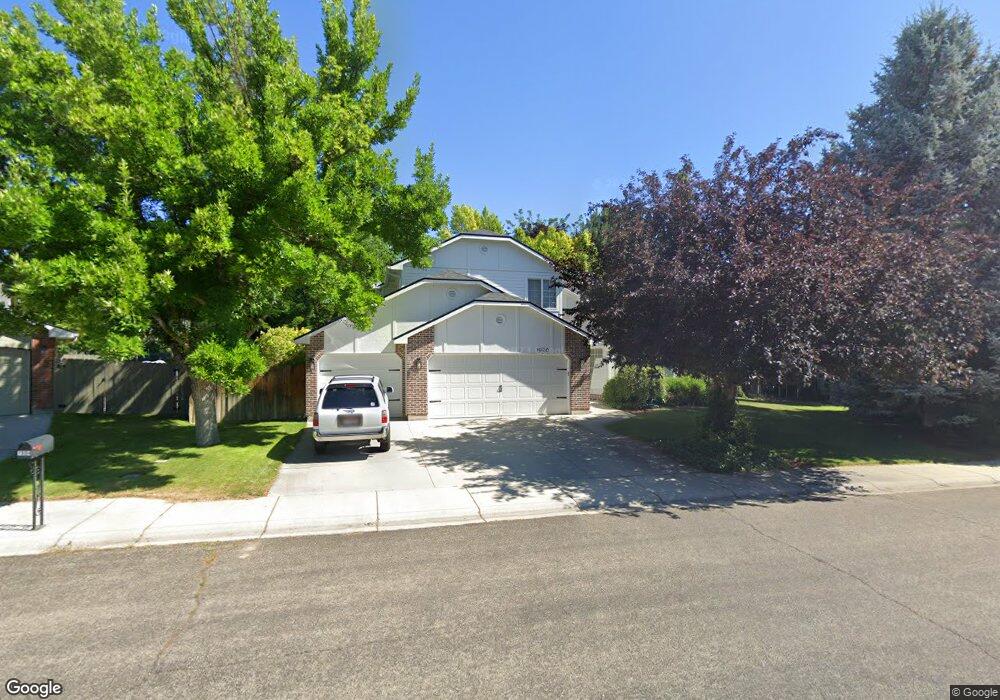
This home is located at 1926 E Cypress Point Dr, Eagle, ID 83616 and is currently estimated at $631,134, approximately $290 per square foot. 1926 E Cypress Point Dr is a home located in Ada County with nearby schools including Seven Oaks Elementary School, Eagle Middle School, and Eagle High School.
Ownership History
Date
Name
Owned For
Owner Type
Purchase Details
Closed on
May 2, 2002
Sold by
Castrigno Matthew and Castrigno Melissa
Bought by
Fisk Robert B and Fisk Catherine P
Current Estimated Value
Home Financials for this Owner
Home Financials are based on the most recent Mortgage that was taken out on this home.
Original Mortgage
$182,800
Interest Rate
7.13%
Mortgage Type
Purchase Money Mortgage
Purchase Details
Closed on
Nov 18, 1999
Sold by
Franklin Office Park Llc
Bought by
Castrigno Matthew
Create a Home Valuation Report for This Property
The Home Valuation Report is an in-depth analysis detailing your home's value as well as a comparison with similar homes in the area
Home Values in the Area
Average Home Value in this Area
Purchase History
| Date | Buyer | Sale Price | Title Company |
|---|---|---|---|
| Fisk Robert B | -- | Title One | |
| Castrigno Matthew | -- | -- |
Source: Public Records
Mortgage History
| Date | Status | Borrower | Loan Amount |
|---|---|---|---|
| Closed | Fisk Robert B | $182,800 |
Source: Public Records
Tax History
| Year | Tax Paid | Tax Assessment Tax Assessment Total Assessment is a certain percentage of the fair market value that is determined by local assessors to be the total taxable value of land and additions on the property. | Land | Improvement |
|---|---|---|---|---|
| 2025 | $1,548 | $545,900 | -- | -- |
| 2024 | $1,551 | $505,100 | -- | -- |
| 2023 | $1,551 | $470,700 | $0 | $0 |
| 2022 | $1,969 | $566,100 | $0 | $0 |
| 2021 | $1,730 | $413,800 | $0 | $0 |
| 2020 | $1,908 | $345,500 | $0 | $0 |
| 2019 | $2,230 | $334,500 | $0 | $0 |
| 2018 | $1,783 | $274,400 | $0 | $0 |
| 2017 | $1,694 | $256,800 | $0 | $0 |
| 2016 | $1,700 | $245,000 | $0 | $0 |
| 2015 | $1,421 | $227,400 | $0 | $0 |
| 2012 | -- | $193,200 | $0 | $0 |
Source: Public Records
Map
Nearby Homes
- 1151 N Torrey Pines Ave
- 1133 N Torrey Pines Ave
- 992 N Pinnacle Way
- 1712 E Myrtle Beach Ct
- 704 N Nicklaus Ln
- 2457 Skokie Dr E
- 2555 Skokie Dr E
- 2460 E Gleneagle St
- 2442 E Gleneagle St
- 2315 E Monhegan Dr
- 2343 E Monhegan Dr
- 611 N Hiltonhead Way
- 981 N Falling Water Way
- 857 N Falling Water Way
- 698 N Morning Glory Way
- 900 N Falling Water Way
- 883 N Falling Water Way
- 652 N Morning Glory Way
- 1149 N Watson Way
- 834 N Falling Water Way
- 1948 E Cypress Point Dr
- 1904 E Cypress Point Dr
- 1925 E Poppy Hills St
- 1213 N Faldo Way
- 1903 E Poppy Hills St
- 1915 E Cypress Point Dr
- 1937 E Cypress Point Dr
- 1169 N Torrey Pines Ave
- 1971 E Cypress Point Dr
- 1873 E Poppy Hills St
- 1192 N Faldo Way
- 1208 N Faldo Way
- 1190 N Pinnacle Way
- 1138 N Torrey Pines Ave
- 1936 E Poppy Hills St
- 1914 E Poppy Hills St
- 1958 E Poppy Hills St
- 2003 E Cypress Point Dr
- 1892 E Poppy Hills St
- 1216 N Faldo Way
Your Personal Tour Guide
Ask me questions while you tour the home.