1926 Firethorn Ct SE Unit 46 Grand Rapids, MI 49546
East Paris NeighborhoodEstimated Value: $467,965 - $521,000
3
Beds
3
Baths
2,700
Sq Ft
$183/Sq Ft
Est. Value
About This Home
This home is located at 1926 Firethorn Ct SE Unit 46, Grand Rapids, MI 49546 and is currently estimated at $495,241, approximately $183 per square foot. 1926 Firethorn Ct SE Unit 46 is a home located in Kent County with nearby schools including Meadow Brook Elementary School, Northern Trails 5/6 School, and Northern Hills Middle School.
Ownership History
Date
Name
Owned For
Owner Type
Purchase Details
Closed on
Mar 3, 2017
Sold by
Westing Donna Jean
Bought by
Westing Donna Jean
Current Estimated Value
Purchase Details
Closed on
Jun 23, 2009
Sold by
Westing Robert Earl
Bought by
Westing Donna Jean
Purchase Details
Closed on
May 26, 2004
Sold by
Stuart Gregory and Stuart Douglas
Bought by
Westing Robert and Westing Donna
Purchase Details
Closed on
May 15, 2000
Bought by
Stuart Gregory and Stuart D
Create a Home Valuation Report for This Property
The Home Valuation Report is an in-depth analysis detailing your home's value as well as a comparison with similar homes in the area
Home Values in the Area
Average Home Value in this Area
Purchase History
| Date | Buyer | Sale Price | Title Company |
|---|---|---|---|
| Westing Donna Jean | -- | None Available | |
| Westing Donna Jean | -- | None Available | |
| Westing Robert | $250,000 | -- | |
| Stuart Gregory | -- | -- | |
| Stuart Gregory | $37,500 | -- |
Source: Public Records
Tax History Compared to Growth
Tax History
| Year | Tax Paid | Tax Assessment Tax Assessment Total Assessment is a certain percentage of the fair market value that is determined by local assessors to be the total taxable value of land and additions on the property. | Land | Improvement |
|---|---|---|---|---|
| 2025 | $5,140 | $201,900 | $0 | $0 |
| 2024 | $5,140 | $212,900 | $0 | $0 |
| 2023 | $5,396 | $196,000 | $0 | $0 |
| 2022 | $5,059 | $168,800 | $0 | $0 |
| 2021 | $4,928 | $152,700 | $0 | $0 |
| 2020 | $4,069 | $150,500 | $0 | $0 |
| 2019 | $4,879 | $153,300 | $0 | $0 |
| 2018 | $4,807 | $145,700 | $0 | $0 |
| 2017 | $4,766 | $136,700 | $0 | $0 |
| 2016 | $4,624 | $126,300 | $0 | $0 |
| 2015 | $4,571 | $126,300 | $0 | $0 |
| 2013 | -- | $103,200 | $0 | $0 |
Source: Public Records
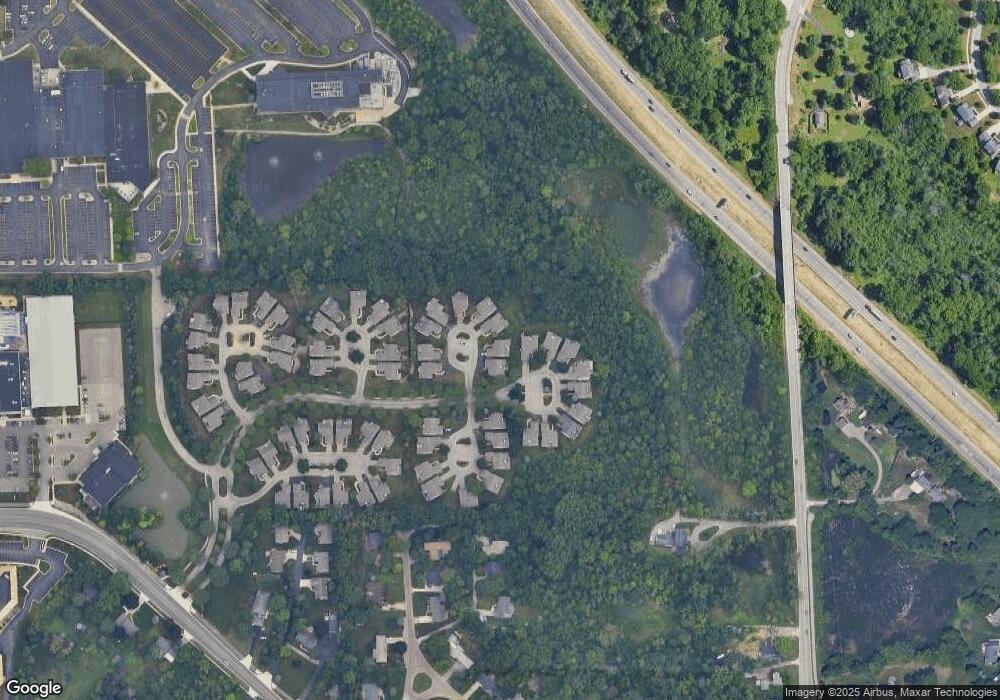
Map
Nearby Homes
- V/L 2124 Engleside Ave SE
- 1792 Forest Lake Dr SE
- 4478 Burton Forest Ct SE
- 4323 Woodside Oaks Dr SE
- 4327 Woodside Oaks Dr SE
- 1931 Keyhill Ave SE
- 4875 N Quail Crest Dr SE
- 3926 Lake Dr SE
- 4736 Burton St SE
- 1145 Eastmont Dr SE
- 1027 Waltham Ave SE
- 2462 Highridge Ln SE
- 2242 Christine Ct SE
- 3029 Poplar Creek Dr SE Unit 103
- 2546 Highridge Ln SE
- 4972 Luxemburg St SE Unit 8
- 3075 Poplar Creek Dr SE Unit 303
- 3151 Poplar Creek Dr SE Unit 202
- 3070 Riviera Ct SE
- 3041 Burton St SE
- 1938 Firethorn Ct SE
- 1938 Firethorn Ct SE Unit 44
- 1918 Firethorn Ct SE
- 4285 Sabal Pointe Dr SE
- 1908 Firethorn Ct SE
- 1908 Firethorn Ct SE Unit 44
- 4291 Sabal Pointe Dr SE
- 1906 Firethorn Ct SE
- 1929 Firethorn Ct SE Unit 40
- 1929 Firethorn Ct SE
- 1941 Firethorn Ct SE
- 1960 Burning Woods Ct SE
- 1921 Firethorn Ct SE Unit 41
- 4299 Sabal Pointe Dr SE
- 1909 Firethorn Ct SE
- 4307 Sabal Pointe Dr SE
- 4286 Sabal Pointe Dr SE
- 4308 Sabal Pointe Dr SE Unit 52
- 1961 Burning Woods Ct SE
- 1961 Burning Woods Ct SE Unit 65