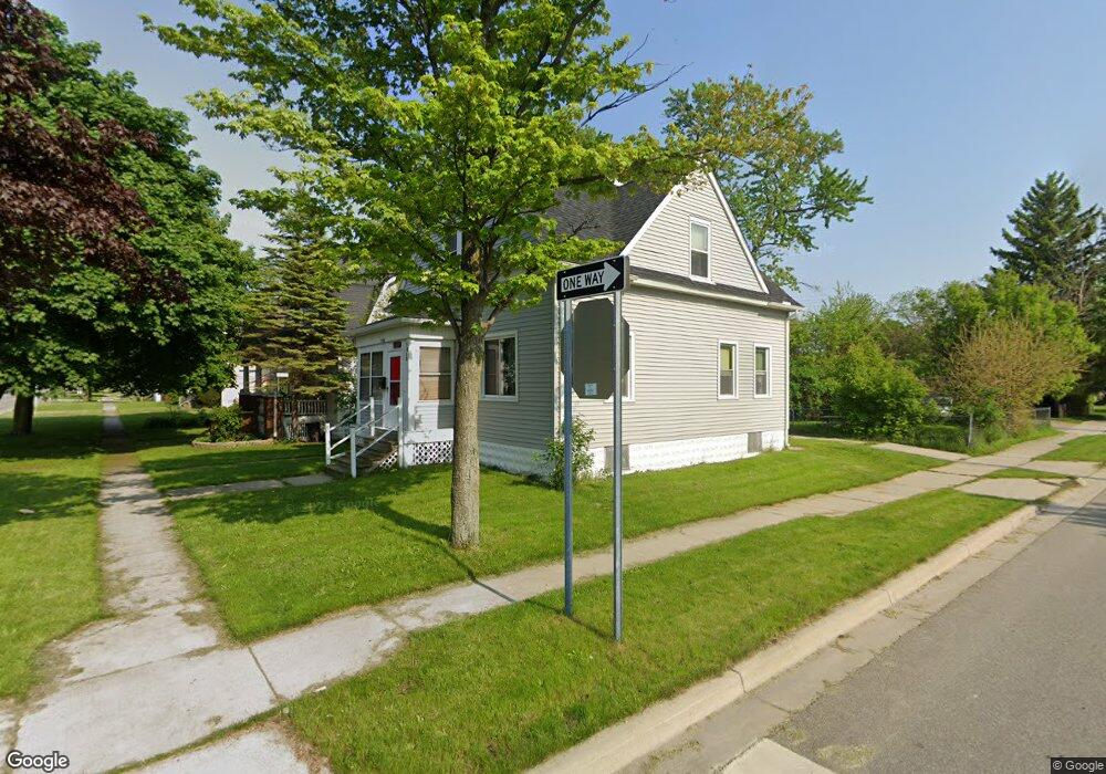
1926 Griswold St Port Huron, MI 48060
Estimated Value: $122,308 - $149,000
3
Beds
1
Bath
1,200
Sq Ft
$112/Sq Ft
Est. Value
About This Home
This home is located at 1926 Griswold St, Port Huron, MI 48060 and is currently estimated at $134,827, approximately $112 per square foot. 1926 Griswold St is a home located in St. Clair County with nearby schools including Michigamme Elementary School, Central Middle School, and Port Huron High School.
Ownership History
Date
Name
Owned For
Owner Type
Purchase Details
Closed on
Nov 4, 2021
Sold by
Sandoval Carol J and Sandoval Rebecca
Bought by
Sandoval Carol J and Rogers Roy
Current Estimated Value
Purchase Details
Closed on
Feb 23, 2009
Sold by
Sandoval Danny Lee and Sandoval Carol
Bought by
Sandoval Danny Lee and Sandoval Carol
Purchase Details
Closed on
Feb 9, 2007
Sold by
Sandoval Danny Lee and Sandoval Carol
Bought by
Sandoval Danny Lee and Sandoval Carol
Create a Home Valuation Report for This Property
The Home Valuation Report is an in-depth analysis detailing your home's value as well as a comparison with similar homes in the area
Home Values in the Area
Average Home Value in this Area
Purchase History
| Date | Buyer | Sale Price | Title Company |
|---|---|---|---|
| Sandoval Carol J | -- | None Listed On Document | |
| Sandoval Danny Lee | -- | None Available | |
| Sandoval Danny Lee | -- | None Available |
Source: Public Records
Tax History Compared to Growth
Tax History
| Year | Tax Paid | Tax Assessment Tax Assessment Total Assessment is a certain percentage of the fair market value that is determined by local assessors to be the total taxable value of land and additions on the property. | Land | Improvement |
|---|---|---|---|---|
| 2025 | $1,255 | $50,200 | $0 | $0 |
| 2024 | $1,014 | $47,600 | $0 | $0 |
| 2023 | $958 | $42,100 | $0 | $0 |
| 2022 | $942 | $35,200 | $0 | $0 |
| 2021 | $895 | $31,100 | $0 | $0 |
| 2020 | $905 | $27,200 | $27,200 | $0 |
| 2019 | $889 | $19,500 | $0 | $0 |
| 2018 | $870 | $19,500 | $0 | $0 |
| 2017 | $778 | $18,300 | $0 | $0 |
| 2016 | $654 | $18,300 | $0 | $0 |
| 2015 | $685 | $18,200 | $18,200 | $0 |
| 2014 | $685 | $19,100 | $19,100 | $0 |
| 2013 | -- | $21,000 | $0 | $0 |
Source: Public Records
Map
Nearby Homes
- 1922 Griswold St
- 1920 Griswold St
- 2004 Griswold St
- 1613 20th St
- 2008 Griswold St
- 1918 Griswold St
- 2014 Griswold St
- 1925 Oak St
- 1919 Oak St
- 1908 Griswold St
- 1915 Oak St
- 1911 Oak St
- 1615 20th St
- 1900 Griswold St
- 1907 Oak St
- 1902 Griswold St
- 1907 Griswold St
- 1919 Griswold St
- 1623 20th St
- 1903 Griswold St