1926 Oakwood Dr Mount Pleasant, MI 48858
Estimated Value: $210,991 - $260,000
--
Bed
--
Bath
--
Sq Ft
--
Built
About This Home
This home is located at 1926 Oakwood Dr, Mount Pleasant, MI 48858 and is currently estimated at $237,998. 1926 Oakwood Dr is a home located in Isabella County with nearby schools including White Pine Montessori Children's Center, Sacred Heart Academy Elementary School, and Mt Pleasant Sda Elementary School.
Ownership History
Date
Name
Owned For
Owner Type
Purchase Details
Closed on
Oct 23, 2008
Current Estimated Value
Create a Home Valuation Report for This Property
The Home Valuation Report is an in-depth analysis detailing your home's value as well as a comparison with similar homes in the area
Home Values in the Area
Average Home Value in this Area
Purchase History
| Date | Buyer | Sale Price | Title Company |
|---|---|---|---|
| -- | -- | -- |
Source: Public Records
Tax History Compared to Growth
Tax History
| Year | Tax Paid | Tax Assessment Tax Assessment Total Assessment is a certain percentage of the fair market value that is determined by local assessors to be the total taxable value of land and additions on the property. | Land | Improvement |
|---|---|---|---|---|
| 2025 | $763 | $94,500 | $0 | $0 |
| 2024 | $763 | $93,000 | $0 | $0 |
| 2023 | $763 | $87,100 | $0 | $0 |
| 2022 | $17 | $79,100 | $0 | $0 |
| 2021 | $17 | $76,700 | $0 | $0 |
| 2020 | $17 | $53,000 | $0 | $0 |
| 2019 | $17 | $0 | $0 | $0 |
| 2017 | $1,717 | $62,700 | $0 | $0 |
| 2016 | $1,702 | $61,900 | $0 | $0 |
| 2015 | $7,669,258 | $62,600 | $0 | $0 |
| 2014 | -- | $59,500 | $0 | $0 |
Source: Public Records
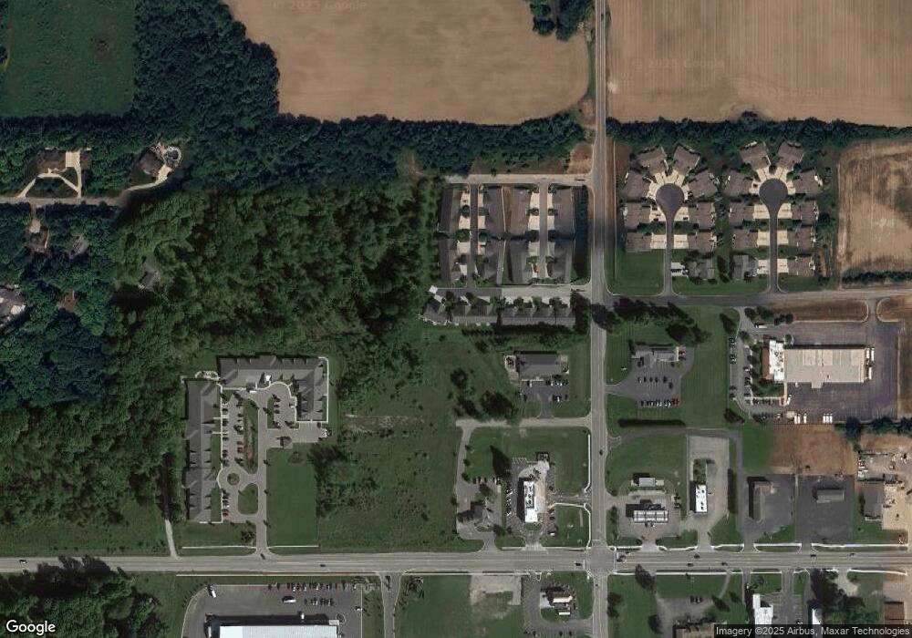
Map
Nearby Homes
- 2378 S Lincoln Rd
- 3332 S Lincoln Rd
- 2275 Sandstone Dr
- 2093 Cobblestone Ct
- 208 N Bradley St
- 1504 W Lyons St
- 1603 W Broadway St
- 1825 Oakland Dr
- 1302 W Lyons St
- 3 Patrick Ct
- 6 Patrick Ct
- 4 Patrick Ct Unit 4
- 1220 Belnap St
- 715 N Bradley St
- TBD Rose Marie Ln
- 807 Whitney St
- 113 Livingston St
- 304 N Adams St
- 721 N Henry St
- 1007 Park St
- 1928 Oakwood Dr
- 1936 Oakwood Dr
- 1908 Oakwood Dr
- 1906 Oakwood Dr
- 1938 Oakwood Dr
- 2818 Weatherwood St
- 1938 E Oakwood Dr
- 1938 E Oakwood Dr Unit 14
- 2812 Weatherwood St
- 2821 Weatherwood St
- 2815 Weatherwood St
- 2806 Weatherwood St
- 2800 Weatherwood St
- 2800 Weatherwood St Unit 10
- 2809 Weather Wood Ln
- 2809 Weatherwood St
- 2809 Weatherwood St Unit 13
- 2812 S Lincoln Rd Unit 6
- 2812 S Lincoln Rd Unit A 1
- 2812 S Lincoln Rd Unit A8