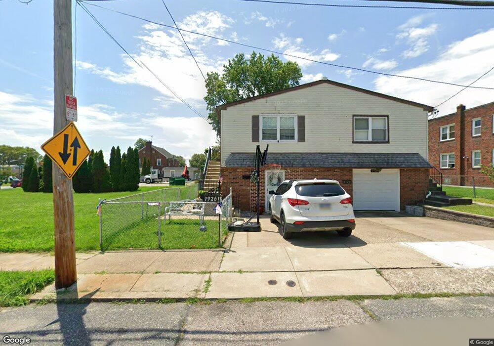
1926 Ripley St Philadelphia, PA 19111
Rhawnhurst NeighborhoodEstimated Value: $313,542 - $358,000
3
Beds
2
Baths
1,054
Sq Ft
$317/Sq Ft
Est. Value
About This Home
This home is located at 1926 Ripley St, Philadelphia, PA 19111 and is currently estimated at $334,636, approximately $317 per square foot. 1926 Ripley St is a home located in Philadelphia County with nearby schools including Rhawnhurst School, Castor Gardens Middle School, and Northeast High School.
Ownership History
Date
Name
Owned For
Owner Type
Purchase Details
Closed on
Apr 30, 2015
Sold by
Bareis Susan M
Bought by
Boccalupo Sharon M
Current Estimated Value
Home Financials for this Owner
Home Financials are based on the most recent Mortgage that was taken out on this home.
Original Mortgage
$163,483
Outstanding Balance
$130,638
Interest Rate
4.75%
Mortgage Type
FHA
Estimated Equity
$203,998
Purchase Details
Closed on
Jan 28, 1997
Sold by
Crenny Elizabeth L
Bought by
Bareis Robert J and Bareis Mary E
Create a Home Valuation Report for This Property
The Home Valuation Report is an in-depth analysis detailing your home's value as well as a comparison with similar homes in the area
Home Values in the Area
Average Home Value in this Area
Purchase History
| Date | Buyer | Sale Price | Title Company |
|---|---|---|---|
| Boccalupo Sharon M | $166,500 | None Available | |
| Bareis Robert J | $87,000 | -- |
Source: Public Records
Mortgage History
| Date | Status | Borrower | Loan Amount |
|---|---|---|---|
| Open | Boccalupo Sharon M | $163,483 |
Source: Public Records
Tax History Compared to Growth
Tax History
| Year | Tax Paid | Tax Assessment Tax Assessment Total Assessment is a certain percentage of the fair market value that is determined by local assessors to be the total taxable value of land and additions on the property. | Land | Improvement |
|---|---|---|---|---|
| 2025 | $3,108 | $277,800 | $55,560 | $222,240 |
| 2024 | $3,108 | $277,800 | $55,560 | $222,240 |
| 2023 | $3,108 | $222,000 | $44,400 | $177,600 |
| 2022 | $2,696 | $222,000 | $44,400 | $177,600 |
| 2021 | $2,696 | $0 | $0 | $0 |
| 2020 | $2,696 | $0 | $0 | $0 |
| 2019 | $2,454 | $0 | $0 | $0 |
| 2018 | $2,276 | $0 | $0 | $0 |
| 2017 | $2,276 | $0 | $0 | $0 |
| 2016 | $2,276 | $0 | $0 | $0 |
| 2015 | $2,179 | $0 | $0 | $0 |
| 2014 | -- | $162,600 | $43,345 | $119,255 |
| 2012 | -- | $23,584 | $4,272 | $19,312 |
Source: Public Records
Map
Nearby Homes
- 1931 33 Rhawn St
- 2029 Loney St
- 7912 14 Loretto Ave
- 2013 Fuller St
- 2123 Loney St
- 2023 Hartel Ave
- 7735 Loretto Ave
- 1920 Hartel Ave
- 1719 Loney St
- 1718 Rhawn St
- 1919 Lansing St
- 1826 Hartel Ave
- 1834 Lansing St
- 1704 Stanwood St
- 1702 Arthur St
- 2232 Stanwood St
- 7830 Summerdale Ave
- 1620 Loney St
- 1625 Rhawn St
- 7815 Horrocks St
- 1924 Ripley St
- 1922 Ripley St
- 1920 Ripley St
- 1927 Loney St
- 1925 Loney St
- 1923 Loney St
- 1921 Loney St
- 1916 Ripley St Unit 18
- 7956 Castor Ave
- 1916-18 Ripley St
- 1919 Loney St
- 1917 Loney St
- 1929 Ripley St
- 1914 Ripley St
- 0 Ripley St
- 1925 Ripley St Unit 27
- 1921 Ripley St Unit 23
- 1912 Ripley St
- 7941 Castor Ave
- 1919 Ripley St