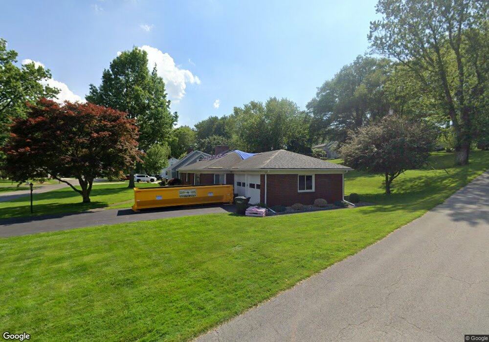
1926 Riverbend Pkwy Fremont, OH 43420
Estimated Value: $196,000 - $207,000
3
Beds
2
Baths
1,612
Sq Ft
$126/Sq Ft
Est. Value
About This Home
This home is located at 1926 Riverbend Pkwy, Fremont, OH 43420 and is currently estimated at $203,751, approximately $126 per square foot. 1926 Riverbend Pkwy is a home located in Sandusky County with nearby schools including Fremont Ross High School, St. Ann Catholic School, and St. Joseph School.
Ownership History
Date
Name
Owned For
Owner Type
Purchase Details
Closed on
Aug 11, 2010
Sold by
Fritz Albert W and Fritz Brenda J
Bought by
Trautwein Jason
Current Estimated Value
Home Financials for this Owner
Home Financials are based on the most recent Mortgage that was taken out on this home.
Original Mortgage
$87,805
Interest Rate
4.6%
Mortgage Type
VA
Purchase Details
Closed on
Dec 1, 1990
Sold by
Fritz Albert W and Fritz Brenda
Bought by
Trautwein Jason
Purchase Details
Closed on
Jul 1, 1990
Bought by
Trautwein Jason
Create a Home Valuation Report for This Property
The Home Valuation Report is an in-depth analysis detailing your home's value as well as a comparison with similar homes in the area
Home Values in the Area
Average Home Value in this Area
Purchase History
| Date | Buyer | Sale Price | Title Company |
|---|---|---|---|
| Trautwein Jason | $85,000 | First Am Title | |
| Trautwein Jason | $80,000 | -- | |
| Trautwein Jason | -- | -- |
Source: Public Records
Mortgage History
| Date | Status | Borrower | Loan Amount |
|---|---|---|---|
| Previous Owner | Trautwein Jason | $87,805 |
Source: Public Records
Tax History Compared to Growth
Tax History
| Year | Tax Paid | Tax Assessment Tax Assessment Total Assessment is a certain percentage of the fair market value that is determined by local assessors to be the total taxable value of land and additions on the property. | Land | Improvement |
|---|---|---|---|---|
| 2024 | $2,424 | $64,410 | $10,540 | $53,870 |
| 2023 | $2,424 | $51,530 | $8,440 | $43,090 |
| 2022 | $2,061 | $51,530 | $8,440 | $43,090 |
| 2021 | $2,532 | $51,530 | $8,440 | $43,090 |
| 2020 | $2,290 | $44,910 | $8,440 | $36,470 |
| 2019 | $2,318 | $44,910 | $8,440 | $36,470 |
| 2018 | $2,321 | $44,910 | $8,440 | $36,470 |
| 2017 | $2,188 | $41,590 | $8,440 | $33,150 |
| 2016 | $1,980 | $41,590 | $8,440 | $33,150 |
| 2015 | $1,955 | $41,590 | $8,440 | $33,150 |
| 2014 | $2,059 | $42,350 | $8,120 | $34,230 |
| 2013 | $2,025 | $42,350 | $8,120 | $34,230 |
Source: Public Records
Map
Nearby Homes
- 1730 Port Clinton Rd Unit 41
- 1730 Port Clinton Rd
- 1730 Port Clinton Rd Unit 33
- 711 Bloom Rd
- 0 Sean Dr
- Outlot A Sean Dr
- 2100 Ohio 53
- 612 2nd St
- 533 Sandusky Ave Unit 535
- 900 Spring St
- 433 Sandusky Ave
- 711 Rawson Ave
- 1441 White Ave
- 340 340 Sandusky Ave
- 1227 White Ave
- 516 N Front St
- 322 4th St
- 224 Sandusky Ave Unit 226
- 427 N Clover St
- 1548 North St
- 1918 Riverbend Pkwy
- 236 Yacht Club Dr
- 1921 Riverbend Pkwy
- 1929 Riverbend Pkwy
- 1914 Riverbend Pkwy
- 224 Yacht Club Dr
- 1915 Whittaker Dr
- 1913 Riverbend Pkwy
- 248 Yacht Club Dr
- 1931 Whittaker Dr
- 1910 Riverbend Pkwy
- 214 Yacht Club Dr
- 1909 Riverbend Pkwy
- 1900 Riverbend Pkwy
- 1905 Whittaker Dr
- 1939 Whittaker Dr
- 210 Yacht Club Dr
- 1949 Whittaker Dr
- 1912 Whittaker Dr
- 1934 Whittaker Dr