The Civic 1926 W Burnside St Unit 1513 Portland, OR 97209
Goose Hollow NeighborhoodEstimated Value: $250,000 - $275,000
1
Bed
1
Bath
705
Sq Ft
$371/Sq Ft
Est. Value
About This Home
This home is located at 1926 W Burnside St Unit 1513, Portland, OR 97209 and is currently estimated at $261,616, approximately $371 per square foot. 1926 W Burnside St Unit 1513 is a home located in Multnomah County with nearby schools including Chapman Elementary School, Lincoln High School, and The Emerson School.
Ownership History
Date
Name
Owned For
Owner Type
Purchase Details
Closed on
Mar 24, 2016
Sold by
Peters Daniel
Bought by
Shokoian Soroosh
Current Estimated Value
Purchase Details
Closed on
Aug 29, 2007
Sold by
Civic Housing Llc
Bought by
Peters Daniel and Lessoff David
Home Financials for this Owner
Home Financials are based on the most recent Mortgage that was taken out on this home.
Original Mortgage
$272,000
Interest Rate
7.73%
Mortgage Type
Negative Amortization
Create a Home Valuation Report for This Property
The Home Valuation Report is an in-depth analysis detailing your home's value as well as a comparison with similar homes in the area
Home Values in the Area
Average Home Value in this Area
Purchase History
| Date | Buyer | Sale Price | Title Company |
|---|---|---|---|
| Shokoian Soroosh | $362,000 | Lawyers Title | |
| Peters Daniel | $340,000 | Ticor Title |
Source: Public Records
Mortgage History
| Date | Status | Borrower | Loan Amount |
|---|---|---|---|
| Previous Owner | Peters Daniel | $272,000 |
Source: Public Records
Tax History Compared to Growth
Tax History
| Year | Tax Paid | Tax Assessment Tax Assessment Total Assessment is a certain percentage of the fair market value that is determined by local assessors to be the total taxable value of land and additions on the property. | Land | Improvement |
|---|---|---|---|---|
| 2025 | $4,581 | $227,750 | -- | $227,750 |
| 2024 | $5,007 | $221,120 | -- | $221,120 |
| 2023 | $5,037 | $214,680 | $0 | $214,680 |
| 2022 | $5,162 | $208,430 | $0 | $0 |
| 2021 | $5,246 | $202,360 | $0 | $0 |
| 2020 | $5,014 | $196,470 | $0 | $0 |
| 2019 | $4,830 | $190,750 | $0 | $0 |
| 2018 | $4,688 | $185,200 | $0 | $0 |
| 2017 | $4,493 | $179,810 | $0 | $0 |
| 2016 | $4,112 | $174,580 | $0 | $0 |
| 2015 | $4,004 | $169,500 | $0 | $0 |
| 2014 | $3,599 | $164,570 | $0 | $0 |
Source: Public Records
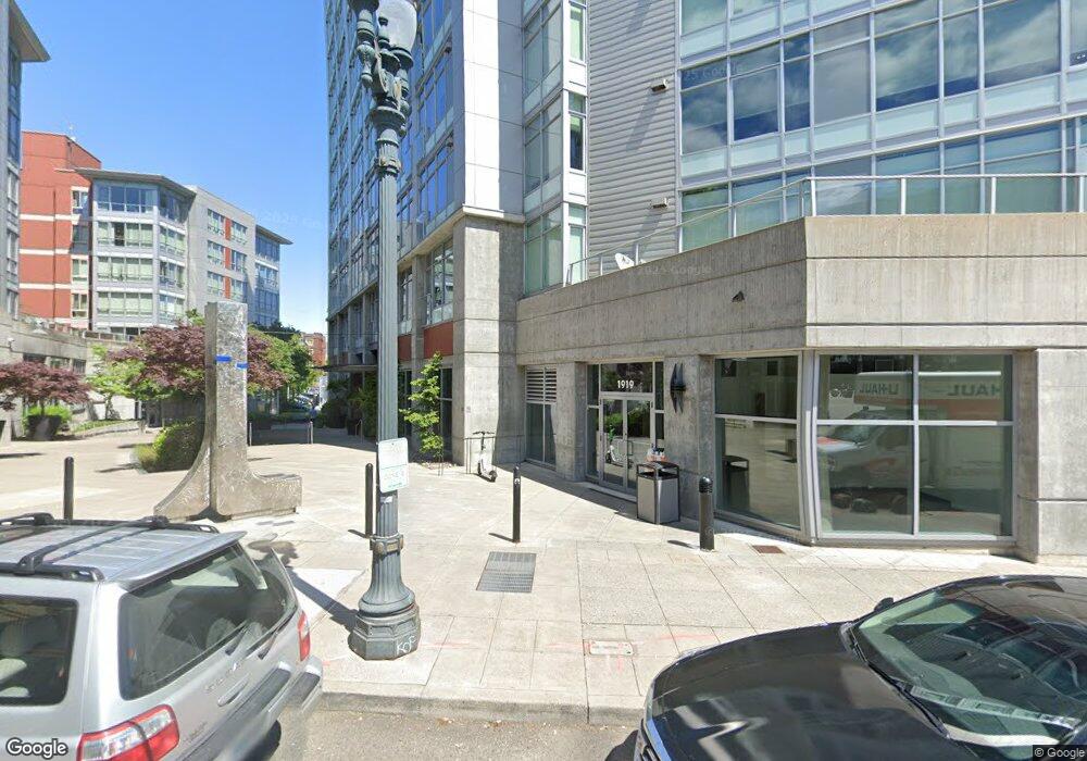
About The Civic
Map
Nearby Homes
- 1926 W Burnside St Unit 1602
- 1926 W Burnside St Unit 301
- 1926 W Burnside St Unit 1412
- 1926 W Burnside St Unit 906
- 1926 W Burnside St Unit 1401
- 1811 NW Couch St Unit 210
- 1811 NW Couch St Unit 506
- 1811 NW Couch St Unit 410
- 1811 NW Couch St Unit 407
- 1811 NW Couch St Unit 508
- 1714 NW Couch St Unit 7
- 709 SW 16th Ave Unit 203
- 709 SW 16th Ave Unit 310
- 20 NW 16th Ave Unit 203
- 20 NW 16th Ave Unit 8
- 20 NW 16th Ave Unit 311
- 20 NW 16th Ave Unit 404
- 333 NW 20th Ave Unit 2
- 1631 NW Everett St Unit 301
- 1631 NW Everett St Unit 100
- 1926 W Burnside St
- 1926 W Burnside St Unit 916
- 1926 W Burnside St Unit 601
- 1926 W Burnside St Unit 1609
- 1926 W Burnside St Unit 1607
- 1926 W Burnside St Unit 1606
- 1926 W Burnside St Unit 1605
- 1926 W Burnside St Unit 1604
- 1926 W Burnside St Unit 1603
- 1926 W Burnside St Unit 1601
- 1926 W Burnside St Unit 1600
- 1926 W Burnside St Unit 1519
- 1926 W Burnside St Unit 1517
- 1926 W Burnside St Unit 1516
- 1926 W Burnside St Unit 1515
- 1926 W Burnside St Unit 1514
- 1926 W Burnside St Unit 1512
- 1926 W Burnside St Unit 1511
- 1926 W Burnside St Unit 1510
- 1926 W Burnside St Unit 1509