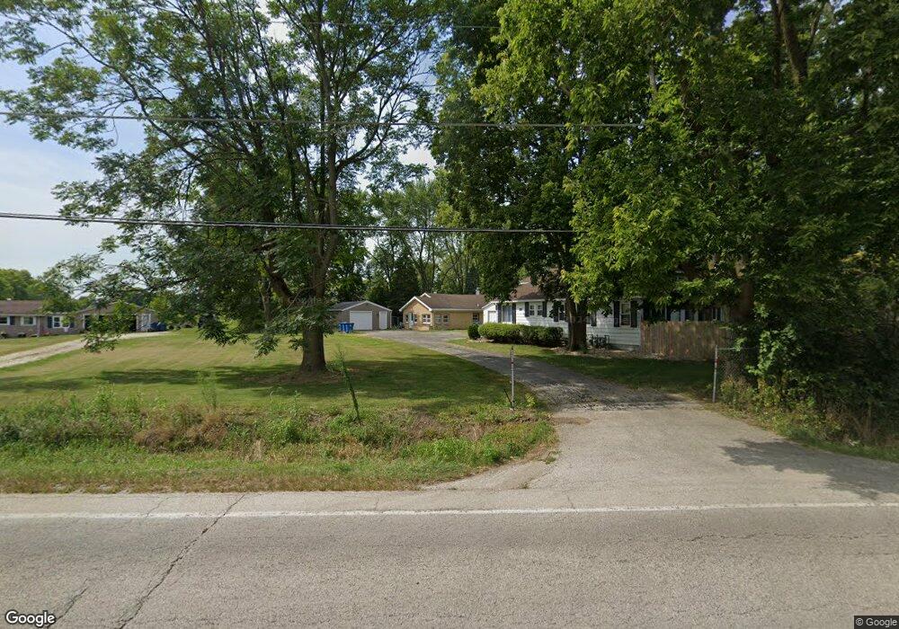
1926 W State Route 113 Unit A Kankakee, IL 60901
Estimated Value: $261,000
--
Bed
--
Bath
--
Sq Ft
0.6
Acres
About This Home
This home is located at 1926 W State Route 113 Unit A, Kankakee, IL 60901 and is currently priced at $261,000. 1926 W State Route 113 Unit A is a home located in Kankakee County with nearby schools including Herscher High School, Kankakee Trinity Academy, and L W C Academy.
Ownership History
Date
Name
Owned For
Owner Type
Purchase Details
Closed on
Aug 11, 2023
Sold by
Bell Steven D and Bell Julie A
Bought by
Trust Number 3119
Current Estimated Value
Purchase Details
Closed on
Jun 24, 2015
Sold by
State Bk Of Herscher
Bought by
Bell Julie A and Bell Steven D
Home Financials for this Owner
Home Financials are based on the most recent Mortgage that was taken out on this home.
Original Mortgage
$127,500
Interest Rate
4.25%
Mortgage Type
New Conventional
Create a Home Valuation Report for This Property
The Home Valuation Report is an in-depth analysis detailing your home's value as well as a comparison with similar homes in the area
Home Values in the Area
Average Home Value in this Area
Purchase History
| Date | Buyer | Sale Price | Title Company |
|---|---|---|---|
| Trust Number 3119 | -- | None Listed On Document | |
| Bell Julie A | $170,000 | Kankakee Cnty Title & Tr |
Source: Public Records
Mortgage History
| Date | Status | Borrower | Loan Amount |
|---|---|---|---|
| Previous Owner | Bell Julie A | $127,500 |
Source: Public Records
Tax History Compared to Growth
Tax History
| Year | Tax Paid | Tax Assessment Tax Assessment Total Assessment is a certain percentage of the fair market value that is determined by local assessors to be the total taxable value of land and additions on the property. | Land | Improvement |
|---|---|---|---|---|
| 2022 | $2,347 | $30,421 | $4,134 | $26,287 |
| 2021 | $2,304 | $29,042 | $3,947 | $25,095 |
| 2020 | $2,289 | $28,473 | $3,870 | $24,603 |
| 2019 | $2,261 | $27,983 | $3,803 | $24,180 |
| 2018 | $2,229 | $27,570 | $3,747 | $23,823 |
| 2017 | $2,215 | $27,163 | $3,692 | $23,471 |
| 2016 | $1,577 | $19,211 | $3,593 | $15,618 |
| 2015 | $1,478 | $18,742 | $3,505 | $15,237 |
| 2014 | $1,482 | $19,125 | $3,577 | $15,548 |
| 2013 | -- | $19,416 | $3,631 | $15,785 |
Source: Public Records
Map
Nearby Homes
- 1886 N Springview Dr
- 1605 Waterford Place
- 1850 N Stone Creek Rd
- 1785 Indian Trail
- 549 Beach Ave
- 551 Beach Ave
- 1905 Indian Trail
- 7 Bristol Green
- 1427 Indian Trail
- 310 Barrington Dr
- 284 Barrington Ln
- 2860 Chippewa Dr
- 1917 Indian Trail
- 1413 Indian Trail
- 1418 Indian Trail
- 1416 Indian Trail
- 1402 Indian Trail
- 1420 Indian Trail
- 1414 Indian Trail
- 2777 Stonefence Dr
- 1926A W State Route 113
- 1914 W State Route 113
- 1914 W State Route 113
- 1994 W State Route 113
- 1925 W State Route 113
- 1917 W State Route 113
- 1939 W State Route 113
- 1965 Il-113
- 1882 W State Route 113
- 1965 W State Route 113
- 1965 Illinois 113
- 1973 W State Route 113
- 2016 N 1870w Rd
- 2014 W Potawatamie Trail
- 1997 W State Route 113
- 2019 N 1870w Rd
- 1836 W State Route 113
- 2079 W Potawatamie Trail
- 2079 W Potawatamie Trail
- 1928 W Potawatamie Trail