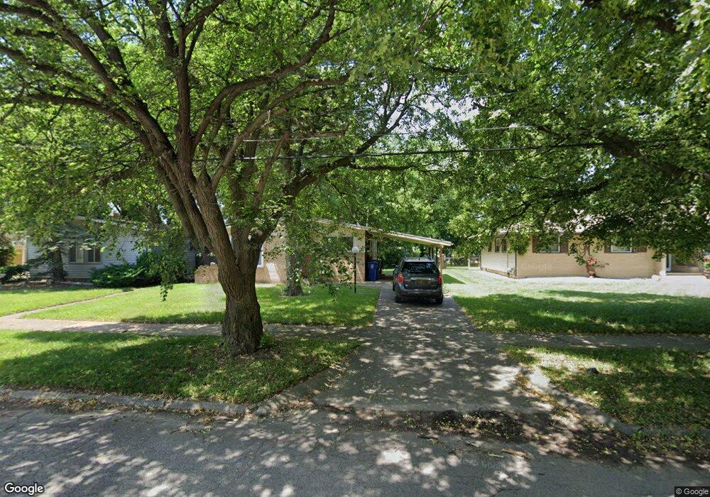
1926 Whittlesey St Flint, MI 48503
South Parks NeighborhoodEstimated Value: $65,000 - $74,000
3
Beds
1
Bath
972
Sq Ft
$72/Sq Ft
Est. Value
About This Home
This home is located at 1926 Whittlesey St, Flint, MI 48503 and is currently estimated at $69,895, approximately $71 per square foot. 1926 Whittlesey St is a home located in Genesee County with nearby schools including Freeman Elementary School, Flint Southwestern Classical Academy, and International Academy of Flint (K-12).
Ownership History
Date
Name
Owned For
Owner Type
Purchase Details
Closed on
Mar 14, 2017
Sold by
Stair Philip G
Bought by
Mccree Jordan Daniel
Current Estimated Value
Purchase Details
Closed on
Feb 11, 2014
Sold by
The Genesee County Land Bank Authority
Bought by
Mccree Jordan Daniel
Purchase Details
Closed on
Dec 20, 2013
Sold by
Genesee County Treasurer
Bought by
Genesee County Land Bank
Purchase Details
Closed on
Feb 8, 2010
Sold by
Mccree Cynthia
Bought by
Mccree Jordan D
Create a Home Valuation Report for This Property
The Home Valuation Report is an in-depth analysis detailing your home's value as well as a comparison with similar homes in the area
Home Values in the Area
Average Home Value in this Area
Purchase History
| Date | Buyer | Sale Price | Title Company |
|---|---|---|---|
| Mccree Jordan Daniel | -- | None Available | |
| Mccree Jordan Daniel | $5,000 | None Available | |
| Genesee County Land Bank | -- | None Available | |
| Mccree Jordan D | -- | None Available |
Source: Public Records
Mortgage History
| Date | Status | Borrower | Loan Amount |
|---|---|---|---|
| Closed | Mccree Jordan Daniel | $0 |
Source: Public Records
Tax History Compared to Growth
Tax History
| Year | Tax Paid | Tax Assessment Tax Assessment Total Assessment is a certain percentage of the fair market value that is determined by local assessors to be the total taxable value of land and additions on the property. | Land | Improvement |
|---|---|---|---|---|
| 2025 | $815 | $28,900 | $0 | $0 |
| 2024 | $744 | $25,200 | $0 | $0 |
| 2023 | $735 | $21,400 | $0 | $0 |
| 2022 | $0 | $19,200 | $0 | $0 |
| 2021 | $760 | $16,300 | $0 | $0 |
| 2020 | $691 | $13,000 | $0 | $0 |
| 2019 | $677 | $12,100 | $0 | $0 |
| 2018 | $664 | $11,100 | $0 | $0 |
| 2017 | $647 | $0 | $0 | $0 |
| 2016 | $643 | $0 | $0 | $0 |
| 2015 | -- | $0 | $0 | $0 |
| 2014 | -- | $0 | $0 | $0 |
| 2012 | -- | $10,400 | $0 | $0 |
Source: Public Records
Map
Nearby Homes
- 1917 Whittlesey St
- 1937 Chelan St
- 1601 Wayne St
- 1840 Mcphail St
- 9211 Owen St
- 2029 Aitken Ave
- 1110 Pingree Ave
- 2618 Pinetree Dr
- 2010 Crocker Ave
- 2221 Howard Ave
- 2224 Crocker Ave
- 1510 S Franklin Ave
- 2121 Dwight Ave
- 1409 S Franklin Ave
- 1925 Gilmartin St
- 1940 Tebo St
- 2050 Ferris Ave
- 3373 Kent St
- 1856 Tebo St
- 2313 Brookside Dr
- 1920 Whittlesey St
- 1925 Barks St
- 1934 Whittlesey St
- 1913 Barks St
- 1921 Barks St
- 1914 Whittlesey St
- 1933 Barks St
- 1929 Barks St
- 1925 Whittlesey St
- 1929 Whittlesey St
- 1801 Pingree Ave
- 1910 Whittlesey St
- 1933 Whittlesey St
- 1909 Barks St
- 1901 Pingree Ave
- 1913 Whittlesey St
- 1906 Whittlesey St
- 1816 Pingree Ave
- 1909 Whittlesey St
- 1905 Barks St