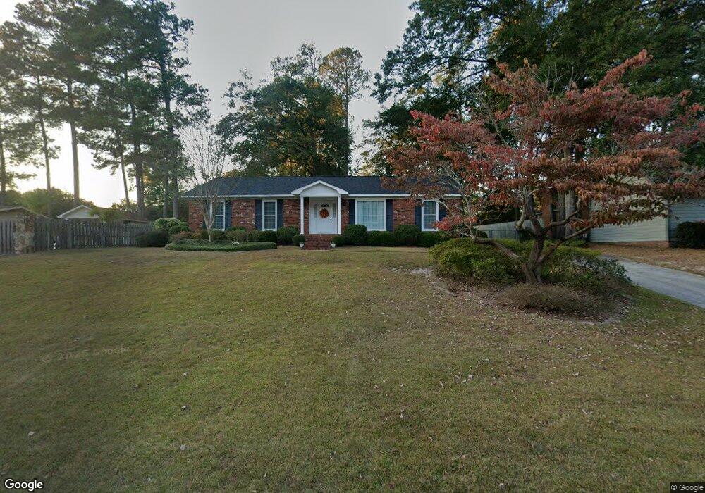
1927 Bolin Rd North Augusta, SC 29841
Estimated Value: $235,710 - $344,000
Studio
3
Baths
1,944
Sq Ft
$156/Sq Ft
Est. Value
About This Home
This home is located at 1927 Bolin Rd, North Augusta, SC 29841 and is currently estimated at $304,178, approximately $156 per square foot. 1927 Bolin Rd is a home located in Aiken County with nearby schools including Hammond Hill Elementary School, Paul Knox Middle School, and North Augusta High School.
Ownership History
Date
Name
Owned For
Owner Type
Purchase Details
Closed on
Jan 20, 2023
Sold by
Young Robin H
Bought by
Young Joint Revocable Trust
Current Estimated Value
Create a Home Valuation Report for This Property
The Home Valuation Report is an in-depth analysis detailing your home's value as well as a comparison with similar homes in the area
Purchase History
| Date | Buyer | Sale Price | Title Company |
|---|---|---|---|
| Young Joint Revocable Trust | -- | None Listed On Document |
Source: Public Records
Tax History
| Year | Tax Paid | Tax Assessment Tax Assessment Total Assessment is a certain percentage of the fair market value that is determined by local assessors to be the total taxable value of land and additions on the property. | Land | Improvement |
|---|---|---|---|---|
| 2025 | $506 | $7,050 | -- | -- |
| 2023 | $507 | $7,040 | $1,626 | $139,930 |
| 2022 | $688 | $7,040 | $0 | $0 |
| 2021 | $689 | $7,040 | $0 | $0 |
| 2020 | $608 | $6,130 | $0 | $0 |
| 2019 | $608 | $6,130 | $0 | $0 |
| 2018 | $609 | $6,130 | $1,200 | $4,930 |
| 2017 | $579 | $0 | $0 | $0 |
| 2016 | $579 | $0 | $0 | $0 |
| 2015 | $592 | $0 | $0 | $0 |
| 2014 | $593 | $0 | $0 | $0 |
| 2013 | -- | $0 | $0 | $0 |
Source: Public Records
Map
Nearby Homes
- 1815 Mountside Dr
- 1818 Mountside Dr
- 1926 Robin Rd
- 639 Caroline Ct Unit 7c
- 633 Caroline Ct Unit 7b
- 623 Caroline Ct Unit 8d
- 617 Caroline Ct Unit 8c
- 613 Caroline Ct Unit 8b
- 611 Caroline Ct Unit 8a
- 4027 Jane Ln Unit 10B
- 1836 Mountside Dr
- 5250 Anna Creek Way Unit Fb95
- 5236 Anna Creek Way Unit Fb96
- 5228 Anna Creek Way Unit Fb97
- 201 Cadada Ct
- 5065 Anna Creek Way Unit FB25
- 817 Bobbye Dr Unit Fb77
- 5085 Anna Creek Way Unit FB28
- 5145 Anna Creek Way Unit Fb32
- 5093 Anna Creek Way
- 1925 Bolin Rd
- 1836 Robinson Dr
- 1834 Robinson Dr
- 1807 Mountside Dr
- 1923 Bolin Rd
- 1832 Robinson Dr
- 1805 Mountside Dr
- 1928 Bolin Rd
- 1926 Bolin Rd
- 1809 Mountside Dr
- 1921 Bolin Rd
- 1930 Bolin Rd
- 1830 Robinson Dr
- 1924 Bolin Rd
- 1835 Robinson Dr
- 1932 Bolin Rd
- 1833 Robinson Dr
- 1922 Bolin Rd
- 1919 Bolin Rd
- 1811 Mountside Dr
Your Personal Tour Guide
Ask me questions while you tour the home.