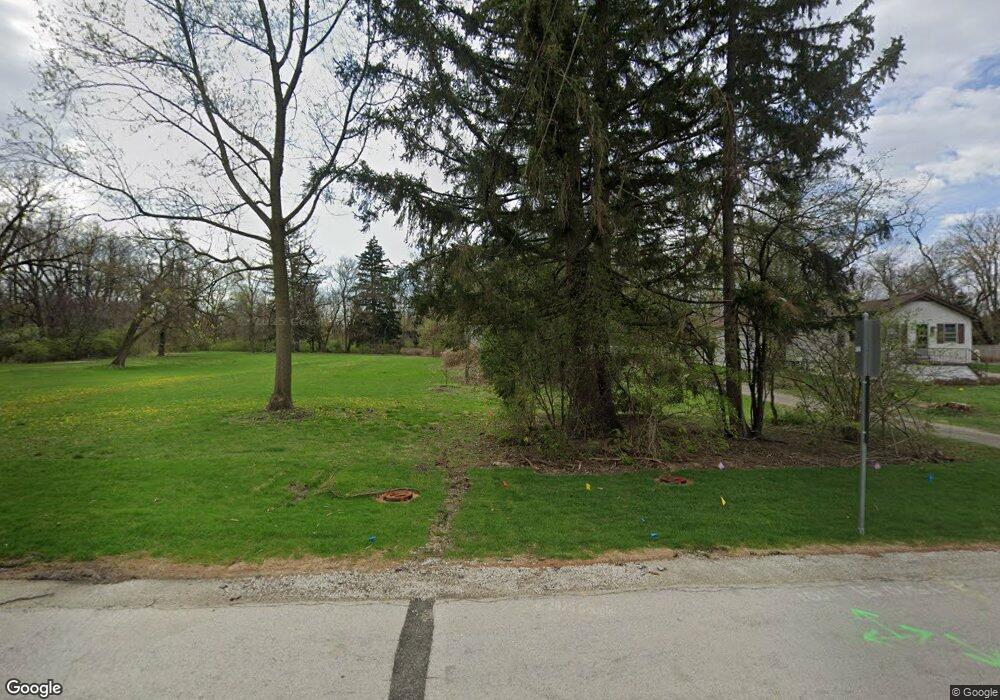
1927 Curtiss St Downers Grove, IL 60515
Estimated Value: $332,059 - $422,000
--
Bed
--
Bath
1,275
Sq Ft
$294/Sq Ft
Est. Value
About This Home
This home is located at 1927 Curtiss St, Downers Grove, IL 60515 and is currently estimated at $374,765, approximately $293 per square foot. 1927 Curtiss St is a home located in DuPage County with nearby schools including Henry Puffer School, Herrick Middle School, and Downer Grove North High School.
Ownership History
Date
Name
Owned For
Owner Type
Purchase Details
Closed on
Jan 22, 1999
Sold by
Huggins Suzette M
Bought by
Dunlosky David P and Dunlosky Linda D
Current Estimated Value
Home Financials for this Owner
Home Financials are based on the most recent Mortgage that was taken out on this home.
Original Mortgage
$120,150
Outstanding Balance
$28,252
Interest Rate
6.92%
Estimated Equity
$346,513
Create a Home Valuation Report for This Property
The Home Valuation Report is an in-depth analysis detailing your home's value as well as a comparison with similar homes in the area
Home Values in the Area
Average Home Value in this Area
Purchase History
| Date | Buyer | Sale Price | Title Company |
|---|---|---|---|
| Dunlosky David P | $133,500 | -- |
Source: Public Records
Mortgage History
| Date | Status | Borrower | Loan Amount |
|---|---|---|---|
| Open | Dunlosky David P | $120,150 |
Source: Public Records
Tax History Compared to Growth
Tax History
| Year | Tax Paid | Tax Assessment Tax Assessment Total Assessment is a certain percentage of the fair market value that is determined by local assessors to be the total taxable value of land and additions on the property. | Land | Improvement |
|---|---|---|---|---|
| 2024 | $3,981 | $98,481 | $58,817 | $39,664 |
| 2023 | $4,145 | $89,880 | $53,680 | $36,200 |
| 2022 | $4,685 | $85,600 | $51,120 | $34,480 |
| 2021 | $4,265 | $82,370 | $49,190 | $33,180 |
| 2020 | $4,193 | $80,890 | $48,310 | $32,580 |
| 2019 | $4,045 | $77,390 | $46,220 | $31,170 |
| 2018 | $3,818 | $72,430 | $43,260 | $29,170 |
| 2017 | $3,708 | $69,990 | $41,800 | $28,190 |
| 2016 | $3,665 | $67,460 | $40,290 | $27,170 |
| 2015 | $3,618 | $63,530 | $37,940 | $25,590 |
| 2014 | $3,579 | $61,230 | $36,570 | $24,660 |
| 2013 | $3,533 | $61,380 | $36,660 | $24,720 |
Source: Public Records
Map
Nearby Homes
- 4947 Stonewall Ave
- 4940 Cornell Ave
- 5454 Lee Ave
- 2160 Howard Ave
- 4939 Lee Ave
- 5509 Aspen Ave Unit 6
- 5431 Ashbrook Place Unit 8
- 1903 Maple Ave
- 5434 Ashbrook Place
- 2335 Old George Way Unit 2335
- 5538 Durand Dr
- 5727 Woodward Ave
- 5622 Belmont Rd
- 4832 Seeley Ave
- 4601 Wilson Ave
- 5760 Woodward Ave
- 5616 Durand Dr Unit 6D
- 1360 Turvey Rd
- 5617 Durand Dr Unit 9A
- 4941 Montgomery Ave
- 1929 Curtiss St
- 1933 Curtiss St
- 1921 Curtiss St
- 1926 Curtiss St
- 1924 Curtiss St
- 1935 Curtiss St
- 1928 Curtiss St
- 1922B Curtiss St
- 1919 Curtiss St
- 1937 Curtiss St
- 1922 Curtiss St
- 1922 Curtiss St
- 1922 Curtiss St Unit A
- 1922 Curtiss St
- 1922 Curtiss St
- 1934 Curtiss St
- 1939 Curtiss St
- 1917 Curtiss St
- 1917 Curtiss St Unit A
- 1936 Curtiss St
