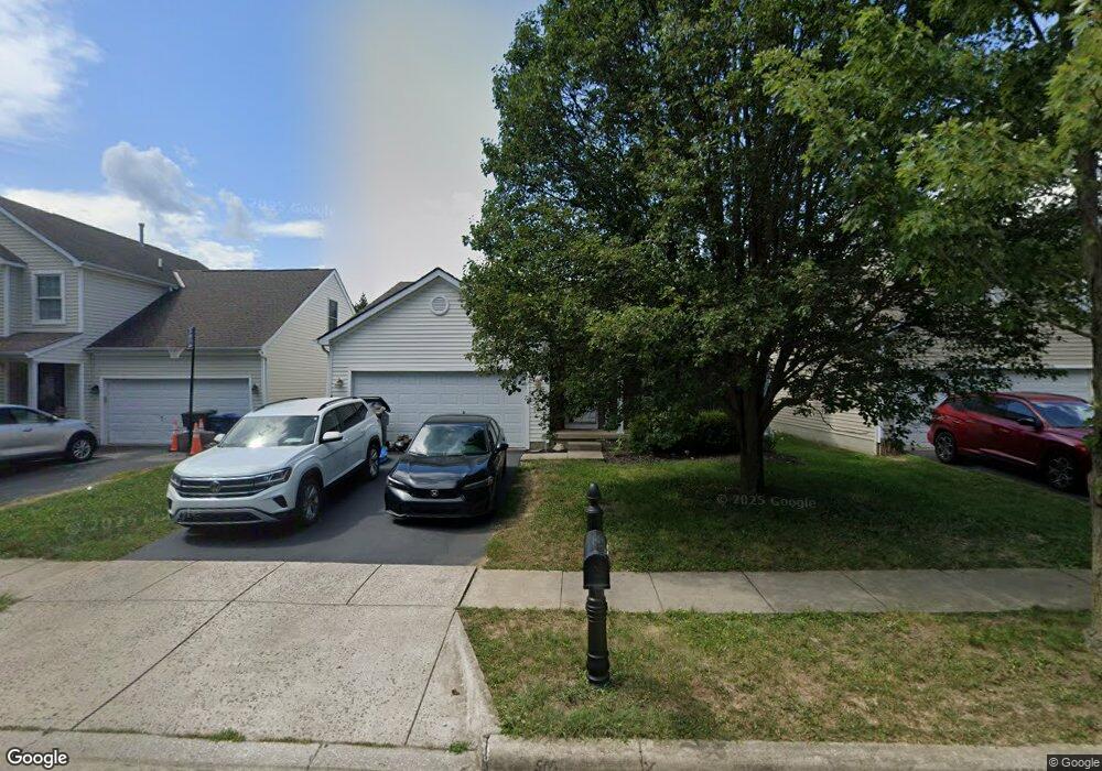
1927 Fortstone Ln Unit 1927 Columbus, OH 43228
Estimated Value: $131,000 - $200,000
2
Beds
2
Baths
1,260
Sq Ft
$138/Sq Ft
Est. Value
About This Home
This home is located at 1927 Fortstone Ln Unit 1927, Columbus, OH 43228 and is currently estimated at $174,108, approximately $138 per square foot. 1927 Fortstone Ln Unit 1927 is a home located in Franklin County with nearby schools including Bolton Crossing Elementary School, Holt Crossing Intermediate School, and Pleasant View Middle School.
Ownership History
Date
Name
Owned For
Owner Type
Purchase Details
Closed on
Oct 14, 2015
Sold by
Hfeldman Keith H and Neal Ginger L
Bought by
H & O Properties Llc
Current Estimated Value
Purchase Details
Closed on
Jul 25, 2008
Sold by
Kerr Kevin P and Kerr Stephanie
Bought by
Feldman Keith Hadley and Neal Ginger L
Home Financials for this Owner
Home Financials are based on the most recent Mortgage that was taken out on this home.
Original Mortgage
$91,248
Interest Rate
6.5%
Mortgage Type
FHA
Purchase Details
Closed on
Nov 14, 2003
Sold by
Scioto Land Development Llc
Bought by
Kerr Kevin P
Home Financials for this Owner
Home Financials are based on the most recent Mortgage that was taken out on this home.
Original Mortgage
$102,950
Interest Rate
6.01%
Mortgage Type
FHA
Create a Home Valuation Report for This Property
The Home Valuation Report is an in-depth analysis detailing your home's value as well as a comparison with similar homes in the area
Home Values in the Area
Average Home Value in this Area
Purchase History
| Date | Buyer | Sale Price | Title Company |
|---|---|---|---|
| H & O Properties Llc | $40,000 | Attorney | |
| Feldman Keith Hadley | $92,000 | Chicago Tit | |
| Kerr Kevin P | $113,500 | Stewart Title Agency Of Colu |
Source: Public Records
Mortgage History
| Date | Status | Borrower | Loan Amount |
|---|---|---|---|
| Previous Owner | Feldman Keith Hadley | $91,248 | |
| Previous Owner | Kerr Kevin P | $102,950 |
Source: Public Records
Tax History Compared to Growth
Tax History
| Year | Tax Paid | Tax Assessment Tax Assessment Total Assessment is a certain percentage of the fair market value that is determined by local assessors to be the total taxable value of land and additions on the property. | Land | Improvement |
|---|---|---|---|---|
| 2024 | $1,741 | $46,550 | $10,500 | $36,050 |
| 2023 | $1,917 | $52,150 | $10,500 | $41,650 |
| 2022 | $1,779 | $35,530 | $5,390 | $30,140 |
| 2021 | $1,815 | $35,530 | $5,390 | $30,140 |
| 2020 | $1,806 | $35,530 | $5,390 | $30,140 |
| 2019 | $1,462 | $25,380 | $3,850 | $21,530 |
| 2018 | $728 | $25,380 | $3,850 | $21,530 |
| 2017 | $1,652 | $25,380 | $3,850 | $21,530 |
| 2016 | $1,854 | $29,790 | $4,480 | $25,310 |
| 2015 | $1,802 | $29,790 | $4,480 | $25,310 |
| 2014 | $1,804 | $29,790 | $4,480 | $25,310 |
| 2013 | $994 | $33,075 | $4,970 | $28,105 |
Source: Public Records
Map
Nearby Homes
- 1925 Fortstone Ln Unit 1925
- 1870 Berrancher Dr Unit 1870
- 4686 Parrau Dr Unit 64A
- 4666 Shalers Dr Unit 49C
- 1800 Georgesville Square Dr
- 4650 Parrau Dr Unit 67E
- 3045 Alkire Rd
- 1865 Bashan Dr Unit 78E
- 1842 Bashan Dr Unit 75F
- 1599 Covina Dr
- 4655 Parkwick Dr
- 2209 Owl St
- 4419 Hammerton Dr Unit 13D
- 4483 White Leaf Way
- 4462 Alameda Dr
- 2360 Bloxom St
- 4253 Demorest Cove Ct
- 2445 Linbaugh Rd
- 4459 Amwood St
- 4482 Amwood St
- 1923 Fortstone Ln Unit 1923
- 1937 Fortstone Ln
- 1929 Fortstone Ln Unit 1929
- 1939 Fortstone Ln Unit 1939
- 1939 Fortstone Ln
- 1933 Fortstone Ln Unit 1933
- 1933 Fortstone Ln
- 1935 Fortstone Ln Unit 1935
- 1935 Fortstone Ln Unit BLDG 8 1935
- 1945 Fortstone Ln Unit 1945
- 1955 Fortstone Ln
- 1943 Fortstone Ln
- 1945 Fortstone Ln
- 1945 Fortstone Ln Unit 8
- 1953 Fortstone Ln
- 1947 Fortstone Ln Unit 1947
- 1957 Fortstone Ln
- 1957 Fortstone Ln
- 1947 Fortstone Ln Unit B
- 1949 Fortstone Ln Unit 1949