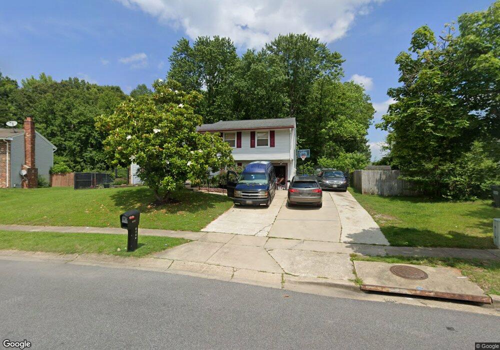
1927 Michael Rd Waldorf, MD 20601
Estimated Value: $338,348 - $411,000
Studio
2
Baths
1,248
Sq Ft
$305/Sq Ft
Est. Value
About This Home
This home is located at 1927 Michael Rd, Waldorf, MD 20601 and is currently estimated at $380,087, approximately $304 per square foot. 1927 Michael Rd is a home located in Charles County with nearby schools including J.P. Ryon Elementary School, John Hanson Middle School, and Thomas Stone High School.
Ownership History
Date
Name
Owned For
Owner Type
Purchase Details
Closed on
Jun 29, 1989
Sold by
Cushenette Peter P
Bought by
Scales Denice F
Current Estimated Value
Home Financials for this Owner
Home Financials are based on the most recent Mortgage that was taken out on this home.
Original Mortgage
$107,900
Interest Rate
10.19%
Create a Home Valuation Report for This Property
The Home Valuation Report is an in-depth analysis detailing your home's value as well as a comparison with similar homes in the area
Home Values in the Area
Average Home Value in this Area
Purchase History
| Date | Buyer | Sale Price | Title Company |
|---|---|---|---|
| Scales Denice F | $119,900 | -- |
Source: Public Records
Mortgage History
| Date | Status | Borrower | Loan Amount |
|---|---|---|---|
| Closed | Scales Denice F | $107,900 |
Source: Public Records
Tax History
| Year | Tax Paid | Tax Assessment Tax Assessment Total Assessment is a certain percentage of the fair market value that is determined by local assessors to be the total taxable value of land and additions on the property. | Land | Improvement |
|---|---|---|---|---|
| 2025 | $9,974 | $324,767 | -- | -- |
| 2024 | $4,255 | $298,633 | $0 | $0 |
| 2023 | $3,894 | $272,500 | $84,800 | $187,700 |
| 2022 | $3,690 | $259,833 | $0 | $0 |
| 2021 | $3,311 | $247,167 | $0 | $0 |
| 2020 | $3,311 | $234,500 | $84,800 | $149,700 |
| 2019 | $3,225 | $229,167 | $0 | $0 |
| 2018 | $3,115 | $223,833 | $0 | $0 |
| 2017 | $3,037 | $218,500 | $0 | $0 |
| 2016 | -- | $214,867 | $0 | $0 |
| 2015 | $3,100 | $211,233 | $0 | $0 |
| 2014 | $3,100 | $207,600 | $0 | $0 |
Source: Public Records
Map
Nearby Homes
- 2730 Pinewood Dr
- 0 Pinewood Dr
- 2709 Pinewood Dr
- 2703 Pinewood Dr
- 1616 Debra Dr
- 5932 Michael Rd
- 5014 Nicholas Rd
- 2300 Hawks Landing Ct
- 2769 Pinewood Dr
- 1305 Harwich Dr
- 3109 Tudor Rd
- 3448 Williamsburg Dr
- 8021 Holly Ave
- 3203 Pinefield Cir
- 2650 Pinewood Dr
- 3502 Lisa Ln
- 919 Truro Ln
- 2511 Lisa Dr
- 2525 Green Pine Ct
- 2217 Pinefield Way
- 1925 Michael Rd
- 2731 Pinewood Dr
- 1929 Michael Rd
- 1920 Michael Rd
- 1923 Michael Rd
- 2733 Pinewood Dr
- 1922 Michael Rd
- 1921 Michael Rd
- 2735 Pinewood Dr
- 2727 Pinewood Dr
- 5901 Michael Rd
- 2737 Pinewood Dr
- 1919 Michael Rd
- 2732 Pinewood Dr
- 2724 Pinewood Dr
- 1916 Michael Rd
- 2725 Pinewood Dr
- 2734 Pinewood Dr
- 2141 Cedar Tree Ln
- 2137 Cedar Tree Ln
Your Personal Tour Guide
Ask me questions while you tour the home.