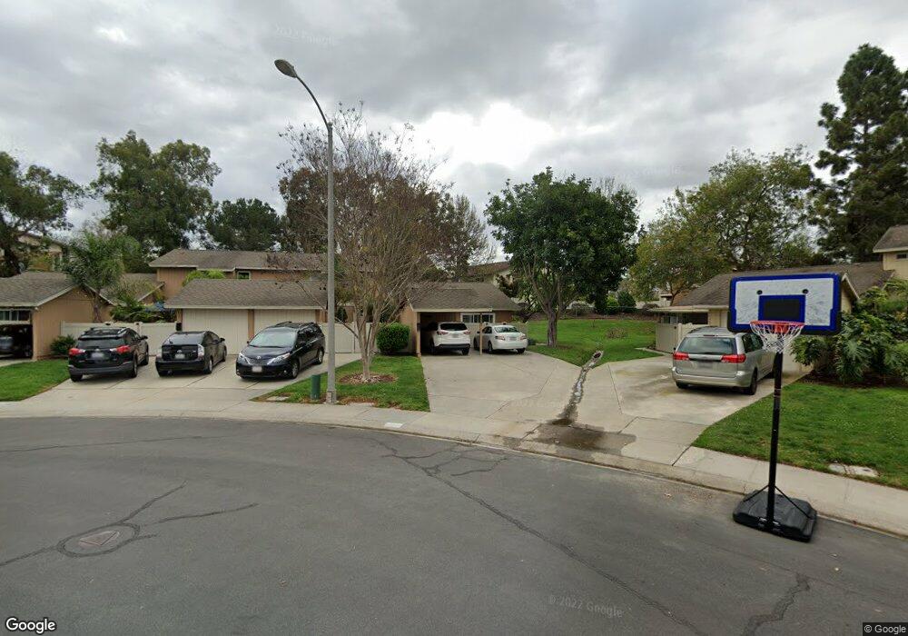
1927 Misty Cir Encinitas, CA 92024
Central Encinitas NeighborhoodEstimated Value: $876,400 - $967,000
3
Beds
2
Baths
1,014
Sq Ft
$900/Sq Ft
Est. Value
About This Home
This home is located at 1927 Misty Cir, Encinitas, CA 92024 and is currently estimated at $912,850, approximately $900 per square foot. 1927 Misty Cir is a home located in San Diego County with nearby schools including Park Dale Lane Elementary, Diegueno Middle School, and La Costa Canyon High School.
Ownership History
Date
Name
Owned For
Owner Type
Purchase Details
Closed on
Jul 13, 2016
Sold by
Chang Helena
Bought by
Chang Robert Kokyung
Current Estimated Value
Purchase Details
Closed on
Jul 1, 2016
Sold by
Chang Robert Kokyung
Bought by
Chang Robert Kokyung
Purchase Details
Closed on
Aug 17, 1994
Sold by
Chang John and Chang Helena
Bought by
Chang John and Chang Helena
Purchase Details
Closed on
Jul 12, 1983
Create a Home Valuation Report for This Property
The Home Valuation Report is an in-depth analysis detailing your home's value as well as a comparison with similar homes in the area
Home Values in the Area
Average Home Value in this Area
Purchase History
We collect this data history from publicly available records. To have your information removed, we recommend requesting removal directly through your county’s website.
| Date | Buyer | Sale Price | Title Company |
|---|---|---|---|
| Chang Robert Kokyung | -- | None Available | |
| Chang Robert Kokyung | -- | None Available | |
| Chang Helena | -- | None Available | |
| Chang John | -- | -- | |
| -- | $82,000 | -- |
Source: Public Records
Tax History
| Year | Tax Paid | Tax Assessment Tax Assessment Total Assessment is a certain percentage of the fair market value that is determined by local assessors to be the total taxable value of land and additions on the property. | Land | Improvement |
|---|---|---|---|---|
| 2025 | $2,555 | $183,780 | $55,268 | $128,512 |
| 2024 | $2,555 | $180,178 | $54,185 | $125,993 |
| 2023 | $2,450 | $176,646 | $53,123 | $123,523 |
| 2022 | $2,369 | $173,183 | $52,082 | $121,101 |
| 2021 | $2,306 | $169,788 | $51,061 | $118,727 |
| 2020 | $2,249 | $168,048 | $50,538 | $117,510 |
| 2019 | $2,211 | $164,754 | $49,548 | $115,206 |
| 2018 | $2,184 | $161,525 | $48,577 | $112,948 |
| 2017 | $2,152 | $158,359 | $47,625 | $110,734 |
| 2016 | $2,096 | $155,255 | $46,692 | $108,563 |
| 2015 | $2,041 | $152,924 | $45,991 | $106,933 |
| 2014 | $1,979 | $149,930 | $45,091 | $104,839 |
Source: Public Records
Map
Nearby Homes
- 1824 Eastwood Ln
- 420 Glen Arbor Dr
- 1971 Azure Way
- 2020 Coolngreen Ln
- 140 Five Crowns Way
- 516 Whisper Wind Dr
- 1744 Village Run N
- 1759 Edgefield Ln
- 1774 Edgefield Ln Unit 42
- 1133 & 1135 Gardena Rd
- 1104 & 1106 Gardena Rd
- 772 Conestoga Ct
- 3736 38 Via Rancho Michelle
- 250 258 Hillcrest Dr
- 1730 Pleasantdale Dr
- 1652 Clearwater Place
- 1766 Hill Top Ln
- 1872 Forestdale Dr Unit 84
- 441 Rancho Santa fe Rd
- 2334 Summerhill Dr
- 1929 Misty Cir
- 1923 Misty Cir
- 1931 Misty Cir
- 1933 Misty Cir
- 1921 Misty Cir
- 1919 Misty Cir
- 1935 Misty Cir
- 2004 Countryhaven Ct
- 1917 Misty Cir
- 1937 Misty Cir
- 1939 Misty Cir
- 2008 Countryhaven Ct Unit 89
- 2013 Countryhaven Ct
- 2004 Shadytree Ln
- 1911 Misty Cir
- 1941 Misty Cir
- 2006 Shadytree Ln
- 1943 Misty Cir
- 2011 Countryhaven Ct
- 2015 Countryhaven Ct
Your Personal Tour Guide
Ask me questions while you tour the home.