1927 Number 10 Rd New Columbia, PA 17856
Estimated Value: $374,000 - $499,000
3
Beds
3
Baths
2,548
Sq Ft
$171/Sq Ft
Est. Value
About This Home
This home is located at 1927 Number 10 Rd, New Columbia, PA 17856 and is currently estimated at $436,065, approximately $171 per square foot. 1927 Number 10 Rd is a home located in Union County with nearby schools including Milton High School.
Ownership History
Date
Name
Owned For
Owner Type
Purchase Details
Closed on
Nov 7, 2014
Sold by
Lahr Jerry L and Lahr Teresa A
Bought by
Lover Jeffrey T and Lover Tonya D
Current Estimated Value
Home Financials for this Owner
Home Financials are based on the most recent Mortgage that was taken out on this home.
Original Mortgage
$256,000
Outstanding Balance
$197,327
Interest Rate
4.17%
Mortgage Type
VA
Estimated Equity
$238,738
Purchase Details
Closed on
Dec 13, 2002
Sold by
Zimmerman Nick E
Bought by
Stamm Barbara L
Create a Home Valuation Report for This Property
The Home Valuation Report is an in-depth analysis detailing your home's value as well as a comparison with similar homes in the area
Home Values in the Area
Average Home Value in this Area
Purchase History
| Date | Buyer | Sale Price | Title Company |
|---|---|---|---|
| Lover Jeffrey T | $256,000 | None Available | |
| Stamm Barbara L | -- | None Available |
Source: Public Records
Mortgage History
| Date | Status | Borrower | Loan Amount |
|---|---|---|---|
| Open | Lover Jeffrey T | $256,000 |
Source: Public Records
Tax History Compared to Growth
Tax History
| Year | Tax Paid | Tax Assessment Tax Assessment Total Assessment is a certain percentage of the fair market value that is determined by local assessors to be the total taxable value of land and additions on the property. | Land | Improvement |
|---|---|---|---|---|
| 2025 | $4,100 | $182,300 | $25,000 | $157,300 |
| 2024 | $4,018 | $182,300 | $25,000 | $157,300 |
| 2023 | $4,160 | $182,300 | $25,000 | $157,300 |
| 2022 | $4,294 | $182,300 | $25,000 | $157,300 |
| 2021 | $4,228 | $182,300 | $25,000 | $157,300 |
| 2020 | $4,149 | $182,300 | $25,000 | $157,300 |
| 2019 | $4,076 | $182,300 | $25,000 | $157,300 |
| 2018 | $3,852 | $182,300 | $25,000 | $157,300 |
| 2017 | $3,681 | $182,300 | $25,000 | $157,300 |
| 2016 | $3,311 | $182,300 | $25,000 | $157,300 |
| 2015 | -- | $182,300 | $25,000 | $157,300 |
| 2014 | -- | $149,300 | $25,000 | $124,300 |
Source: Public Records
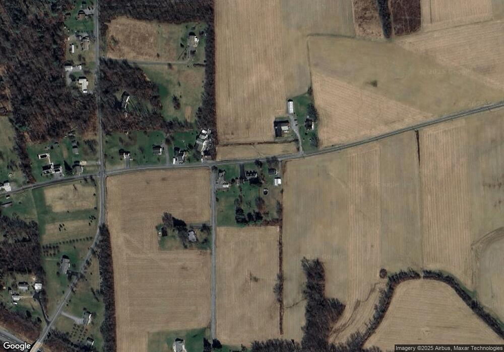
Map
Nearby Homes
- 1822 White Deer Pike
- 0 Fornwalt Ln Unit 20-100886
- 2590 New Columbia Rd
- 15429 U S 15
- 142 Ridge Rd
- 536 Dyer Rd
- 397 N Hill Rd
- 813 Elm St
- 0 Us Route 15 Hwy
- 5 W 7th St
- 818 Main St Unit 820
- 538 Dyer Rd
- 21 Main St
- 115 E 4th St
- 215 E 8th St
- 159 Grandview Dr
- 452 Main St
- 10491 River Rd
- 246 Bridge Ave
- 243 Main St
- 1903 Number 10 Rd
- 1961 Number 10 Rd
- 2002 Number 10 Rd
- 191 Yonkin Rd
- 80 Buck Rd
- 2052 Number 10 Rd
- 2076 Number 10 Rd
- 1356 Gray Hill Rd
- 1308 Gray Hill Rd
- 1221 Gray Hill Rd
- 1315 Gray Hill Rd
- 1400 Gray Hill Rd
- 1111 Gray Hill Rd
- 2148 Number 10 Rd
- 223 Buck Rd
- 1056 Gray Hill Rd
- 1357 Gray Hill Rd
- 1406 Gray Hill Rd
- 1389 Gray Hill Rd
- 281 Buck Rd