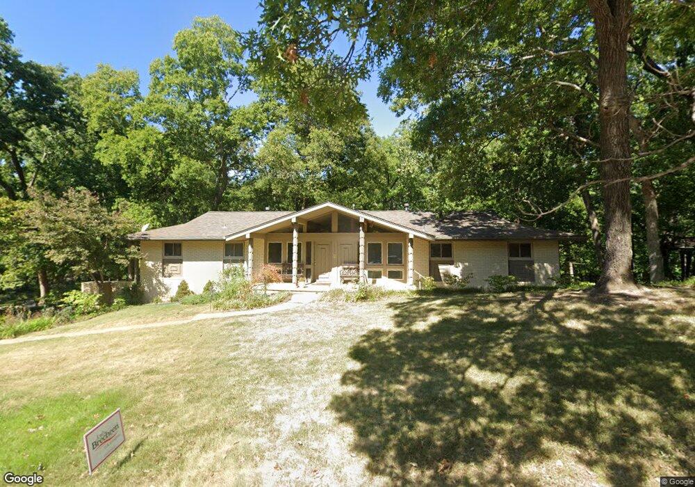
1927 Polaris Dr Bartlesville, OK 74006
Estimated Value: $263,819 - $316,000
4
Beds
4
Baths
2,001
Sq Ft
$145/Sq Ft
Est. Value
About This Home
This home is located at 1927 Polaris Dr, Bartlesville, OK 74006 and is currently estimated at $289,205, approximately $144 per square foot. 1927 Polaris Dr is a home located in Washington County with nearby schools including Wayside Elementary School, Central Middle School, and Bartlesville High School.
Ownership History
Date
Name
Owned For
Owner Type
Purchase Details
Closed on
Nov 16, 2010
Sold by
Thompson Randall S and Thompson Sherry L
Bought by
Thompson Randall Scott and Thompson Sherry Lovell
Current Estimated Value
Purchase Details
Closed on
Mar 31, 2005
Sold by
Oklahoma Wesleyan Universioty
Bought by
Thompson Randall S and Thompson Sherry L
Home Financials for this Owner
Home Financials are based on the most recent Mortgage that was taken out on this home.
Original Mortgage
$142,500
Interest Rate
5.71%
Mortgage Type
New Conventional
Purchase Details
Closed on
Dec 21, 2000
Sold by
Irvin Anna S Trust
Create a Home Valuation Report for This Property
The Home Valuation Report is an in-depth analysis detailing your home's value as well as a comparison with similar homes in the area
Home Values in the Area
Average Home Value in this Area
Purchase History
| Date | Buyer | Sale Price | Title Company |
|---|---|---|---|
| Thompson Randall Scott | -- | -- | |
| Thompson Randall S | $150,000 | None Available | |
| -- | -- | -- |
Source: Public Records
Mortgage History
| Date | Status | Borrower | Loan Amount |
|---|---|---|---|
| Closed | Thompson Randall S | $142,500 |
Source: Public Records
Tax History Compared to Growth
Tax History
| Year | Tax Paid | Tax Assessment Tax Assessment Total Assessment is a certain percentage of the fair market value that is determined by local assessors to be the total taxable value of land and additions on the property. | Land | Improvement |
|---|---|---|---|---|
| 2025 | $2,621 | $22,365 | $2,892 | $19,473 |
| 2024 | $2,621 | $22,826 | $2,892 | $19,934 |
| 2023 | $2,621 | $22,826 | $2,892 | $19,934 |
| 2022 | $2,584 | $22,826 | $2,892 | $19,934 |
| 2021 | $2,456 | $21,912 | $2,892 | $19,020 |
| 2020 | $2,434 | $21,273 | $2,892 | $18,381 |
| 2019 | $2,361 | $20,654 | $2,892 | $17,762 |
| 2018 | $2,277 | $20,052 | $2,892 | $17,160 |
| 2017 | $2,259 | $19,468 | $2,892 | $16,576 |
| 2016 | $2,055 | $18,901 | $3,037 | $15,864 |
| 2015 | $2,087 | $18,901 | $3,037 | $15,864 |
| 2014 | $2,080 | $18,901 | $3,037 | $15,864 |
Source: Public Records
Map
Nearby Homes
- 2136 Starlight Ct
- 2505 Glynnwood Dr
- 2501 Cherokee Hills Place
- 2909 SE Pheasant
- 3005 Talbot Cir
- 3006 Blake Cir
- 19 Silver Lake Rd
- 18 Silver Lake Rd
- 17 Silver Lake Rd
- 16 Silver Lake Rd
- 2613 Oakdale Dr
- 2500 Evergreen Dr
- 3201 Rushmore St
- 1 Blackstone Ct
- 2 Blackstone Ct
- 3202 Stonewall Dr
- 15 Starview Cir
- 8 Starview Cir
- 2015 Cypress Cir
- 2007 Cypress Cir
- 1921 Polaris Dr
- 1931 Polaris Dr
- 2003 Neptune Ct
- 1938 Polaris Dr
- 1935 Polaris Dr
- 2006 Neptune Ct
- 1911 Polaris Dr
- 2007 Neptune Ct
- 1912 Polaris Dr
- 1902 Skyline Place
- 1908 Skyline Place
- 2011 Neptune Ct
- 1812 Skyline Place
- 2100 Neptune Ct
- 1808 Skyline Place
- 2002 Skyline Place
- 2105 Neptune Ct
- 1800 Skyline Place
- 2008 Skyline Place
- 1901 Skyline Place