1927 S Glen Rd Shelby, MI 49455
Estimated Value: $1,090,779 - $1,096,000
--
Bed
--
Bath
--
Sq Ft
3.41
Acres
About This Home
This home is located at 1927 S Glen Rd, Shelby, MI 49455 and is currently estimated at $1,093,390. 1927 S Glen Rd is a home with nearby schools including Shelby High School.
Ownership History
Date
Name
Owned For
Owner Type
Purchase Details
Closed on
Jan 25, 2020
Sold by
Bull Vernon K
Bought by
Blackberry Ridge Shores Llc
Current Estimated Value
Purchase Details
Closed on
Oct 15, 2019
Sold by
Bull Vernon K
Bought by
Bull Vernon K
Purchase Details
Closed on
Jun 28, 2017
Sold by
Top Sierra Farms Llc
Bought by
Blackberry Ridge Shores Llc
Purchase Details
Closed on
May 3, 2005
Sold by
Bull Vernon K and The Vernon K Bull Trust
Bought by
Top Sierra Farms Llc
Purchase Details
Closed on
Aug 6, 1999
Sold by
Bull and Ott
Bought by
Bull and Ott
Purchase Details
Closed on
Sep 9, 1994
Create a Home Valuation Report for This Property
The Home Valuation Report is an in-depth analysis detailing your home's value as well as a comparison with similar homes in the area
Home Values in the Area
Average Home Value in this Area
Purchase History
| Date | Buyer | Sale Price | Title Company |
|---|---|---|---|
| Blackberry Ridge Shores Llc | -- | None Available | |
| Bull Vernon K | -- | None Available | |
| Blackberry Ridge Shores Llc | -- | Attorney | |
| Top Sierra Farms Llc | -- | -- | |
| Bull | $66,000 | -- | |
| -- | $265,000 | -- |
Source: Public Records
Tax History Compared to Growth
Tax History
| Year | Tax Paid | Tax Assessment Tax Assessment Total Assessment is a certain percentage of the fair market value that is determined by local assessors to be the total taxable value of land and additions on the property. | Land | Improvement |
|---|---|---|---|---|
| 2025 | $12,841 | $519,900 | $519,900 | $0 |
| 2024 | $3,173 | $517,400 | $517,400 | $0 |
| 2023 | $11,244 | $504,500 | $504,500 | $0 |
| 2022 | $10,753 | $450,400 | $0 | $0 |
| 2021 | $10,742 | $447,900 | $447,900 | $0 |
| 2020 | $10,133 | $446,400 | $446,400 | $0 |
| 2019 | $10,242 | $453,200 | $0 | $0 |
| 2018 | $19,900 | $446,700 | $0 | $0 |
| 2017 | $9,491 | $428,400 | $0 | $0 |
| 2016 | -- | $530,700 | $0 | $0 |
| 2013 | -- | $529,600 | $0 | $0 |
Source: Public Records
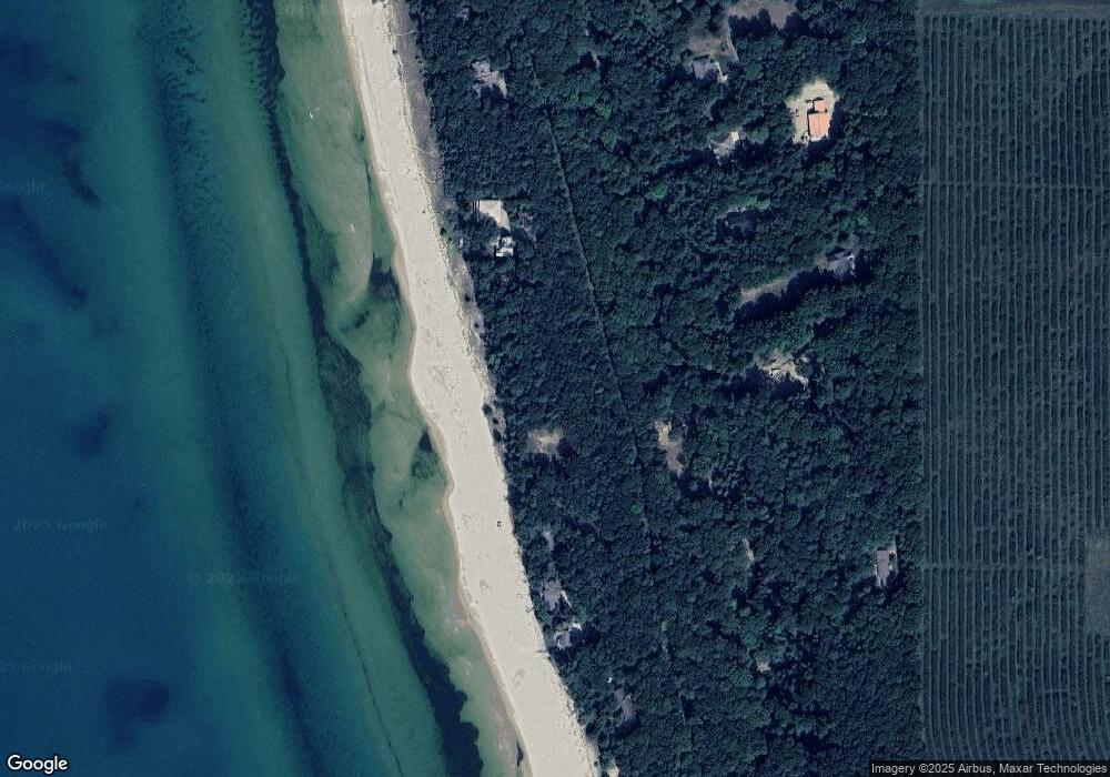
Map
Nearby Homes
- 1935 S Glen Rd
- Lot O Hemlock
- Lot N Hemlock Trail
- 0 Sable Point Dr Unit 286596
- 10445 W Woodrow Rd
- 2225 Apache Dr
- 10412 W Woodrow Rd
- Lot G Hemlock Trail
- 2087 S Glen Rd
- 0 Silver Lake Dr
- V/L W Woodrow Rd
- 2167 S 32nd Ave Unit Parcel B
- 2167 S 32nd Ave Unit Parcel A
- 62 N 14th Ave
- 0 S 32nd Ave
- 4069 Ottawa Trail
- 9415 Erie Trail
- 18 Acres 28th Ave
- 539 N Lighthouse Dr
- Parcel F-1 28th Ave
- 1833 S Glen Rd
- 1827 S Glen Rd
- 1832 S Sable Point Dr
- 1832 S Sable Point Dr
- 1832 S Sable Point Dr
- 1832 S Sable Point Dr
- 1823 S Glen Rd
- 1789 S Glen Rd
- Lot 15 S Sable Pointe Dr
- 15 S Sable Pointe Dr
- 1832 S Sable Dr
- 1777 S Sable Point Dr
- Lot 19 Sable Point Dr
- 1775 S Glen Rd
- 1763 S Sable Point Dr
- 1829 S Glen Rd
- 1745 S Glen Rd
- 1973 S Sable Point Dr
- 1735 S Glen Rd
- 1991 S Glen Rd