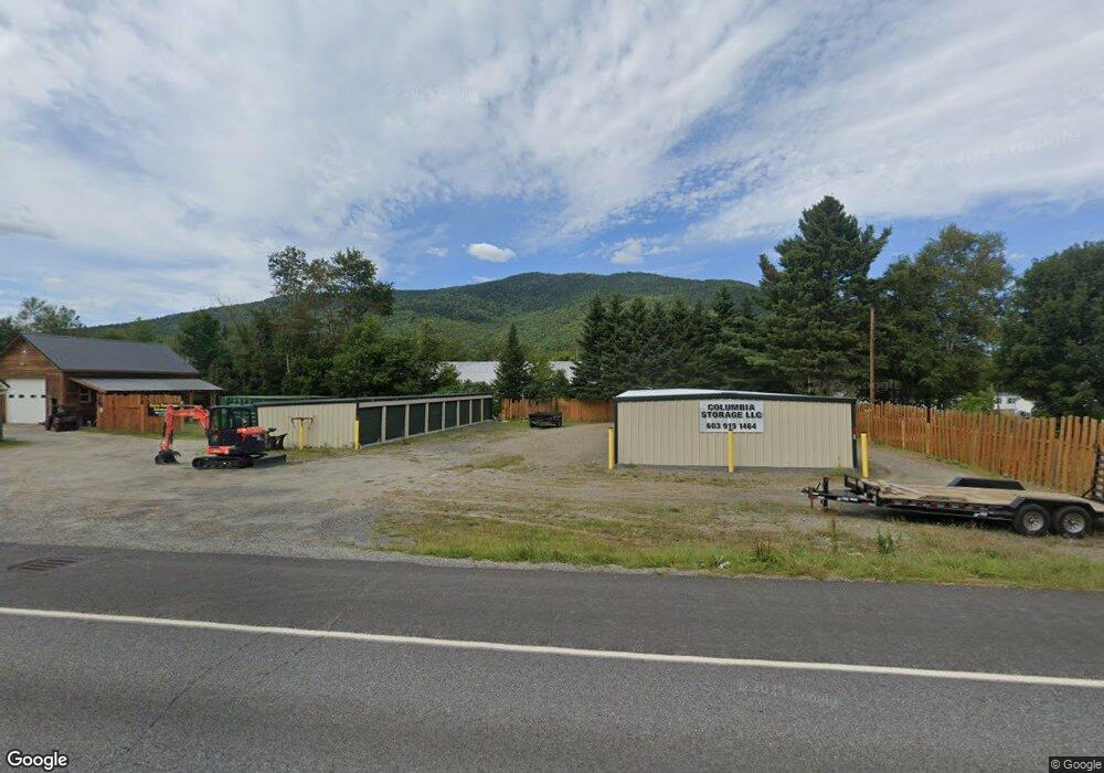
1927 Us Route 3 Colebrook, NH 03576
Estimated Value: $115,000 - $238,886
3
Beds
2
Baths
1,429
Sq Ft
$137/Sq Ft
Est. Value
About This Home
This home is located at 1927 Us Route 3, Colebrook, NH 03576 and is currently estimated at $195,962, approximately $137 per square foot. 1927 Us Route 3 is a home located in Coos County with nearby schools including Colebrook Elementary School, Colebrook Academy, and Camp E-Toh-Anee.
Ownership History
Date
Name
Owned For
Owner Type
Purchase Details
Closed on
Mar 8, 2022
Sold by
Corey E Rancloes Ret and Rancloes
Bought by
Columbia Storage Llc
Current Estimated Value
Purchase Details
Closed on
Mar 2, 2005
Sold by
Stanley Bradley B
Bought by
Rainville Armand W and Rainville Julie A
Home Financials for this Owner
Home Financials are based on the most recent Mortgage that was taken out on this home.
Original Mortgage
$75,150
Interest Rate
5.66%
Mortgage Type
Purchase Money Mortgage
Create a Home Valuation Report for This Property
The Home Valuation Report is an in-depth analysis detailing your home's value as well as a comparison with similar homes in the area
Purchase History
| Date | Buyer | Sale Price | Title Company |
|---|---|---|---|
| Columbia Storage Llc | -- | None Available | |
| Columbia Storage Llc | -- | None Available | |
| Rainville Armand W | $83,900 | -- | |
| Rainville Armand W | $83,900 | -- |
Source: Public Records
Mortgage History
| Date | Status | Borrower | Loan Amount |
|---|---|---|---|
| Previous Owner | Rainville Armand W | $75,150 |
Source: Public Records
Tax History
| Year | Tax Paid | Tax Assessment Tax Assessment Total Assessment is a certain percentage of the fair market value that is determined by local assessors to be the total taxable value of land and additions on the property. | Land | Improvement |
|---|---|---|---|---|
| 2025 | $1,715 | $79,000 | $9,700 | $69,300 |
| 2024 | $1,760 | $79,000 | $9,700 | $69,300 |
| 2023 | $163 | $9,700 | $9,700 | $0 |
| 2022 | $148 | $9,700 | $9,700 | $0 |
| 2020 | $1,051 | $65,400 | $9,700 | $55,700 |
| 2019 | $1,135 | $60,000 | $7,700 | $52,300 |
| 2018 | $1,048 | $60,000 | $7,700 | $52,300 |
| 2016 | $1,069 | $60,000 | $7,700 | $52,300 |
| 2015 | $1,195 | $60,000 | $7,700 | $52,300 |
| 2009 | $1,389 | $88,200 | $13,800 | $74,400 |
Source: Public Records
Map
Nearby Homes
- 1927 Us Route 3
- 1923 Us Route 3
- 1928 Us Route 3
- 1923 Us Route 3
- 1921 Us Route 3
- 34 Preston Ln
- 1921 Us Route 3
- 1922 Us Route 3
- 1940 Us Route 3
- 1940 Us Route 3
- 1926 Us Route 3
- 1920 U S 3
- 1958 Us Route 3
- 39 Sims Stream Rd
- 000 Sims Stream Rd
- 0 Sims Stream Rd
- 0 Sims Stream Rd Unit 56
- 52 Preston Ln
- 21 Preston Ln
- 25 Cockburne Ln
Your Personal Tour Guide
Ask me questions while you tour the home.