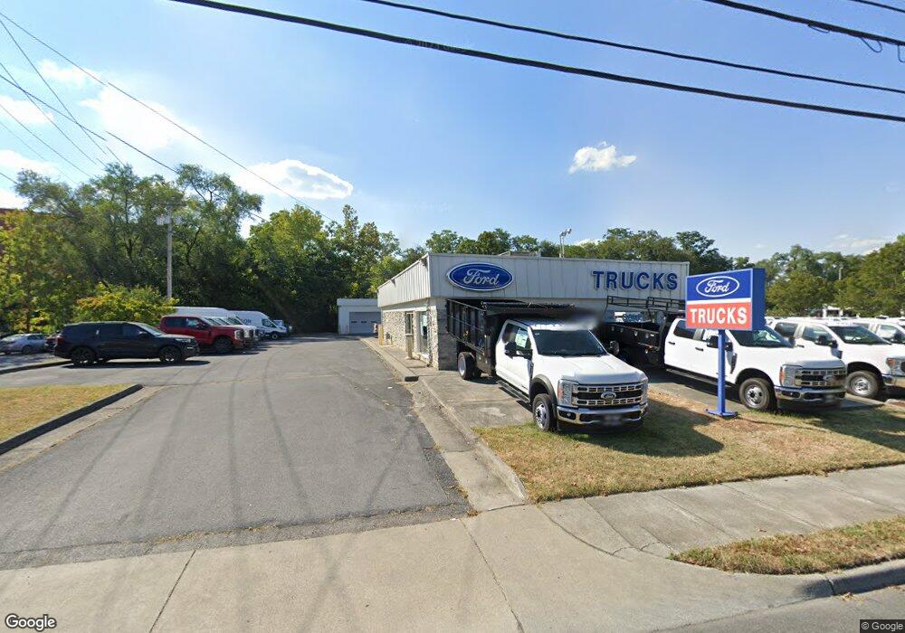
1927 Valley Ave Winchester, VA 22601
--
Bed
--
Bath
2,064
Sq Ft
2.36
Acres
About This Home
This home is located at 1927 Valley Ave, Winchester, VA 22601. 1927 Valley Ave is a home located in Winchester City with nearby schools including Garland R. Quarles Elementary School, Daniel Morgan Middle School, and John Handley High School.
Ownership History
Date
Name
Owned For
Owner Type
Purchase Details
Closed on
Apr 14, 2021
Sold by
Malloy Properties Iv Llc
Bought by
Malloy Properties Iv Llc
Purchase Details
Closed on
Nov 23, 2010
Sold by
Benham H K and Sloan Toni S
Bought by
Malloy Properties Iv
Home Financials for this Owner
Home Financials are based on the most recent Mortgage that was taken out on this home.
Original Mortgage
$6,350,000
Interest Rate
4.24%
Mortgage Type
Credit Line Revolving
Purchase Details
Closed on
Nov 19, 2010
Sold by
Sloan Gary and Sloan Investments Llc
Bought by
Malloy Properties Iv
Home Financials for this Owner
Home Financials are based on the most recent Mortgage that was taken out on this home.
Original Mortgage
$6,350,000
Interest Rate
4.24%
Mortgage Type
Credit Line Revolving
Create a Home Valuation Report for This Property
The Home Valuation Report is an in-depth analysis detailing your home's value as well as a comparison with similar homes in the area
Home Values in the Area
Average Home Value in this Area
Purchase History
| Date | Buyer | Sale Price | Title Company |
|---|---|---|---|
| Malloy Properties Iv Llc | -- | Fidelity National Title | |
| Sloan Benham H | -- | Fidelity National Ttl Ins Co | |
| Malloy Properties Iv | $1,983,860 | None Available | |
| Malloy Properties Iv | $1,724,289 | Stenowall Title Escrow Inc |
Source: Public Records
Mortgage History
| Date | Status | Borrower | Loan Amount |
|---|---|---|---|
| Previous Owner | Malloy Properties Iv | $6,350,000 | |
| Previous Owner | Malloy Properties Iv | $6,350,000 |
Source: Public Records
Tax History Compared to Growth
Tax History
| Year | Tax Paid | Tax Assessment Tax Assessment Total Assessment is a certain percentage of the fair market value that is determined by local assessors to be the total taxable value of land and additions on the property. | Land | Improvement |
|---|---|---|---|---|
| 2025 | $9,516 | $1,196,960 | $868,500 | $328,460 |
| 2024 | $9,556 | $1,151,360 | $868,500 | $282,860 |
| 2023 | $9,556 | $1,151,360 | $868,500 | $282,860 |
| 2022 | $9,878 | $1,062,200 | $868,500 | $193,700 |
| 2021 | $9,878 | $1,062,200 | $868,500 | $193,700 |
| 2020 | $9,878 | $1,062,200 | $868,500 | $193,700 |
| 2019 | $9,878 | $1,062,200 | $868,500 | $193,700 |
| 2018 | $9,666 | $1,062,200 | $868,500 | $193,700 |
| 2017 | $9,666 | $1,062,200 | $868,500 | $193,700 |
| 2016 | $9,666 | $1,062,200 | $868,500 | $193,700 |
| 2015 | $9,666 | $1,062,200 | $868,500 | $193,700 |
| 2014 | $10,008 | $1,053,500 | $868,500 | $185,000 |
Source: Public Records
Map
Nearby Homes
- 230 Monteith Dr
- 222 Monteith Dr
- 209 Monteith Dr
- 210 Monteith Dr
- 206 Monteith Dr
- 1829 Harvest Dr
- 1805 Harvest Dr
- 1817 Harvest Dr
- Bedford II Plan at Village at Valor Crossing - Townhomes
- Deep Creek II Plan at Village at Valor Crossing - Townhomes
- Adams Plan at Abrams Crossing at Meadow Branch
- Adams II Plan at Abrams Crossing at Meadow Branch
- 553 Bellview Ave
- 1815 Reese
- 205 Monteith Dr
- TBB Monteith Dr Unit DEEP CREEK II
- TBB Monteith Dr Unit BEDFORD II
- 930 Wayne Dr
- 681 Hillman Dr
- 2250 Roosevelt Blvd
- 1939 Valley Ave
- 1928 Valley Ave
- 1936 Valley Ave
- 1916 Valley Ave
- 1955 Valley Ave
- 1891 Valley Ave
- 1908 Valley Ave
- 1911 Valley Ave
- 1856 Valley Ave
- 521 Wharton Cir Unit 102
- 521 Wharton Cir
- 1860 Valley Ave
- 2011 Valley Ave
- 1858 Valley Ave
- 520 Colston Place Unit 304
- 520 Colston Place Unit 302
- 520 Colston Place Unit 301
- 520 Colston Place
- 541 Wharton Cir Unit 203
- 541 Wharton Cir