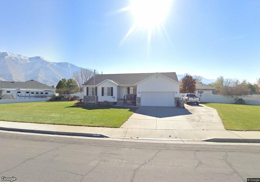
1927 W 130 S Mapleton, UT 84664
Estimated Value: $558,000 - $598,000
3
Beds
2
Baths
1,260
Sq Ft
$458/Sq Ft
Est. Value
About This Home
This home is located at 1927 W 130 S, Mapleton, UT 84664 and is currently estimated at $576,986, approximately $457 per square foot. 1927 W 130 S is a home located in Utah County with nearby schools including Maple Ridge Elementary, Mapleton Junior High School, and Maple Mountain High School.
Ownership History
Date
Name
Owned For
Owner Type
Purchase Details
Closed on
Jul 12, 2024
Sold by
Taylor L Thorpe L and Taylor Barbara G
Bought by
Thorpe Tadd and Thorpe Jill J
Current Estimated Value
Purchase Details
Closed on
May 19, 2020
Sold by
Thorpe Taylor L and Thorpe Barbara G
Bought by
Taylor L Thorpe And Barbara G Thorpe Family T and Thorpe
Purchase Details
Closed on
Jul 18, 2000
Sold by
Salisbury Development Lc
Bought by
Thorpe Taylor L and Thorpe Barbara G
Create a Home Valuation Report for This Property
The Home Valuation Report is an in-depth analysis detailing your home's value as well as a comparison with similar homes in the area
Home Values in the Area
Average Home Value in this Area
Purchase History
| Date | Buyer | Sale Price | Title Company |
|---|---|---|---|
| Thorpe Tadd | -- | Key Land Title | |
| Taylor L Thorpe And Barbara G Thorpe Family T | -- | Key Land Title | |
| Thorpe Taylor L | -- | Provo Land Title Company |
Source: Public Records
Tax History
| Year | Tax Paid | Tax Assessment Tax Assessment Total Assessment is a certain percentage of the fair market value that is determined by local assessors to be the total taxable value of land and additions on the property. | Land | Improvement |
|---|---|---|---|---|
| 2025 | $2,603 | $285,505 | -- | -- |
| 2024 | $2,653 | $255,035 | $0 | $0 |
| 2023 | $2,974 | $261,525 | $0 | $0 |
| 2022 | $519 | $289,850 | $0 | $0 |
| 2021 | $50 | $368,000 | $161,800 | $206,200 |
| 2020 | $164 | $349,400 | $143,200 | $206,200 |
| 2019 | $2,149 | $317,600 | $138,300 | $179,300 |
| 2018 | $496 | $286,900 | $118,000 | $168,900 |
| 2017 | $224 | $144,375 | $0 | $0 |
| 2016 | $232 | $140,800 | $0 | $0 |
| 2015 | $327 | $136,290 | $0 | $0 |
| 2014 | $432 | $122,430 | $0 | $0 |
Source: Public Records
Map
Nearby Homes
- 1810 W 300 S Unit D
- 2652 W Maple St Unit 281
- 1780 W Maple St
- 1656 W 300 S Unit B
- 1655 W 200 S Unit A
- 203 N 1900 W
- 2216 W Silver Leaf Dr Unit 35
- 216 N 1750 W
- 281 N Pheasant Dr
- 293 N Pheasant Dr
- 141 N Pinnacle Ave
- 262 N Santa fe Dr
- 442 S Doubleday St
- 2414 W Santa fe Dr
- 2458 W Aurora Ave Unit 287
- 29 N Sunrise Ranch Dr
- 715 W 4600 S Unit Lot I303
- 715 W 4600 S Unit Lot I304
- 2559 W Aurora Ave Unit 292
- 121 S Crimson Way
- 60 S Slant Rd
- 1881 W 130 S
- 1971 W 130 S
- 210 S Slant Rd
- 210 Slant Rd
- 1934 W 130 S
- 1964 W 130 S
- 2001 W 130 S
- 1902 W 130 S
- 84 S Slant Rd
- 1788 W 200 S
- 1788 W 200 S Unit B
- 1788 W 200 S Unit B
- 1788 W 200 S Unit C
- 1788 W 200 S Unit D
- 1788 W 200 S Unit C
- 1788 W 200 S Unit D
- 1998 W 130 S
- 84 S Slant Rd
- 1788 W 200 S Unit B
Your Personal Tour Guide
Ask me questions while you tour the home.