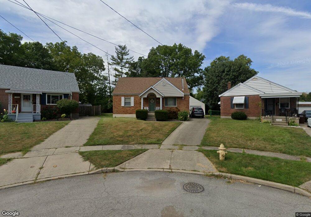
1928 Acorn Dr Cincinnati, OH 45231
Estimated Value: $190,000 - $207,000
3
Beds
2
Baths
1,347
Sq Ft
$148/Sq Ft
Est. Value
About This Home
This home is located at 1928 Acorn Dr, Cincinnati, OH 45231 and is currently estimated at $198,825, approximately $147 per square foot. 1928 Acorn Dr is a home located in Hamilton County with nearby schools including North College Hill Elementary School, North College Hill Middle School, and North College Hill High School.
Ownership History
Date
Name
Owned For
Owner Type
Purchase Details
Closed on
Oct 18, 2002
Sold by
Scholle Mary L
Bought by
Mayo John D
Current Estimated Value
Home Financials for this Owner
Home Financials are based on the most recent Mortgage that was taken out on this home.
Original Mortgage
$105,355
Outstanding Balance
$42,905
Interest Rate
6.29%
Estimated Equity
$155,920
Purchase Details
Closed on
Nov 12, 1993
Sold by
Soto Edward L and Soto Donna M
Bought by
Scholle Mary L
Home Financials for this Owner
Home Financials are based on the most recent Mortgage that was taken out on this home.
Original Mortgage
$55,600
Interest Rate
6.96%
Create a Home Valuation Report for This Property
The Home Valuation Report is an in-depth analysis detailing your home's value as well as a comparison with similar homes in the area
Home Values in the Area
Average Home Value in this Area
Purchase History
| Date | Buyer | Sale Price | Title Company |
|---|---|---|---|
| Mayo John D | $110,900 | -- | |
| Scholle Mary L | -- | -- |
Source: Public Records
Mortgage History
| Date | Status | Borrower | Loan Amount |
|---|---|---|---|
| Open | Mayo John D | $105,355 | |
| Previous Owner | Scholle Mary L | $55,600 |
Source: Public Records
Tax History
| Year | Tax Paid | Tax Assessment Tax Assessment Total Assessment is a certain percentage of the fair market value that is determined by local assessors to be the total taxable value of land and additions on the property. | Land | Improvement |
|---|---|---|---|---|
| 2025 | $2,755 | $53,050 | $7,490 | $45,560 |
| 2023 | $2,712 | $53,050 | $7,490 | $45,560 |
| 2022 | $2,207 | $30,818 | $6,104 | $24,714 |
| 2021 | $2,163 | $30,818 | $6,104 | $24,714 |
| 2020 | $1,895 | $30,818 | $6,104 | $24,714 |
| 2019 | $1,861 | $27,034 | $5,355 | $21,679 |
| 2018 | $1,862 | $27,034 | $5,355 | $21,679 |
| 2017 | $1,763 | $27,034 | $5,355 | $21,679 |
| 2016 | $1,852 | $30,216 | $6,580 | $23,636 |
| 2015 | $1,855 | $30,216 | $6,580 | $23,636 |
| 2014 | $1,853 | $30,216 | $6,580 | $23,636 |
| 2013 | $1,912 | $32,144 | $7,000 | $25,144 |
Source: Public Records
Map
Nearby Homes
- 1650 Joseph Ct
- 7310 Forest Ave
- 6961 La Boiteaux Ave
- 6948 Mulberry St
- 6942 Gloria Dr
- 1625 Joseph Ct
- 6915 Lois Dr
- 7324 Maple Ave
- 8724 Neptune Dr
- 1626 Flora Ave
- 1965 Stevens Ave
- 1980 Stevens Ave
- 2048 W Galbraith Rd
- 6822 Betts Ave
- 8729 Morningstar Ln
- 1541 Southridge Ln
- 1814 Goodman Ave
- 1838 de Armand Ave
- 1944 Dallas Ave
- 6715 Betts Ave
- 1930 Acorn Dr
- 1926 Acorn Dr
- 1867 Centerridge Ave
- 1865 Centerridge Ave
- 1924 Acorn Dr
- 1929 Acorn Dr
- 1863 Centerridge Ave
- 1922 Acorn Dr
- 1927 Acorn Dr
- 1925 Acorn Dr
- 1861 Centerridge Ave
- 1923 Acorn Dr
- 1920 Acorn Dr
- 1859 Centerridge Ave
- 1921 Acorn Dr
- 1926 Knollridge Ln
- 1919 Acorn Dr
- 1928 Knollridge Ln
- 1857 Centerridge Ave
- 1924 Knollridge Ln
Your Personal Tour Guide
Ask me questions while you tour the home.