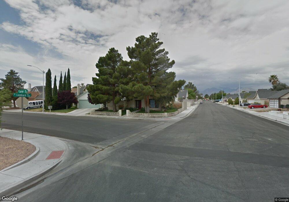
1928 Caviar Dr Las Vegas, NV 89108
Michael Way NeighborhoodEstimated Value: $363,000 - $410,000
3
Beds
3
Baths
1,396
Sq Ft
$279/Sq Ft
Est. Value
About This Home
This home is located at 1928 Caviar Dr, Las Vegas, NV 89108 and is currently estimated at $389,297, approximately $278 per square foot. 1928 Caviar Dr is a home located in Clark County with nearby schools including Lilly & Wing Fong Elementary School, J. Harold Brinley Middle School, and Western High School.
Ownership History
Date
Name
Owned For
Owner Type
Purchase Details
Closed on
Sep 9, 2002
Sold by
Thompson John W and Thompson Rosemary
Bought by
Lane David S and Lane Michele
Current Estimated Value
Home Financials for this Owner
Home Financials are based on the most recent Mortgage that was taken out on this home.
Original Mortgage
$138,000
Outstanding Balance
$57,563
Interest Rate
6.22%
Mortgage Type
VA
Estimated Equity
$331,734
Create a Home Valuation Report for This Property
The Home Valuation Report is an in-depth analysis detailing your home's value as well as a comparison with similar homes in the area
Home Values in the Area
Average Home Value in this Area
Purchase History
| Date | Buyer | Sale Price | Title Company |
|---|---|---|---|
| Lane David S | $138,000 | Nevada Title Company |
Source: Public Records
Mortgage History
| Date | Status | Borrower | Loan Amount |
|---|---|---|---|
| Open | Lane David S | $138,000 |
Source: Public Records
Tax History Compared to Growth
Tax History
| Year | Tax Paid | Tax Assessment Tax Assessment Total Assessment is a certain percentage of the fair market value that is determined by local assessors to be the total taxable value of land and additions on the property. | Land | Improvement |
|---|---|---|---|---|
| 2025 | $1,352 | $66,763 | $24,150 | $42,613 |
| 2024 | $1,967 | $66,763 | $24,150 | $42,613 |
| 2023 | $1,967 | $67,565 | $26,600 | $40,965 |
| 2022 | $1,275 | $59,290 | $21,350 | $37,940 |
| 2021 | $1,238 | $56,375 | $19,950 | $36,425 |
| 2020 | $1,199 | $55,153 | $18,550 | $36,603 |
| 2019 | $1,185 | $51,339 | $15,050 | $36,289 |
| 2018 | $1,130 | $47,039 | $11,900 | $35,139 |
| 2017 | $1,533 | $46,769 | $10,850 | $35,919 |
| 2016 | $1,059 | $45,243 | $8,750 | $36,493 |
| 2015 | $1,325 | $40,102 | $5,950 | $34,152 |
| 2014 | $1,366 | $30,284 | $4,900 | $25,384 |
Source: Public Records
Map
Nearby Homes
- 6520 Lombard Dr
- 1814 Marathon Dr
- 6633 Gazelle Dr
- 2040 Willowbury Dr Unit C
- 2028 Bavington Dr Unit A
- 1713 Amboy Dr
- 6400 Starcrest Dr
- 2108 Willowbury Dr Unit B
- 6380 Blue Twilight Ct
- 1704 Kismet Cir
- 1816 N Torrey Pines Dr
- 1900 N Torrey Pines Dr Unit 212
- 1900 N Torrey Pines Dr Unit 223
- 1701 Goodrich Cir
- 2124 Willowbury Dr Unit D
- 2121 Chertsey Dr Unit D
- 2136 Bavington Dr Unit A
- 2140 Bavington Dr Unit B
- 1630 Harvest Pecan Ct
- 2132 Chertsey Dr Unit D
- 1924 Caviar Dr
- 1920 Caviar Dr
- 1921 Krypton Cir
- 1917 Krypton Cir
- 6560 Lombard Dr
- 6556 Lombard Dr
- 1916 Caviar Dr
- 1913 Krypton Cir
- 1913 Krypton Cir Unit na
- 6564 Lombard Dr
- 6552 Lombard Dr
- 1929 Caviar Dr
- 6568 Lombard Dr
- 6548 Lombard Dr
- 1909 Krypton Cir
- 1925 Caviar Dr
- 1912 Caviar Dr
- 1921 Caviar Dr
- 6572 Lombard Dr
- 6544 Lombard Dr