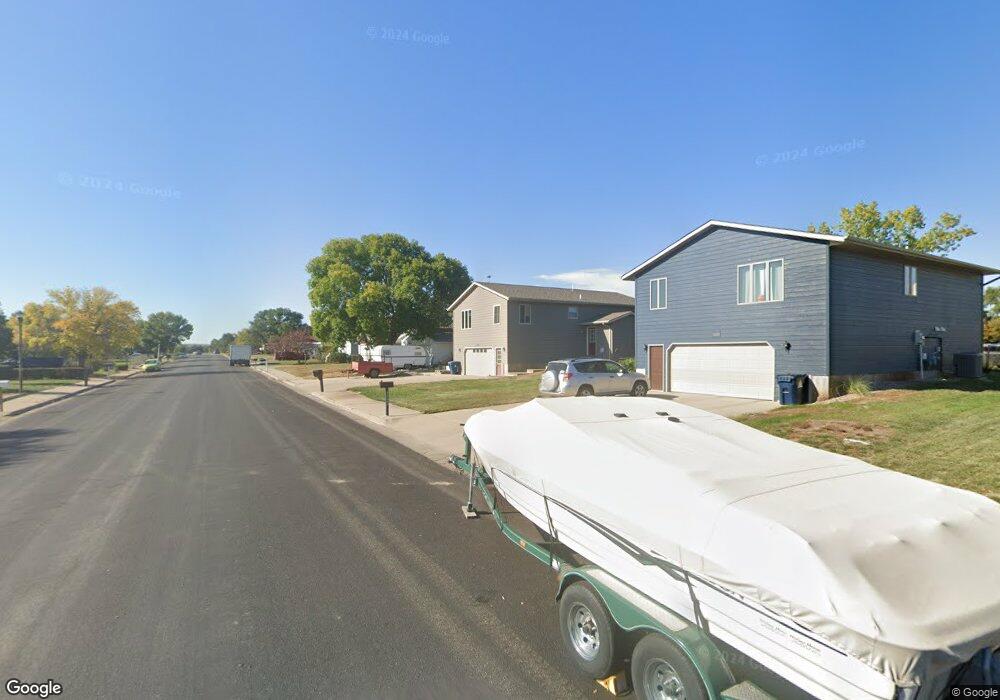
1928 E Sully Ave Pierre, SD 57501
Estimated Value: $225,337 - $270,000
2
Beds
1
Bath
1,296
Sq Ft
$194/Sq Ft
Est. Value
About This Home
This home is located at 1928 E Sully Ave, Pierre, SD 57501 and is currently estimated at $251,584, approximately $194 per square foot. 1928 E Sully Ave is a home with nearby schools including T.F. Riggs High School and Pierre SDA School.
Ownership History
Date
Name
Owned For
Owner Type
Purchase Details
Closed on
Oct 15, 2005
Sold by
Clark Ronald W and Clark Paula M
Bought by
Stotts Thomas Gene and Stotts Dulcie M
Current Estimated Value
Home Financials for this Owner
Home Financials are based on the most recent Mortgage that was taken out on this home.
Original Mortgage
$25,875
Interest Rate
5.89%
Create a Home Valuation Report for This Property
The Home Valuation Report is an in-depth analysis detailing your home's value as well as a comparison with similar homes in the area
Home Values in the Area
Average Home Value in this Area
Purchase History
| Date | Buyer | Sale Price | Title Company |
|---|---|---|---|
| Stotts Thomas Gene | $28,750 | -- |
Source: Public Records
Mortgage History
| Date | Status | Borrower | Loan Amount |
|---|---|---|---|
| Closed | Stotts Thomas Gene | $25,875 |
Source: Public Records
Tax History
| Year | Tax Paid | Tax Assessment Tax Assessment Total Assessment is a certain percentage of the fair market value that is determined by local assessors to be the total taxable value of land and additions on the property. | Land | Improvement |
|---|---|---|---|---|
| 2025 | $2,610 | $219,860 | $37,020 | $182,840 |
| 2024 | $2,604 | $211,153 | $37,020 | $174,133 |
| 2023 | $2,383 | $205,312 | $35,426 | $169,886 |
| 2022 | $2,243 | $175,311 | $33,739 | $141,572 |
| 2021 | $2,198 | $156,528 | $30,124 | $126,404 |
| 2020 | $2,250 | $151,969 | $29,247 | $122,722 |
| 2019 | $2,246 | $151,969 | $29,247 | $122,722 |
| 2018 | $2,151 | $147,543 | $28,395 | $119,148 |
| 2017 | -- | $140,517 | $27,043 | $113,474 |
| 2016 | $2,251 | $140,517 | $27,043 | $113,474 |
| 2015 | -- | $136,424 | $26,255 | $110,169 |
| 2014 | -- | $132,450 | $25,490 | $106,960 |
| 2013 | -- | $132,450 | $25,490 | $106,960 |
| 2011 | -- | $129,890 | $25,490 | $104,400 |
Source: Public Records
Map
Nearby Homes
- 1720 E Park St
- 1603 E Park St
- 1601 E Park St
- 1421 E Park St
- 1420 E Dakota Ave
- 314 S Filmore Ave
- 220 S Van Buren Ave
- 115 S Tyler Ave
- 2416 E Franklin St
- 2801 E Sully Ave
- 2800 E Green St
- 1006 S Arthur St
- 1515 E Capitol Ave
- 1511 E Capitol Ave
- 1501 E Capitol Ave
- 2810 E Irwin St
- 1007 E Marina Ave
- 2827 E Irwin St
- 2817 E Humboldt St
- 1602 E Cabot St
- 1920 E Sully Ave
- 1916 E Sully Ave
- 2000 E Sully Ave
- 1929 E Sully Ave
- 1925 E Sully Ave
- 1917 E Sully Ave
- 2012 E Sully Ave
- 1915 E Park St
- 2009 E Sully Ave
- 1911 E Sully Ave
- 2007 E Wells Ave
- 2007 E Wells Ave Unit Avenue
- 1904 E Sully Ave
- 1909 E Sully Ave
- 1903 E Sully Ave
- 2013 E Park St
- 2019 E Park St
- 2019 E Sully Ave
- 2026 E Sully Ave
- 2012 E Park St
Your Personal Tour Guide
Ask me questions while you tour the home.