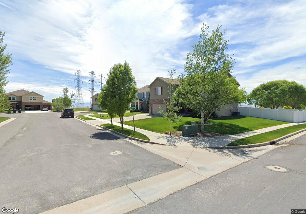
1928 Endicott Cir Kaysville, UT 84037
West Kaysville NeighborhoodEstimated Value: $708,877 - $900,000
5
Beds
3
Baths
3,245
Sq Ft
$237/Sq Ft
Est. Value
About This Home
This home is located at 1928 Endicott Cir, Kaysville, UT 84037 and is currently estimated at $767,469, approximately $236 per square foot. 1928 Endicott Cir is a home with nearby schools including Kay's Creek Elementary School, Shoreline Junior High School, and Davis High School.
Ownership History
Date
Name
Owned For
Owner Type
Purchase Details
Closed on
Oct 7, 2005
Sold by
Fieldstone Homes Utah Llc
Bought by
Porter Paul and Porter Diana
Current Estimated Value
Home Financials for this Owner
Home Financials are based on the most recent Mortgage that was taken out on this home.
Original Mortgage
$187,411
Outstanding Balance
$99,318
Interest Rate
5.7%
Mortgage Type
Fannie Mae Freddie Mac
Estimated Equity
$668,151
Create a Home Valuation Report for This Property
The Home Valuation Report is an in-depth analysis detailing your home's value as well as a comparison with similar homes in the area
Home Values in the Area
Average Home Value in this Area
Purchase History
| Date | Buyer | Sale Price | Title Company |
|---|---|---|---|
| Porter Paul | -- | Bonneville Title Company |
Source: Public Records
Mortgage History
| Date | Status | Borrower | Loan Amount |
|---|---|---|---|
| Open | Porter Paul | $187,411 |
Source: Public Records
Tax History Compared to Growth
Tax History
| Year | Tax Paid | Tax Assessment Tax Assessment Total Assessment is a certain percentage of the fair market value that is determined by local assessors to be the total taxable value of land and additions on the property. | Land | Improvement |
|---|---|---|---|---|
| 2024 | -- | $322,300 | $138,537 | $183,763 |
| 2023 | $397 | $565,000 | $257,114 | $307,886 |
| 2022 | $397 | $325,600 | $141,085 | $184,515 |
| 2021 | $0 | $424,000 | $157,559 | $266,441 |
| 2020 | $2,378 | $369,000 | $132,910 | $236,090 |
| 2019 | $2,378 | $357,000 | $140,721 | $216,279 |
| 2018 | $2,171 | $325,000 | $115,961 | $209,039 |
| 2016 | $1,853 | $145,806 | $51,607 | $94,199 |
| 2015 | $1,824 | $136,236 | $51,607 | $84,629 |
| 2014 | $1,823 | $138,676 | $49,155 | $89,521 |
| 2013 | -- | $126,996 | $24,286 | $102,710 |
Source: Public Records
Map
Nearby Homes
- 454 S Lincolnshire Way
- 37 S Preston St Unit 10
- 1873 W 75 S
- Brinton Signature Plan at Pintail Estates
- 34 S Preston St
- 1649 Pheasant Meadow Dr
- 1845 W Sherri Ln
- 1539 Misty Breeze Cir
- 1599 Galbraith Ln
- Yalecrest Plan at The Preserve
- Trio Plan at The Preserve
- Timpani Plan at The Preserve
- Tenor Plan at The Preserve
- Octave Plan at The Preserve
- Madrigal Plan at The Preserve
- Interlude Plan at The Preserve
- Harvard Plan at The Preserve
- Harrison Plan at The Preserve
- Fortissimo Plan at The Preserve
- Forte Plan at The Preserve
- 1910 Endicott Cir
- 1942 Endicott Cir
- 322 Wellington Dr
- 1939 Endicott Cir
- 342 Wellington Dr
- 314 Wellington Dr
- 1925 Endicott Cir
- 327 Wellington Dr
- 354 Wellington Dr
- 335 Wellington Dr
- 343 Wellington Dr
- 1981 Cooper St
- 306 Wellington Dr
- 358 Wellington Dr
- 1969 Cooper St
- 294 S Wellington Dr
- 1955 Cooper St
- 366 Wellington Dr
- 1861 Bently Ct
- 1941 Cooper St