1928 Langram Rd Put In Bay, OH 43456
Estimated Value: $975,460 - $1,185,000
2
Beds
2
Baths
1,901
Sq Ft
$572/Sq Ft
Est. Value
About This Home
This home is located at 1928 Langram Rd, Put In Bay, OH 43456 and is currently estimated at $1,088,153, approximately $572 per square foot. 1928 Langram Rd is a home with nearby schools including Put-In-Bay Elementary School and Put-In-Bay High School.
Ownership History
Date
Name
Owned For
Owner Type
Purchase Details
Closed on
Sep 18, 2002
Sold by
Wilhelm Gary F
Bought by
Knaser Lawrence C and Knaser Tamara N
Current Estimated Value
Home Financials for this Owner
Home Financials are based on the most recent Mortgage that was taken out on this home.
Original Mortgage
$325,000
Outstanding Balance
$137,348
Interest Rate
6.4%
Mortgage Type
New Conventional
Estimated Equity
$950,805
Create a Home Valuation Report for This Property
The Home Valuation Report is an in-depth analysis detailing your home's value as well as a comparison with similar homes in the area
Home Values in the Area
Average Home Value in this Area
Purchase History
| Date | Buyer | Sale Price | Title Company |
|---|---|---|---|
| Knaser Lawrence C | $500,000 | -- |
Source: Public Records
Mortgage History
| Date | Status | Borrower | Loan Amount |
|---|---|---|---|
| Open | Knaser Lawrence C | $325,000 |
Source: Public Records
Tax History Compared to Growth
Tax History
| Year | Tax Paid | Tax Assessment Tax Assessment Total Assessment is a certain percentage of the fair market value that is determined by local assessors to be the total taxable value of land and additions on the property. | Land | Improvement |
|---|---|---|---|---|
| 2024 | $10,644 | $328,185 | $201,051 | $127,134 |
| 2023 | $10,644 | $228,677 | $148,929 | $79,748 |
| 2022 | $7,387 | $213,515 | $148,929 | $64,586 |
| 2021 | $7,394 | $213,520 | $148,930 | $64,590 |
| 2020 | $7,202 | $199,090 | $137,900 | $61,190 |
| 2019 | $6,941 | $199,090 | $137,900 | $61,190 |
| 2018 | $6,999 | $199,090 | $137,900 | $61,190 |
| 2017 | $6,937 | $195,330 | $137,900 | $57,430 |
| 2016 | $7,216 | $195,330 | $137,900 | $57,430 |
| 2015 | $6,401 | $190,380 | $137,900 | $52,480 |
| 2014 | $6,386 | $190,380 | $137,900 | $52,480 |
| 2013 | $6,006 | $190,380 | $137,900 | $52,480 |
Source: Public Records
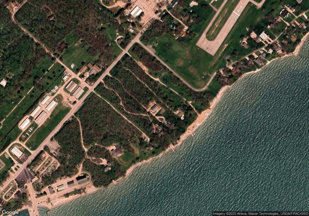
Map
Nearby Homes
- 1751 Airline Dr
- 1839 Put In Bay Rd
- 166 Mariners Cove
- 1741 Put In Bay Rd
- 1 Langram Rd
- 0 Langram Rd
- 156 Cessna Dr
- 1262 Tri-Motor Dr Unit 110
- 1230 Tri-Motor Dr Unit 4
- 1230 Tri Motor Dr Unit 4
- 1252 Tri-Motor Dr Unit 213
- 70 Niese Place
- 0 Put-In-bay Rd Unit 5108785
- 1 Elliot Ave
- 174 Booker Ln
- 1 Jones
- 1 Farragut
- 569 Victory Ln
- 585 Victory Ln
- 389 Loraine Ave
- 1962 Langram Rd
- 1900 Langram Rd
- 10 Airline Dr
- 0 Airline Dr
- 1439 Airline Dr
- 1672 Airline Dr
- 1588 Airline Dr
- 1482 Airline Dr
- 1982 Langram Rd
- 1872 Langram Rd Unit 1882
- 1872 Langram Rd
- 2040 S Passage Rd
- 0 Airline Rd Unit 4638863
- 0 Airline Rd Unit 20212332
- 0 Airline Rd Unit 20210154
- 0 Airline Rd Unit 20183847
- 0 Airline Rd Unit 20183828
- 0 Airline Rd Unit 20145997
- 0 Airline Rd Unit 20145996
- 0 Airline Rd Unit 20135544