1928 N Lake Rd Genola, UT 84655
Estimated Value: $604,000 - $1,476,000
3
Beds
3
Baths
1,884
Sq Ft
$568/Sq Ft
Est. Value
About This Home
This home is located at 1928 N Lake Rd, Genola, UT 84655 and is currently estimated at $1,069,801, approximately $567 per square foot. 1928 N Lake Rd is a home located in Utah County with nearby schools including Goshen Elementary school, Payson Junior High School, and Payson High School.
Ownership History
Date
Name
Owned For
Owner Type
Purchase Details
Closed on
Oct 26, 2012
Sold by
Taylor Daniel M and Taylor Nan S
Bought by
Taylor Daniel M and Taylor Nan S
Current Estimated Value
Home Financials for this Owner
Home Financials are based on the most recent Mortgage that was taken out on this home.
Original Mortgage
$217,400
Outstanding Balance
$38,547
Interest Rate
3.36%
Mortgage Type
New Conventional
Estimated Equity
$1,031,255
Purchase Details
Closed on
May 7, 2009
Sold by
Taylor Daniel M and Taylor Nan
Bought by
Taylor Daniel M and Taylor Nan S
Home Financials for this Owner
Home Financials are based on the most recent Mortgage that was taken out on this home.
Original Mortgage
$255,000
Interest Rate
4.8%
Mortgage Type
New Conventional
Purchase Details
Closed on
Nov 14, 2007
Sold by
Taylor Daniel M and Taylor Nan S
Bought by
Taylor Daniel M and Taylor Nan S
Home Financials for this Owner
Home Financials are based on the most recent Mortgage that was taken out on this home.
Original Mortgage
$250,000
Interest Rate
6.35%
Mortgage Type
New Conventional
Purchase Details
Closed on
Feb 21, 1995
Sold by
Taylor Glendon C and Taylor Wanda M
Bought by
Taylor Daniel M and Taylor Nan S
Home Financials for this Owner
Home Financials are based on the most recent Mortgage that was taken out on this home.
Original Mortgage
$100,000
Interest Rate
8.15%
Create a Home Valuation Report for This Property
The Home Valuation Report is an in-depth analysis detailing your home's value as well as a comparison with similar homes in the area
Home Values in the Area
Average Home Value in this Area
Purchase History
| Date | Buyer | Sale Price | Title Company |
|---|---|---|---|
| Taylor Daniel M | -- | Inwest Title Services | |
| Taylor Daniel M | -- | Inwest Title Services | |
| Taylor Daniel M | -- | First American | |
| Taylor Daniel M | -- | First American | |
| Taylor Daniel M | -- | First American Spanish Fo | |
| Taylor Daniel M | -- | First American Spanish Fo | |
| Taylor Daniel M | -- | Provo Land Title |
Source: Public Records
Mortgage History
| Date | Status | Borrower | Loan Amount |
|---|---|---|---|
| Open | Taylor Daniel M | $217,400 | |
| Closed | Taylor Daniel M | $217,400 | |
| Closed | Taylor Daniel M | $255,000 | |
| Closed | Taylor Daniel M | $250,000 | |
| Previous Owner | Taylor Daniel M | $100,000 |
Source: Public Records
Tax History Compared to Growth
Tax History
| Year | Tax Paid | Tax Assessment Tax Assessment Total Assessment is a certain percentage of the fair market value that is determined by local assessors to be the total taxable value of land and additions on the property. | Land | Improvement |
|---|---|---|---|---|
| 2025 | $2,792 | $341,830 | $339,300 | $531,300 |
| 2024 | $2,792 | $288,805 | $0 | $0 |
| 2023 | $2,865 | $296,880 | $0 | $0 |
| 2022 | $2,595 | $739,900 | $344,400 | $395,500 |
| 2021 | $2,327 | $572,100 | $248,200 | $323,900 |
| 2020 | $2,089 | $530,400 | $215,900 | $314,500 |
| 2019 | $2,031 | $503,100 | $188,600 | $314,500 |
| 2018 | $1,849 | $447,100 | $173,600 | $273,500 |
| 2017 | $1,892 | $161,540 | $0 | $0 |
| 2016 | $1,653 | $141,905 | $0 | $0 |
| 2015 | $1,471 | $124,855 | $0 | $0 |
| 2014 | $1,464 | $124,860 | $0 | $0 |
Source: Public Records
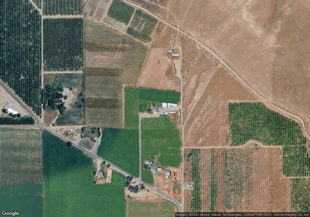
Map
Nearby Homes
- 1220 N Hillside Dr
- 956 N Main St
- 10686 Lincoln Beach Blvd
- 10336 S 6000 W
- 11508 S 5825 W
- 5746 W 11300 S
- 5635 W 11300 S
- 11363 S 5600 West St
- 11433 S 5600 West St
- 11433 S 5600 W
- 9054 S 6200 W
- 10900 S 5200 W
- 975 E 715 S
- 5132 W 10400 S
- 1010 S Anna Ekins Memorial Ln
- 358 W 910 N
- 2007 W 1150 S Unit 1041
- 841 N Dryland Cir Unit BALLAR
- 841 N Dryland Cir Unit DREXEL
- 841 N Dryland Cir Unit HILDAL