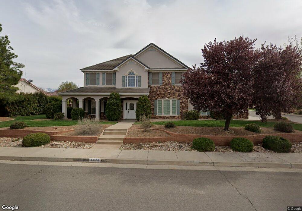
1928 N Serenity Dr Saint George, UT 84770
Estimated Value: $695,000 - $797,000
4
Beds
3
Baths
3,043
Sq Ft
$240/Sq Ft
Est. Value
About This Home
This home is located at 1928 N Serenity Dr, Saint George, UT 84770 and is currently estimated at $730,667, approximately $240 per square foot. 1928 N Serenity Dr is a home located in Washington County with nearby schools including Snow Canyon Middle School, Santa Clara School, and Lava Ridge Intermediate School.
Ownership History
Date
Name
Owned For
Owner Type
Purchase Details
Closed on
Apr 2, 2012
Sold by
Orchard Scott C and Orchard Jessica
Bought by
Orchard Scott and Orchard Jessica
Current Estimated Value
Home Financials for this Owner
Home Financials are based on the most recent Mortgage that was taken out on this home.
Original Mortgage
$262,282
Outstanding Balance
$179,787
Interest Rate
3.75%
Mortgage Type
FHA
Estimated Equity
$550,880
Purchase Details
Closed on
Feb 8, 2011
Sold by
Fuller L Scott L and Fuller Cristine S
Bought by
Orchard Scott C and Orchard Jessica
Home Financials for this Owner
Home Financials are based on the most recent Mortgage that was taken out on this home.
Original Mortgage
$263,155
Interest Rate
4.75%
Mortgage Type
FHA
Create a Home Valuation Report for This Property
The Home Valuation Report is an in-depth analysis detailing your home's value as well as a comparison with similar homes in the area
Home Values in the Area
Average Home Value in this Area
Purchase History
| Date | Buyer | Sale Price | Title Company |
|---|---|---|---|
| Orchard Scott | -- | United Title Services | |
| Orchard Scott C | -- | United Title Services |
Source: Public Records
Mortgage History
| Date | Status | Borrower | Loan Amount |
|---|---|---|---|
| Open | Orchard Scott | $262,282 | |
| Closed | Orchard Scott C | $263,155 |
Source: Public Records
Tax History Compared to Growth
Tax History
| Year | Tax Paid | Tax Assessment Tax Assessment Total Assessment is a certain percentage of the fair market value that is determined by local assessors to be the total taxable value of land and additions on the property. | Land | Improvement |
|---|---|---|---|---|
| 2025 | $2,294 | $348,810 | $72,600 | $276,210 |
| 2023 | $2,456 | $366,905 | $84,700 | $282,205 |
| 2022 | $2,799 | $393,250 | $84,700 | $308,550 |
| 2021 | $2,328 | $487,800 | $77,000 | $410,800 |
| 2020 | $2,085 | $411,400 | $65,000 | $346,400 |
| 2019 | $2,077 | $400,400 | $60,000 | $340,400 |
| 2018 | $2,132 | $211,860 | $0 | $0 |
| 2017 | $1,974 | $190,795 | $0 | $0 |
| 2016 | $1,895 | $169,400 | $0 | $0 |
| 2015 | $1,921 | $164,725 | $0 | $0 |
| 2014 | $2,010 | $173,415 | $0 | $0 |
Source: Public Records
Map
Nearby Homes
- 2655 Pioneer Pkwy Unit 2
- 0 Lava Rock Cir Unit 24-248076
- 2590 Pioneer Pkwy Unit 3
- 2590 Pioneer Pkwy Unit 3
- 2031 N Lava Rock Cir
- 2031 N Lava Rock Cir Unit Lot 107
- 41 Boulder Cir
- 2612 W Lava Valley Way
- 19 Boulder Cir
- 2624 W Lava Valley Way
- 2085 N Tuweap Dr
- 2085 N Tuweap Dr Unit 32
- 0 Shoshoni Trail Unit Lot 103
- 2228 Chaco Trail
- 2770 W Lava Valley Way
- 2765 W Lava Valley Way
- 2349 Lava Cove Dr
- 2755 W Lava Hills Rd
- 2254 N Cohonina Cir
- 2761 W Lava Hills Rd
- 2464 W 1920 N
- 1942 N Serenity Dr
- 1947 Centennial Dr
- 1947 N Centennial Cir
- 2510 W 1920 North Cir
- 2510 W 1920 Cir N
- 1906 N Serenity Dr
- 2461 W 1920 N
- 1959 Centennial Dr
- 1959 Centennial Dr
- 1855 N Centennial Cir
- 1867 N Centennial Cir
- 1863 N Centennial Cir
- 1777 N Centennial Cir
- 1794 N Centennial Cir
- 1960 N Serenity Dr
- 1941 N Serenity Dr
- 1909 N Serenity Dr
- 2522 W 1920 Cir N
- 2522 W 1920 North Cir