1928 Snyder Ct Myrtle Point, OR 97458
Estimated Value: $249,852
2
Beds
1
Bath
1,032
Sq Ft
$242/Sq Ft
Est. Value
About This Home
This home is located at 1928 Snyder Ct, Myrtle Point, OR 97458 and is currently estimated at $249,852, approximately $242 per square foot. 1928 Snyder Ct is a home located in Coos County with nearby schools including Myrtle Crest School and Myrtle Point High School.
Ownership History
Date
Name
Owned For
Owner Type
Purchase Details
Closed on
Dec 17, 2012
Sold by
Wittlake Travis and Wittlake Christie
Bought by
Marsh Richard
Current Estimated Value
Home Financials for this Owner
Home Financials are based on the most recent Mortgage that was taken out on this home.
Original Mortgage
$107,142
Outstanding Balance
$73,897
Interest Rate
3.35%
Mortgage Type
New Conventional
Estimated Equity
$175,955
Purchase Details
Closed on
Feb 12, 2004
Sold by
Warner Erica D and Warner Gary B
Bought by
Wittlake Travis and Wittlake Christie
Home Financials for this Owner
Home Financials are based on the most recent Mortgage that was taken out on this home.
Original Mortgage
$78,850
Interest Rate
5.82%
Mortgage Type
Purchase Money Mortgage
Create a Home Valuation Report for This Property
The Home Valuation Report is an in-depth analysis detailing your home's value as well as a comparison with similar homes in the area
Home Values in the Area
Average Home Value in this Area
Purchase History
| Date | Buyer | Sale Price | Title Company |
|---|---|---|---|
| Marsh Richard | $105,000 | Ticor Title Insurance | |
| Wittlake Travis | $83,000 | Ticor Title Insurance |
Source: Public Records
Mortgage History
| Date | Status | Borrower | Loan Amount |
|---|---|---|---|
| Open | Marsh Richard | $107,142 | |
| Previous Owner | Wittlake Travis | $78,850 |
Source: Public Records
Tax History Compared to Growth
Tax History
| Year | Tax Paid | Tax Assessment Tax Assessment Total Assessment is a certain percentage of the fair market value that is determined by local assessors to be the total taxable value of land and additions on the property. | Land | Improvement |
|---|---|---|---|---|
| 2025 | $1,070 | $64,520 | -- | -- |
| 2024 | $1,052 | $62,650 | -- | -- |
| 2023 | $1,004 | $60,830 | $0 | $0 |
| 2022 | $988 | $59,060 | $0 | $0 |
| 2021 | $962 | $57,340 | $0 | $0 |
| 2020 | $936 | $57,340 | $0 | $0 |
| 2019 | $895 | $54,050 | $0 | $0 |
| 2018 | $870 | $52,480 | $0 | $0 |
| 2017 | $848 | $50,960 | $0 | $0 |
| 2016 | $824 | $49,480 | $0 | $0 |
| 2015 | $765 | $48,040 | $0 | $0 |
| 2014 | $765 | $46,650 | $0 | $0 |
Source: Public Records
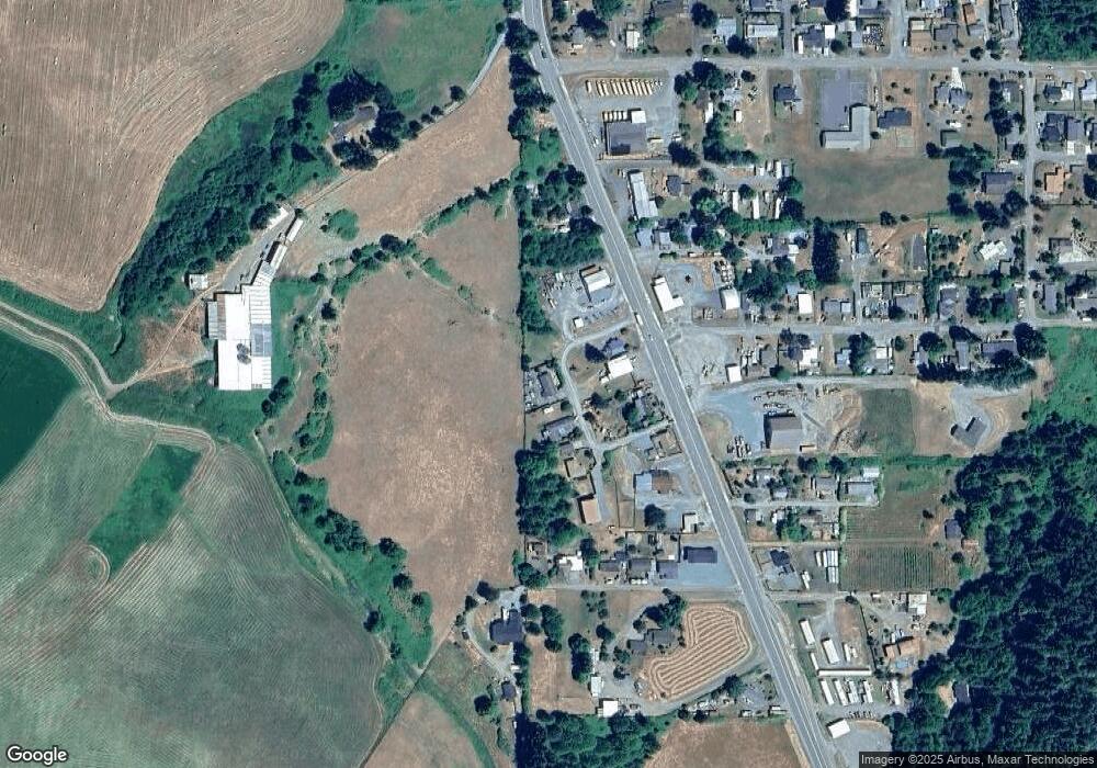
Map
Nearby Homes
- 1950 Snyder Ct
- 0 Snyder Ct
- 1900 Roseburg Rd
- 1930 Roseburg Rd
- 1890 Roseburg Rd
- 1954 Roseburg Rd
- 1732 Roseburg Rd
- 1539 Carlisle Ln
- 1994 Roseburg Rd
- 1600 Carlisle Ln
- 1654 Carlisle Ln
- 0 Carlisle Ln
- 1863 Roseburg Rd
- 1681 Carlisle Ln
- 1808 Kincheloe Ln
- 1825 Roseburg Rd
- 1811 Kincheloe Ln
- 1702 Roseburg Rd
- 1502 Carlisle Ln