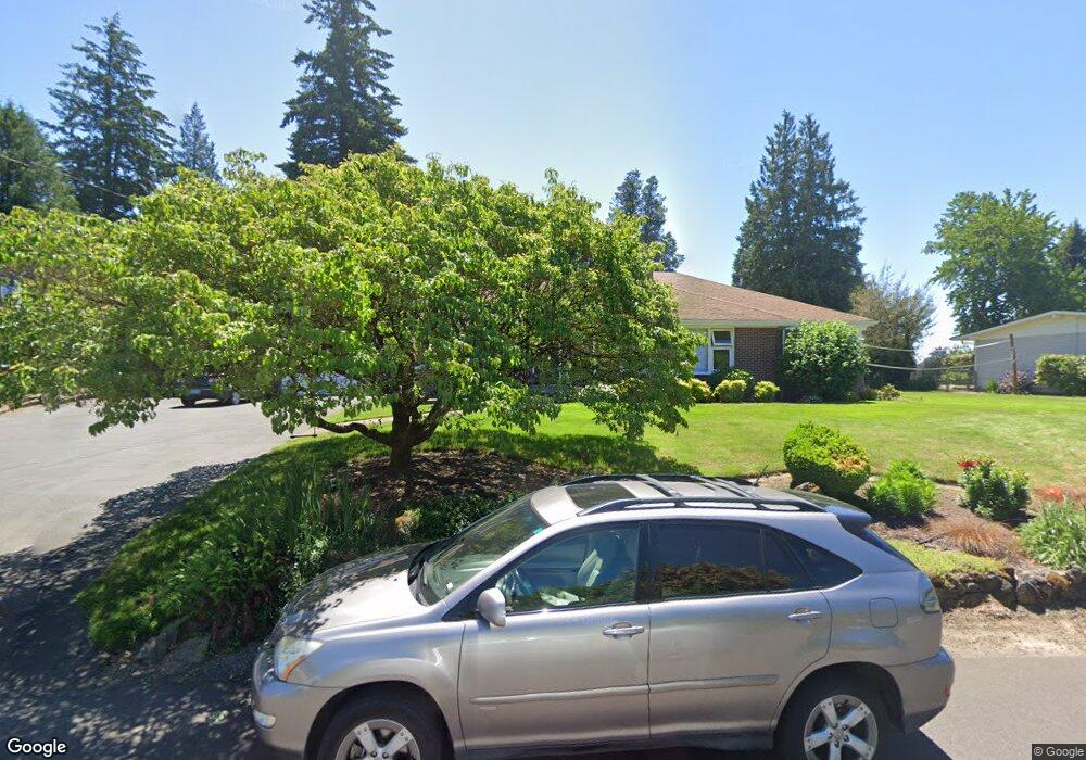
1928 SW Custer St Portland, OR 97219
Hillsdale NeighborhoodEstimated Value: $916,000 - $1,147,000
6
Beds
4
Baths
1,990
Sq Ft
$511/Sq Ft
Est. Value
About This Home
This home is located at 1928 SW Custer St, Portland, OR 97219 and is currently estimated at $1,017,414, approximately $511 per square foot. 1928 SW Custer St is a home located in Multnomah County with nearby schools including Rieke Elementary School, Robert Gray Middle School, and Ida B. Wells-Barnett High School.
Ownership History
Date
Name
Owned For
Owner Type
Purchase Details
Closed on
Apr 28, 2010
Sold by
Popick Laurie E
Bought by
Grant Damon and Grant Alyson
Current Estimated Value
Home Financials for this Owner
Home Financials are based on the most recent Mortgage that was taken out on this home.
Original Mortgage
$330,000
Outstanding Balance
$219,773
Interest Rate
4.92%
Mortgage Type
New Conventional
Estimated Equity
$797,641
Purchase Details
Closed on
Dec 15, 2009
Sold by
Popick Ronald E
Bought by
Popick Laurie E
Create a Home Valuation Report for This Property
The Home Valuation Report is an in-depth analysis detailing your home's value as well as a comparison with similar homes in the area
Home Values in the Area
Average Home Value in this Area
Purchase History
| Date | Buyer | Sale Price | Title Company |
|---|---|---|---|
| Grant Damon | $470,000 | Pacific Northwest Title Of O | |
| Popick Laurie E | -- | Chicago Title |
Source: Public Records
Mortgage History
| Date | Status | Borrower | Loan Amount |
|---|---|---|---|
| Open | Grant Damon | $330,000 |
Source: Public Records
Tax History Compared to Growth
Tax History
| Year | Tax Paid | Tax Assessment Tax Assessment Total Assessment is a certain percentage of the fair market value that is determined by local assessors to be the total taxable value of land and additions on the property. | Land | Improvement |
|---|---|---|---|---|
| 2024 | $10,834 | $405,300 | -- | -- |
| 2023 | $10,417 | $393,500 | $0 | $0 |
| 2022 | $10,192 | $382,040 | $0 | $0 |
| 2021 | $10,019 | $370,920 | $0 | $0 |
| 2020 | $9,191 | $360,120 | $0 | $0 |
| 2019 | $8,853 | $349,640 | $0 | $0 |
| 2018 | $8,593 | $339,460 | $0 | $0 |
| 2017 | $8,236 | $291,970 | $0 | $0 |
| 2016 | $6,676 | $283,470 | $0 | $0 |
| 2015 | $6,501 | $275,220 | $0 | $0 |
| 2014 | $6,403 | $267,210 | $0 | $0 |
Source: Public Records
Map
Nearby Homes
- 1834 SW Miles St
- 2320 SW Canby Ct
- 1739 SW Logan St
- 7898 SW Capitol Hill Rd
- 8046 SW Capitol Hill Rd
- 8040 SW Capitol Hill Rd
- 7820 SW 17th Dr
- 2119 SW Nevada Ct
- 2601 SW Troy St
- 2612 SW Moss St
- 1613 SW Hume Ct
- 7290 SW 13th Ave
- 2525 SW Hume Ct
- 8329 SW 24th Ave Unit 3
- 1515 SW Carson St
- 2616 SW Hume Ct Unit 28
- 6936 SW 15th Ave
- 2831 SW Moss St
- 7308 SW 13th Dr
- 7131 SW 12th Ave
- 1910 SW Custer St
- 2004 SW Custer St
- 1927 SW Canby St
- 1941 SW Canby St
- 2001 SW Canby St
- 1913 SW Canby St
- 2010 SW Custer St
- 1935 SW Custer St
- 2005 SW Custer St
- 1905 SW Custer St
- 2011 SW Canby St
- 1829 SW Canby St
- 2022 SW Custer St
- 1844 SW Custer St
- 2011 SW Custer St
- 2025 SW Canby St
- 1815 SW Canby St
- 1843 SW Custer St
- 1914 SW Canby St
- 2042 SW Custer St