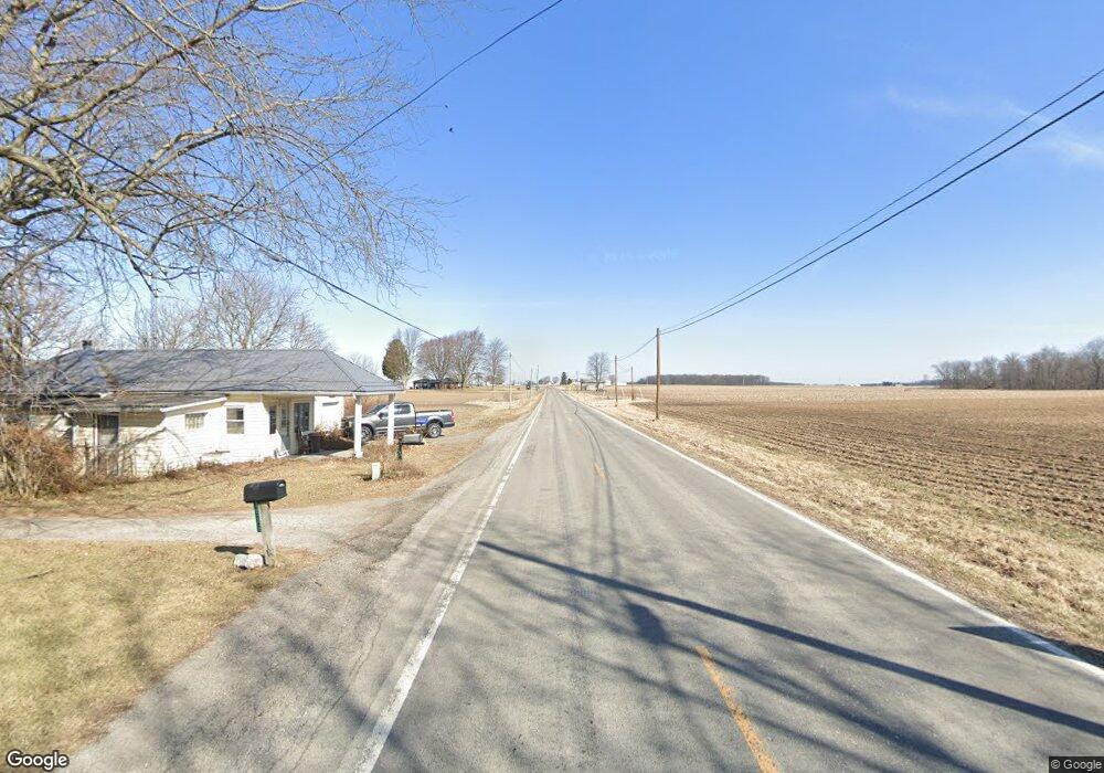
19287 State Route 698 Jenera, OH 45841
Estimated Value: $278,000 - $471,905
3
Beds
2
Baths
3,020
Sq Ft
$135/Sq Ft
Est. Value
About This Home
This home is located at 19287 State Route 698, Jenera, OH 45841 and is currently estimated at $406,476, approximately $134 per square foot. 19287 State Route 698 is a home with nearby schools including Arlington Local Elementary School, Arlington Local High School, and Trinity Lutheran School.
Ownership History
Date
Name
Owned For
Owner Type
Purchase Details
Closed on
Oct 26, 2023
Sold by
Welly Brian N
Bought by
Musgrave Jon and Musgrave Bianca
Current Estimated Value
Home Financials for this Owner
Home Financials are based on the most recent Mortgage that was taken out on this home.
Original Mortgage
$325,000
Outstanding Balance
$315,121
Interest Rate
7.19%
Mortgage Type
Credit Line Revolving
Estimated Equity
$91,355
Create a Home Valuation Report for This Property
The Home Valuation Report is an in-depth analysis detailing your home's value as well as a comparison with similar homes in the area
Home Values in the Area
Average Home Value in this Area
Purchase History
| Date | Buyer | Sale Price | Title Company |
|---|---|---|---|
| Musgrave Jon | -- | Flag City Title |
Source: Public Records
Mortgage History
| Date | Status | Borrower | Loan Amount |
|---|---|---|---|
| Open | Musgrave Jon | $325,000 |
Source: Public Records
Tax History Compared to Growth
Tax History
| Year | Tax Paid | Tax Assessment Tax Assessment Total Assessment is a certain percentage of the fair market value that is determined by local assessors to be the total taxable value of land and additions on the property. | Land | Improvement |
|---|---|---|---|---|
| 2024 | $3,766 | $86,170 | $15,580 | $70,590 |
| 2023 | $3,790 | $86,170 | $15,580 | $70,590 |
| 2022 | $3,549 | $86,170 | $15,580 | $70,590 |
| 2021 | $2,329 | $69,440 | $15,480 | $53,960 |
| 2020 | $2,304 | $69,440 | $15,480 | $53,960 |
| 2019 | $2,248 | $69,440 | $15,480 | $53,960 |
| 2018 | $2,015 | $62,570 | $13,460 | $49,110 |
| 2017 | $960 | $62,570 | $13,460 | $49,110 |
| 2016 | $1,886 | $62,570 | $13,460 | $49,110 |
| 2015 | $1,381 | $46,230 | $13,460 | $32,770 |
| 2014 | $1,381 | $46,230 | $13,460 | $32,770 |
| 2012 | $1,482 | $46,230 | $13,460 | $32,770 |
Source: Public Records
Map
Nearby Homes
- 18875 County Road 12
- 22294 Township Road 65
- 0 W Main Cross St Unit 6119599
- 0 W Main Cross St Unit 6119602
- 0 W Main Cross St Unit 6119597
- 395 Powell Dr
- 0 Township Rd Unit 77 207219
- 121 Hickory Grove Dr
- 22707 Township Road 61
- 309 Alisa Ln
- 118 Wilch St
- 230 Union St
- 219 E Main Cross St
- 648 N Main St
- 20265 U S 68
- 16392 County Road 12
- 4423 Township Road 25
- 4140 Township Road 25
- 12500 County Road 24
- 22694 County Road 12
- 19317 County Road 698
- 8083 State Route 103
- 22835 County Road 698
- 8170 Township Road 32
- 8194 Trail 32
- 8203 Township Road 32
- 7845 State Route 103
- 19514 State Route 698
- 8055 Township Road 32
- 0 Sr 103 Hwy Unit 138327
- 0 Sr 103 Hwy Unit 138328
- 0 Sr 103 Hwy Unit H138167
- 0 Sr 103 Hwy Unit 6055422
- 11114 Ch 81
- 8355 Township Road 32
- 8325 State Route 103
- 8194 Township Road 32
- 7754 State Route 103
- 19640 State Route 698