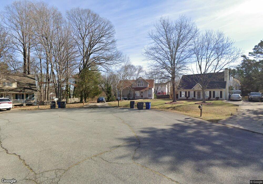
1929 Astoria Ct Winston Salem, NC 27127
Caroline Village-Janita Lakes NeighborhoodEstimated Value: $251,000 - $303,000
3
Beds
3
Baths
1,654
Sq Ft
$164/Sq Ft
Est. Value
About This Home
This home is located at 1929 Astoria Ct, Winston Salem, NC 27127 and is currently estimated at $270,732, approximately $163 per square foot. 1929 Astoria Ct is a home located in Forsyth County with nearby schools including Kimmel Farm Elementary School, Flat Rock Middle, and Parkland High.
Ownership History
Date
Name
Owned For
Owner Type
Purchase Details
Closed on
Apr 11, 2007
Sold by
Burrough Cory and Burrough Anne
Bought by
Floyd Porscha Shamika
Current Estimated Value
Purchase Details
Closed on
Apr 8, 2004
Sold by
Orli Tom and Orli Kelly V
Bought by
Burrough Cory and Burrough Ann
Home Financials for this Owner
Home Financials are based on the most recent Mortgage that was taken out on this home.
Original Mortgage
$121,000
Interest Rate
4.25%
Mortgage Type
Purchase Money Mortgage
Purchase Details
Closed on
May 18, 2001
Sold by
Smith Jeffrey A and Smith Susann Hardin
Bought by
Orli Tom and Orli Kelly
Home Financials for this Owner
Home Financials are based on the most recent Mortgage that was taken out on this home.
Original Mortgage
$111,500
Interest Rate
6.5%
Create a Home Valuation Report for This Property
The Home Valuation Report is an in-depth analysis detailing your home's value as well as a comparison with similar homes in the area
Home Values in the Area
Average Home Value in this Area
Purchase History
| Date | Buyer | Sale Price | Title Company |
|---|---|---|---|
| Floyd Porscha Shamika | $126,000 | None Available | |
| Burrough Cory | $121,000 | -- | |
| Orli Tom | $111,500 | -- |
Source: Public Records
Mortgage History
| Date | Status | Borrower | Loan Amount |
|---|---|---|---|
| Previous Owner | Burrough Cory | $121,000 | |
| Previous Owner | Orli Tom | $111,500 |
Source: Public Records
Tax History Compared to Growth
Tax History
| Year | Tax Paid | Tax Assessment Tax Assessment Total Assessment is a certain percentage of the fair market value that is determined by local assessors to be the total taxable value of land and additions on the property. | Land | Improvement |
|---|---|---|---|---|
| 2024 | $2,217 | $165,600 | $28,000 | $137,600 |
| 2023 | $2,217 | $165,600 | $28,000 | $137,600 |
| 2022 | $2,176 | $165,600 | $28,000 | $137,600 |
| 2021 | $2,137 | $165,600 | $28,000 | $137,600 |
| 2020 | $1,689 | $122,300 | $20,000 | $102,300 |
| 2019 | $1,701 | $122,300 | $20,000 | $102,300 |
| 2018 | $1,684 | $122,300 | $20,000 | $102,300 |
| 2016 | $1,599 | $121,507 | $21,500 | $100,007 |
| 2015 | $1,575 | $121,507 | $21,500 | $100,007 |
| 2014 | $1,527 | $121,507 | $21,500 | $100,007 |
Source: Public Records
Map
Nearby Homes
- 1811 Pope Rd
- 2124 Lindale St
- 4104 Moss Brook Dr
- 1993 Winding Ridge Ct
- 1818 Gatehouse View Dr
- 1654 Village Place
- 2015 Pope Rd
- 1676 Preston Woods Dr
- 2188 Shady Stone Dr
- 1904 Windy Point Ct
- 250 Braeburn Dr
- 000 Ardmore Village Ln
- 2689 Windy Crossing
- 0 Old Salisbury Rd Unit 1169541
- 2640 Windy Crossing
- 1650 W Clemmonsville Rd
- 4004 Sherman Dr
- 2366 W Clemmonsville Rd
- 3606 Swaim Ct
- 1372 Waverly St
