1929 Bluff Rd Unit UNT17 Columbia, SC 29201
Arthurtown NeighborhoodEstimated Value: $210,000 - $214,175
3
Beds
3
Baths
1,351
Sq Ft
$157/Sq Ft
Est. Value
About This Home
This home is located at 1929 Bluff Rd Unit UNT17, Columbia, SC 29201 and is currently estimated at $212,294, approximately $157 per square foot. 1929 Bluff Rd Unit UNT17 is a home located in Richland County with nearby schools including South Kilbourne Elementary School, Hand Middle School, and Dreher High School.
Ownership History
Date
Name
Owned For
Owner Type
Purchase Details
Closed on
Apr 10, 2023
Sold by
Brown Charles K
Bought by
Sanyang Nyima and Sanyang Marie
Current Estimated Value
Home Financials for this Owner
Home Financials are based on the most recent Mortgage that was taken out on this home.
Original Mortgage
$160,000
Outstanding Balance
$155,471
Interest Rate
6.5%
Mortgage Type
New Conventional
Estimated Equity
$56,823
Purchase Details
Closed on
Dec 18, 2018
Sold by
Aveson Robert B and Aveson Brian J
Bought by
Brown Charles K
Create a Home Valuation Report for This Property
The Home Valuation Report is an in-depth analysis detailing your home's value as well as a comparison with similar homes in the area
Home Values in the Area
Average Home Value in this Area
Purchase History
| Date | Buyer | Sale Price | Title Company |
|---|---|---|---|
| Sanyang Nyima | $200,000 | South Carolina Title | |
| Brown Charles K | $135,750 | None Available |
Source: Public Records
Mortgage History
| Date | Status | Borrower | Loan Amount |
|---|---|---|---|
| Open | Sanyang Nyima | $160,000 |
Source: Public Records
Tax History Compared to Growth
Tax History
| Year | Tax Paid | Tax Assessment Tax Assessment Total Assessment is a certain percentage of the fair market value that is determined by local assessors to be the total taxable value of land and additions on the property. | Land | Improvement |
|---|---|---|---|---|
| 2024 | $1,610 | $200,000 | $10,000 | $190,000 |
| 2023 | $1,559 | $5,428 | $0 | $0 |
| 2022 | $3,884 | $135,700 | $6,000 | $129,700 |
| 2021 | $3,875 | $8,140 | $0 | $0 |
| 2020 | $3,896 | $8,140 | $0 | $0 |
| 2019 | $3,915 | $8,140 | $0 | $0 |
| 2018 | $3,906 | $8,120 | $0 | $0 |
| 2017 | $3,790 | $8,120 | $0 | $0 |
| 2016 | $3,698 | $8,120 | $0 | $0 |
| 2015 | $3,640 | $8,120 | $0 | $0 |
| 2014 | $3,560 | $135,300 | $0 | $0 |
| 2013 | -- | $8,120 | $0 | $0 |
Source: Public Records
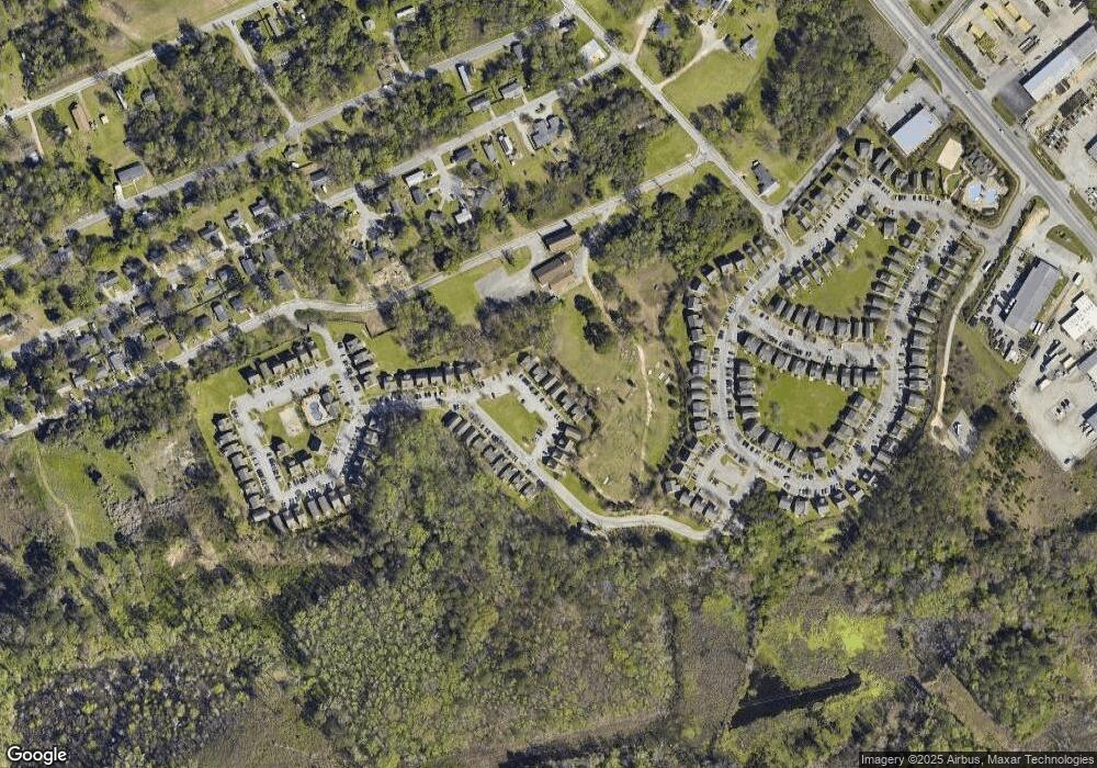
Map
Nearby Homes
- 1929 Bluff Rd Unit 148
- 1929 Bluff Rd Unit 193
- 1929 Bluff Rd Unit UNT96
- 1929 Bluff Rd Unit UNT26
- 1929 Bluff Rd Unit 162
- 1929 Bluff Rd Unit 67
- 1929 Bluff Rd Unit UNT44
- 1929 Bluff Rd Unit UNT25
- 0 Bluff Rd Unit 25851134
- 1115 Bluff Industrial Blvd
- 1213 Walcott St
- 1218 Walcott St
- 1215 Bluff Rd
- 1200 Bluff Rd Unit 14
- 1064 Key Rd
- 1085 Shop Rd Unit 145
- 1085 Shop Rd Unit 419
- 1085 Shop Rd Unit 425
- 1085 Shop Rd Unit 414
- 1522 Hibiscus St
- 1929 Bluff Rd Unit 164
- 1929 Bluff Rd Unit 189
- 1929 Bluff Rd Unit cottage 17
- 1929 Bluff Rd Unit cottage 2
- 1929 Bluff Rd Unit cottage 1
- 1929 Bluff Rd Unit cottage 142
- 1929 Bluff Rd Unit Cottage 199
- 1929 Bluff Rd Unit cottage 97
- 1929 Bluff Rd Unit cottage 120
- 1929 Bluff Rd Unit cottage 58
- 1929 Bluff Rd Unit cottage 95
- 1929 Bluff Rd Unit cottage 108
- 1929 Bluff Rd Unit cottage 9
- 1929 Bluff Rd Unit cottage 86
- 1929 Bluff Rd Unit cottage 55
- 1929 Bluff Rd Unit cottage 107
- 1929 Bluff Rd Unit Cottage 194
- 1929 Bluff Rd Unit Cottage 164
- 1929 Bluff Rd Unit 186
- 1929 Bluff Rd