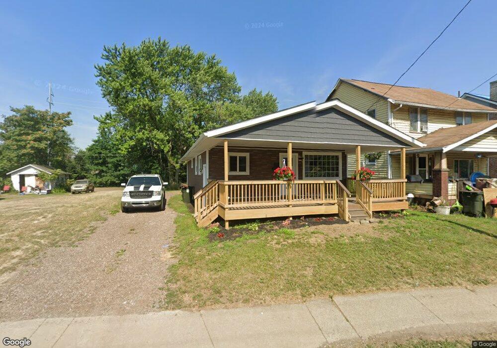
1929 Harrisburg Rd NE Canton, OH 44705
Fairmount NeighborhoodEstimated Value: $56,000 - $78,000
3
Beds
1
Bath
864
Sq Ft
$79/Sq Ft
Est. Value
About This Home
This home is located at 1929 Harrisburg Rd NE, Canton, OH 44705 and is currently estimated at $68,066, approximately $78 per square foot. 1929 Harrisburg Rd NE is a home located in Stark County with nearby schools including Belle Stone Elementary School, Early Learning Center @ Schreiber, and Youtz Intermediate School.
Ownership History
Date
Name
Owned For
Owner Type
Purchase Details
Closed on
Jan 16, 2024
Sold by
Csi Red Fox Den Properties Llc
Bought by
Barrera Jason Alfonzo Diaz
Current Estimated Value
Purchase Details
Closed on
Apr 19, 2023
Sold by
Unknown
Bought by
Red Fox Den Properties Llc
Purchase Details
Closed on
Aug 22, 2017
Sold by
Rathbun Paul C and Rathbun Betty J
Bought by
Pendleton Gary M
Create a Home Valuation Report for This Property
The Home Valuation Report is an in-depth analysis detailing your home's value as well as a comparison with similar homes in the area
Home Values in the Area
Average Home Value in this Area
Purchase History
| Date | Buyer | Sale Price | Title Company |
|---|---|---|---|
| Barrera Jason Alfonzo Diaz | $52,500 | None Listed On Document | |
| Red Fox Den Properties Llc | -- | None Listed On Document | |
| Pendleton Gary M | $4,500 | None Available |
Source: Public Records
Tax History Compared to Growth
Tax History
| Year | Tax Paid | Tax Assessment Tax Assessment Total Assessment is a certain percentage of the fair market value that is determined by local assessors to be the total taxable value of land and additions on the property. | Land | Improvement |
|---|---|---|---|---|
| 2025 | -- | $22,440 | $4,800 | $17,640 |
| 2024 | $307 | $9,490 | $4,800 | $4,690 |
| 2023 | $587 | $9,140 | $3,540 | $5,600 |
| 2022 | $547 | $9,140 | $3,540 | $5,600 |
| 2021 | $547 | $9,140 | $3,540 | $5,600 |
| 2020 | $518 | $7,670 | $2,980 | $4,690 |
| 2019 | $448 | $7,670 | $2,980 | $4,690 |
| 2018 | $457 | $7,670 | $2,980 | $4,690 |
| 2017 | $491 | $7,710 | $3,190 | $4,520 |
| 2016 | $819 | $12,880 | $3,570 | $9,310 |
| 2015 | $824 | $12,880 | $3,570 | $9,310 |
| 2014 | $825 | $12,110 | $3,360 | $8,750 |
| 2013 | $398 | $12,110 | $3,360 | $8,750 |
Source: Public Records
Map
Nearby Homes
- 2005 17th St NE
- 0 Dover Ave NE
- 2100 Maple Ave NE
- 2322 21st St NE
- 2211 17th St NE
- 2216 17th St NE
- 1742 Taft Ave NE
- 2310 Maple Ave NE
- 1607 20th St NE
- 2315 Maple Ave NE
- 1607 18th St NE
- 1602 18th St NE
- 1815 Virginia Place NE
- 2102 16th St NE
- 2028 Saint Elmo Ave NE
- 1630 Bonnot Place NE
- 1513 22nd St NE
- 1636 Superior Ave NE
- 2510 Gross Ave NE
- 1643 Olive Place NE
- 1931 Harrisburg Rd NE
- 1927 Harrisburg Rd NE
- 1933 Harrisburg Rd NE
- 1923 Harrisburg Rd NE
- 1930 Harrisburg Rd NE
- 1934 Harrisburg Rd NE
- 2006 Harrisburg Rd NE
- 1906 Harrisburg Rd NE
- 2010 Harrisburg Rd NE
- 2015 20th St NE
- 1925 Ohio Ave NE
- 1933 Ohio Ave NE
- 1901 Harrisburg Rd NE
- 2017 20th St NE
- 1907 Ohio Ave NE
- 2019 19th St NE
- 1909 Ohio Ave NE
- 2020 Harrisburg Rd NE
- 2021 20th St NE
- 0 Ohio Ave NE