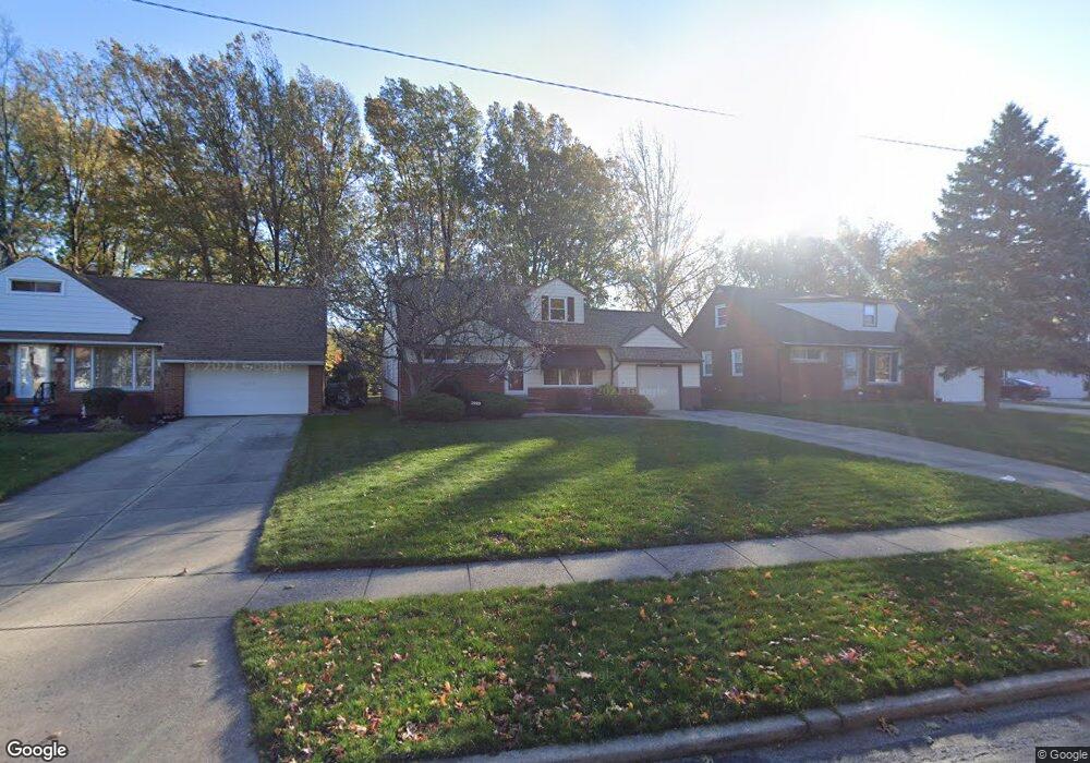
1929 Kapel Dr Euclid, OH 44117
Estimated Value: $127,953 - $180,000
2
Beds
2
Baths
928
Sq Ft
$162/Sq Ft
Est. Value
About This Home
This home is located at 1929 Kapel Dr, Euclid, OH 44117 and is currently estimated at $150,488, approximately $162 per square foot. 1929 Kapel Dr is a home located in Cuyahoga County with nearby schools including Thomas Jefferson Elementary School, Euclid Middle School, and Euclid High School.
Ownership History
Date
Name
Owned For
Owner Type
Purchase Details
Closed on
Jun 11, 2002
Sold by
Brickman Marian V
Bought by
Brickman James
Current Estimated Value
Purchase Details
Closed on
Feb 24, 1989
Sold by
Brickman John J
Bought by
Brickman Frank G
Purchase Details
Closed on
Aug 20, 1986
Sold by
Brickman Joseph and Brickman Kathleen M
Bought by
Brickman John J
Purchase Details
Closed on
Jul 22, 1982
Sold by
Brickman Joseph M
Bought by
Brickman Joseph and Brickman Kathleen M
Purchase Details
Closed on
Aug 20, 1980
Sold by
Curley Francis Michael
Bought by
Brickman Joseph M
Purchase Details
Closed on
Aug 5, 1977
Sold by
Curley Frank M and Curley Doris A
Bought by
Frank M Curley
Purchase Details
Closed on
Jan 1, 1975
Bought by
Curley Frank M and Curley Doris A
Create a Home Valuation Report for This Property
The Home Valuation Report is an in-depth analysis detailing your home's value as well as a comparison with similar homes in the area
Home Values in the Area
Average Home Value in this Area
Purchase History
| Date | Buyer | Sale Price | Title Company |
|---|---|---|---|
| Brickman James | -- | -- | |
| Brickman Frank G | $71,000 | -- | |
| Brickman John J | $70,000 | -- | |
| Brickman Joseph | -- | -- | |
| Brickman Joseph M | $54,500 | -- | |
| Curley Francis Michael | -- | -- | |
| Curley Francis Martineau | -- | -- | |
| Frank M Curley | -- | -- | |
| Curley Frank M | -- | -- |
Source: Public Records
Tax History
| Year | Tax Paid | Tax Assessment Tax Assessment Total Assessment is a certain percentage of the fair market value that is determined by local assessors to be the total taxable value of land and additions on the property. | Land | Improvement |
|---|---|---|---|---|
| 2025 | $2,625 | $50,085 | $12,250 | $37,835 |
| 2024 | $2,808 | $50,085 | $12,250 | $37,835 |
| 2023 | $2,632 | $39,280 | $9,560 | $29,720 |
| 2022 | $2,606 | $39,270 | $9,560 | $29,720 |
| 2021 | $2,898 | $39,270 | $9,560 | $29,720 |
| 2020 | $2,630 | $33,850 | $8,230 | $25,620 |
| 2019 | $2,365 | $96,700 | $23,500 | $73,200 |
| 2018 | $1,193 | $33,850 | $8,230 | $25,620 |
| 2017 | $2,366 | $29,480 | $6,620 | $22,860 |
| 2016 | $3,307 | $29,480 | $6,620 | $22,860 |
| 2015 | $3,009 | $29,480 | $6,620 | $22,860 |
| 2014 | $3,009 | $29,480 | $6,620 | $22,860 |
Source: Public Records
Map
Nearby Homes
- 1934 Beverly Hills Dr
- 25550 Glenbrook Blvd
- 1979 Idlehurst Dr
- 25641 Glenbrook Blvd
- 1807 Skyline Dr
- 1790 Skyline Dr
- 25031 Glenbrook Blvd
- 289 Richmond Rd
- 24691 Hawthorne Dr
- 145 Richmond Rd
- 24991 Euclid Ave
- 24105 Chardon Rd
- 25161 Euclid Ave
- 1775 Sherwood Blvd
- S/L 1 White Rd
- 1765 E 238th St
- 127 Brush Rd
- 1552 E 254th St
- 23501 Effingham Blvd
- 1754 E 236th St
- 1933 Kapel Dr
- 1923 Kapel Dr
- 1919 Kapel Dr
- 1979 Brookdale Rd
- 1958 Sunset Dr
- 1950 Sunset Dr
- 1913 Kapel Dr
- 1966 Sunset Dr
- 1942 Sunset Dr
- 1983 Brookdale Rd
- 1924 Kapel Dr
- 1907 Kapel Dr
- 1920 Kapel Dr
- 1930 Kapel Dr
- 1934 Kapel Dr
- 1914 Kapel Dr
- 1974 Sunset Dr
- 1975 Brookdale Rd
- 1934 Sunset Dr
- 1974 Brookdale Rd
Your Personal Tour Guide
Ask me questions while you tour the home.