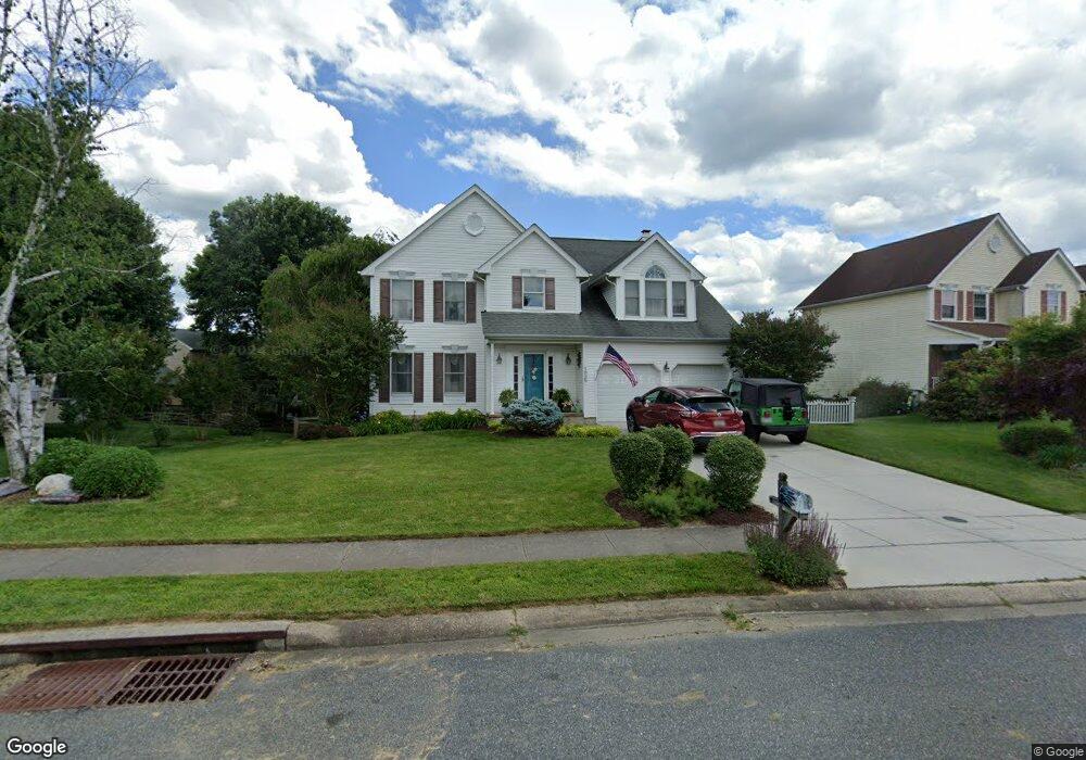
1929 Munsey Dr Forest Hill, MD 21050
Estimated Value: $519,935 - $644,000
Studio
3
Baths
2,394
Sq Ft
$248/Sq Ft
Est. Value
About This Home
This home is located at 1929 Munsey Dr, Forest Hill, MD 21050 and is currently estimated at $594,484, approximately $248 per square foot. 1929 Munsey Dr is a home located in Harford County with nearby schools including Forest Lakes Elementary School, Bel Air Middle School, and Bel Air High School.
Ownership History
Date
Name
Owned For
Owner Type
Purchase Details
Closed on
Mar 18, 2002
Sold by
Cline Richard A
Bought by
Woods Victor Jason and Woods Kristin T
Current Estimated Value
Purchase Details
Closed on
Aug 10, 1990
Sold by
Matson Homes Inc
Bought by
Cline Richard A
Home Financials for this Owner
Home Financials are based on the most recent Mortgage that was taken out on this home.
Original Mortgage
$86,000
Interest Rate
10.08%
Purchase Details
Closed on
Oct 28, 1988
Sold by
Osborne Winton B
Bought by
Matson Homes Inc
Home Financials for this Owner
Home Financials are based on the most recent Mortgage that was taken out on this home.
Original Mortgage
$201,600
Interest Rate
10.22%
Create a Home Valuation Report for This Property
The Home Valuation Report is an in-depth analysis detailing your home's value as well as a comparison with similar homes in the area
Home Values in the Area
Average Home Value in this Area
Purchase History
| Date | Buyer | Sale Price | Title Company |
|---|---|---|---|
| Woods Victor Jason | $255,000 | -- | |
| Cline Richard A | $164,900 | -- | |
| Matson Homes Inc | $36,000 | -- |
Source: Public Records
Mortgage History
| Date | Status | Borrower | Loan Amount |
|---|---|---|---|
| Previous Owner | Cline Richard A | $86,000 | |
| Previous Owner | Matson Homes Inc | $201,600 | |
| Closed | Woods Victor Jason | -- |
Source: Public Records
Tax History
| Year | Tax Paid | Tax Assessment Tax Assessment Total Assessment is a certain percentage of the fair market value that is determined by local assessors to be the total taxable value of land and additions on the property. | Land | Improvement |
|---|---|---|---|---|
| 2025 | $4,397 | $418,600 | $116,400 | $302,200 |
| 2024 | $4,397 | $403,467 | $0 | $0 |
| 2023 | $4,232 | $388,333 | $0 | $0 |
| 2022 | $4,068 | $373,200 | $116,400 | $256,800 |
| 2021 | $4,237 | $370,200 | $0 | $0 |
| 2020 | $4,237 | $367,200 | $0 | $0 |
| 2019 | $4,203 | $364,200 | $119,400 | $244,800 |
| 2018 | $4,035 | $352,867 | $0 | $0 |
| 2017 | $3,906 | $364,200 | $0 | $0 |
| 2016 | -- | $330,200 | $0 | $0 |
| 2015 | $3,843 | $330,100 | $0 | $0 |
| 2014 | $3,843 | $330,000 | $0 | $0 |
Source: Public Records
Map
Nearby Homes
- 1923 Munsey Dr
- 933 Delray Dr
- 915 Delray Dr
- 2027 Brandy Dr
- 217 Woodbine Ct
- 434 Dellcrest Dr
- 111 Sunshine Ct Unit F
- 109 Sunshine Ct Unit A
- 105 Sunshine Ct Unit G
- 1717 Landmark Dr Unit 1J
- 1712 Landmark Dr Unit E
- 1721 Chrisemmett Ct Unit 3A
- 1710 Landmark Dr Unit 1L
- 1605 Samantha Dr
- 1700 Rich Way Unit B
- 206 Kimary Ct Unit 2D
- 202 Kimary Ct Unit 1A
- 109 Spencer Cir
- 205 Kimary Ct Unit C
- 205 Kimary Ct Unit B
Your Personal Tour Guide
Ask me questions while you tour the home.