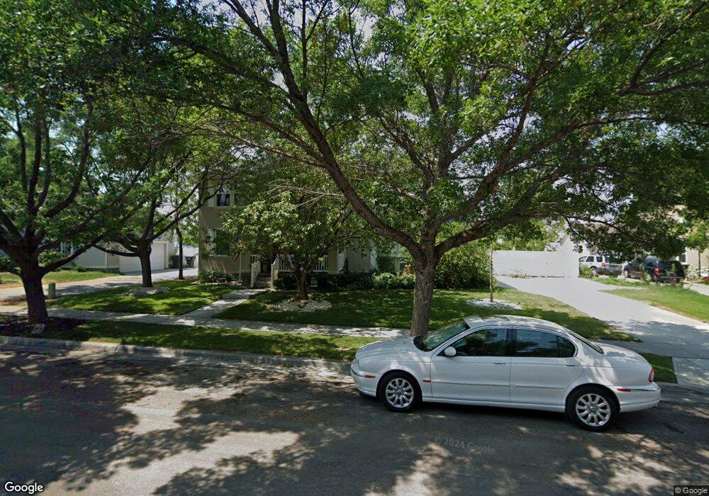
1929 N 370 W Tooele, UT 84074
Estimated Value: $437,574 - $495,000
--
Bed
--
Bath
2,416
Sq Ft
$190/Sq Ft
Est. Value
About This Home
This home is located at 1929 N 370 W, Tooele, UT 84074 and is currently estimated at $459,394, approximately $190 per square foot. 1929 N 370 W is a home located in Tooele County with nearby schools including Overlake Elementary School, Clarke N. Johnsen Junior High School, and Stansbury High School.
Ownership History
Date
Name
Owned For
Owner Type
Purchase Details
Closed on
Jul 22, 2013
Sold by
Sorenson Linda L and Sorenson Monika
Bought by
Sorenson Linda L and The Linda L Sorenson Living Trust
Current Estimated Value
Purchase Details
Closed on
May 2, 2011
Sold by
Sorenson Linda L
Bought by
Sorenson Linda L and Sorenson Monika
Purchase Details
Closed on
Apr 28, 2011
Sold by
Soverson Monika
Bought by
Soverson Linda L
Create a Home Valuation Report for This Property
The Home Valuation Report is an in-depth analysis detailing your home's value as well as a comparison with similar homes in the area
Home Values in the Area
Average Home Value in this Area
Purchase History
| Date | Buyer | Sale Price | Title Company |
|---|---|---|---|
| Sorenson Linda L | -- | None Available | |
| Sorenson Linda L | -- | None Available | |
| Soverson Linda L | -- | None Available |
Source: Public Records
Tax History Compared to Growth
Tax History
| Year | Tax Paid | Tax Assessment Tax Assessment Total Assessment is a certain percentage of the fair market value that is determined by local assessors to be the total taxable value of land and additions on the property. | Land | Improvement |
|---|---|---|---|---|
| 2025 | $652 | $248,793 | $61,875 | $186,918 |
| 2024 | $658 | $222,709 | $61,875 | $160,834 |
| 2023 | $658 | $253,135 | $58,915 | $194,220 |
| 2022 | $952 | $261,362 | $71,335 | $190,027 |
| 2021 | $974 | $188,027 | $23,856 | $164,171 |
| 2020 | $747 | $309,887 | $43,375 | $266,512 |
| 2019 | $630 | $285,659 | $43,375 | $242,284 |
| 2018 | $330 | $235,325 | $30,000 | $205,325 |
| 2017 | $72 | $216,659 | $30,000 | $186,659 |
| 2016 | $1,424 | $106,263 | $11,000 | $95,263 |
| 2015 | $1,424 | $100,985 | $0 | $0 |
| 2014 | -- | $100,985 | $0 | $0 |
Source: Public Records
Map
Nearby Homes
- 1913 N 370 W
- 437 W 1910 N Unit 317
- 452 W 1910 N Unit 314
- 463 W 1910 N Unit 320
- 1969 N 270 W
- 519 W 1960 N Unit 230
- Franklin Plan at Compass Point
- Ash Plan at Compass Point
- Chapman Plan at Compass Point
- Kennedy Plan at Compass Point
- McKinley Plan at Compass Point
- Hickory Plan at Compass Point
- Spruce Pantry Plan at Compass Point
- Holly Plan at Compass Point
- Basswood Plan at Compass Point
- Merriwood Plan at Compass Point
- Hancock Plan at Compass Point
- Harrison Plan at Compass Point
- Cedar Plan at Compass Point
- Monroe Plan at Compass Point