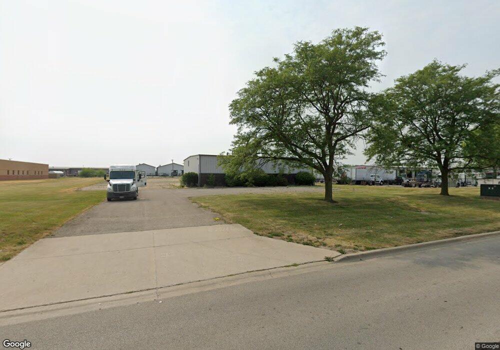
1929 N Morton Ave Morton, IL 61550
Estimated Value: $705,111
--
Bed
--
Bath
4,800
Sq Ft
$147/Sq Ft
Est. Value
About This Home
This home is located at 1929 N Morton Ave, Morton, IL 61550 and is currently estimated at $705,111, approximately $146 per square foot. 1929 N Morton Ave is a home located in Tazewell County with nearby schools including Morton High School, Blessed Sacrament School, and Bethel Lutheran School.
Ownership History
Date
Name
Owned For
Owner Type
Purchase Details
Closed on
Feb 23, 2024
Sold by
Foster Real Estate Llc
Bought by
Kingdom Assets Llc
Current Estimated Value
Home Financials for this Owner
Home Financials are based on the most recent Mortgage that was taken out on this home.
Original Mortgage
$625,000
Outstanding Balance
$608,232
Interest Rate
6.5%
Mortgage Type
Credit Line Revolving
Estimated Equity
$96,879
Create a Home Valuation Report for This Property
The Home Valuation Report is an in-depth analysis detailing your home's value as well as a comparison with similar homes in the area
Home Values in the Area
Average Home Value in this Area
Purchase History
| Date | Buyer | Sale Price | Title Company |
|---|---|---|---|
| Kingdom Assets Llc | $625,000 | Woodford County Title |
Source: Public Records
Mortgage History
| Date | Status | Borrower | Loan Amount |
|---|---|---|---|
| Open | Kingdom Assets Llc | $625,000 |
Source: Public Records
Tax History Compared to Growth
Tax History
| Year | Tax Paid | Tax Assessment Tax Assessment Total Assessment is a certain percentage of the fair market value that is determined by local assessors to be the total taxable value of land and additions on the property. | Land | Improvement |
|---|---|---|---|---|
| 2024 | $9,932 | $145,370 | $99,400 | $45,970 |
| 2023 | $9,932 | $135,430 | $92,600 | $42,830 |
| 2022 | $9,605 | $124,370 | $85,040 | $39,330 |
| 2021 | $9,239 | $119,590 | $81,770 | $37,820 |
| 2020 | $8,956 | $118,410 | $80,960 | $37,450 |
| 2019 | $8,932 | $118,410 | $80,960 | $37,450 |
| 2018 | $8,769 | $118,410 | $80,960 | $37,450 |
| 2017 | $8,542 | $117,240 | $80,160 | $37,080 |
| 2016 | $8,378 | $117,240 | $80,160 | $37,080 |
| 2015 | $8,088 | $0 | $0 | $0 |
| 2013 | $8,006 | $112,920 | $77,210 | $35,710 |
Source: Public Records
Map
Nearby Homes
- 26 Jasper Ct
- 12 Crystal Ct
- 614 Thornridge Dr
- 58 Waldheim Rd
- 43 Lynnwood Ct
- 121 Jay Ave
- 41 Forestview Rd
- 452 N Bauman Ave
- 501-503 Pierce St
- 512 N Main St
- 11 Hickory Ridge Dr
- 118 S Liberty Ave
- 505 E Tyler St
- 26 Linden Ct
- 754 Taylor St
- 45 Fox Creek Ct
- 116 E Sassafras Dr Unit 116Sas
- 110 White Oak Dr Unit 110Whi
- 328 N 3rd Ave
- 1224 Autumn Ridge Ct
- 1901 N Morton Ave
- 110 W Lakeland Rd
- 1989 N Morton Ave
- 101 Eastshore Dr
- 100 Eastshore Dr
- 101 Lakecrest Dr
- 105 Eastshore Dr
- 305 W Lakeland Rd
- 313 W Lakeland Rd
- 110 E Lakeland Rd
- 105 Lakecrest Dr
- 2 E Lakeland Rd
- 109 Eastshore Dr
- 105 W Lakeland Rd
- 317 W Lakeland Rd
- 108 Eastshore Dr
- 100 Ossami Lake Dr
- 1800 N Morton Ave
- 109 Lakecrest Dr
- 112 Ossami Lake Ct