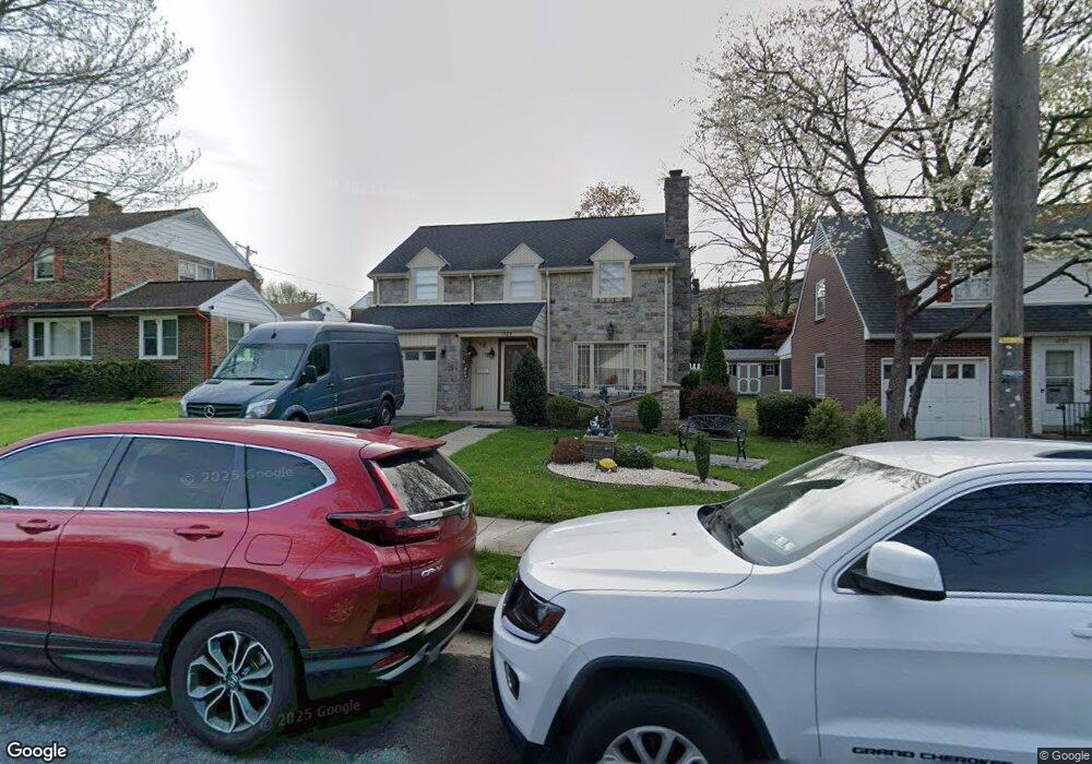
1929 Palm St Reading, PA 19604
College Heights NeighborhoodEstimated Value: $303,315 - $373,000
3
Beds
3
Baths
2,008
Sq Ft
$163/Sq Ft
Est. Value
About This Home
This home is located at 1929 Palm St, Reading, PA 19604 and is currently estimated at $326,829, approximately $162 per square foot. 1929 Palm St is a home located in Berks County with nearby schools including Thirteenth & Union Elementary School, Northeast Middle School, and Reading Senior High School.
Ownership History
Date
Name
Owned For
Owner Type
Purchase Details
Closed on
May 17, 2013
Sold by
Angeles Francisco A Reyes
Bought by
Angeles Francisco A Reyes and Angeles Magnolia E Reyes
Current Estimated Value
Home Financials for this Owner
Home Financials are based on the most recent Mortgage that was taken out on this home.
Original Mortgage
$113,000
Outstanding Balance
$23,568
Interest Rate
2.7%
Mortgage Type
New Conventional
Estimated Equity
$303,261
Purchase Details
Closed on
Aug 5, 2011
Sold by
Goldberg Pauline and Goldberg Jon
Bought by
Reyes Angeles Francisco A
Home Financials for this Owner
Home Financials are based on the most recent Mortgage that was taken out on this home.
Original Mortgage
$106,400
Interest Rate
4.38%
Mortgage Type
New Conventional
Create a Home Valuation Report for This Property
The Home Valuation Report is an in-depth analysis detailing your home's value as well as a comparison with similar homes in the area
Home Values in the Area
Average Home Value in this Area
Purchase History
| Date | Buyer | Sale Price | Title Company |
|---|---|---|---|
| Angeles Francisco A Reyes | -- | Mey Max Title Agency Of Ohio | |
| Reyes Angeles Francisco A | $133,000 | None Available |
Source: Public Records
Mortgage History
| Date | Status | Borrower | Loan Amount |
|---|---|---|---|
| Open | Angeles Francisco A Reyes | $113,000 | |
| Closed | Reyes Angeles Francisco A | $106,400 |
Source: Public Records
Tax History
| Year | Tax Paid | Tax Assessment Tax Assessment Total Assessment is a certain percentage of the fair market value that is determined by local assessors to be the total taxable value of land and additions on the property. | Land | Improvement |
|---|---|---|---|---|
| 2025 | $2,907 | $107,100 | $17,000 | $90,100 |
| 2024 | $4,756 | $107,100 | $17,000 | $90,100 |
| 2023 | $4,682 | $107,100 | $17,000 | $90,100 |
| 2022 | $4,682 | $107,100 | $17,000 | $90,100 |
| 2021 | $4,682 | $107,100 | $17,000 | $90,100 |
| 2020 | $4,635 | $107,100 | $17,000 | $90,100 |
| 2019 | $1,484 | $107,100 | $17,000 | $90,100 |
| 2018 | $4,635 | $107,100 | $17,000 | $90,100 |
| 2017 | $4,604 | $107,100 | $17,000 | $90,100 |
| 2016 | $2,630 | $107,100 | $17,000 | $90,100 |
| 2015 | $2,630 | $107,100 | $17,000 | $90,100 |
| 2014 | $2,420 | $107,100 | $17,000 | $90,100 |
Source: Public Records
Map
Nearby Homes
- 0 Rockland St Unit PABK2041018
- 1722 Olive St
- 1711 Alsace Rd
- 1421 Palm St
- 1500 N 12th St
- 1624 N 10th St
- 1649 N 9th St
- 1361 Locust St
- 2024 Kutztown Rd
- 2309 Hampden Blvd
- 1231 Perry St
- 1347 Mulberry St
- 1343 Mulberry St
- 1209 Linden St
- 1357 N 10th St
- 1200 Hampden Blvd
- 910 Pike St
- 1302 N 10th St
- 2260 Northmont Blvd
- 1139 Mulberry St
Your Personal Tour Guide
Ask me questions while you tour the home.