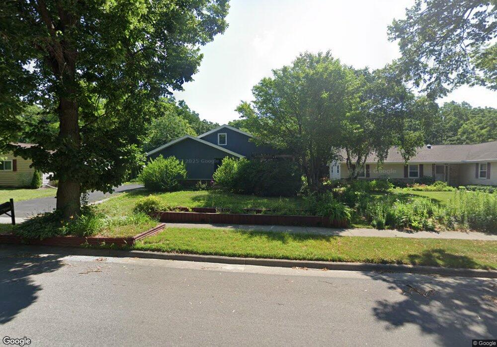
1929 Paso Roble Way Madison, WI 53716
East Buckeye NeighborhoodEstimated Value: $425,000 - $475,000
3
Beds
3
Baths
1,716
Sq Ft
$262/Sq Ft
Est. Value
About This Home
This home is located at 1929 Paso Roble Way, Madison, WI 53716 and is currently estimated at $449,415, approximately $261 per square foot. 1929 Paso Roble Way is a home located in Dane County with nearby schools including Sennett Middle School, La Follette High School, and Nuestro Mundo.
Ownership History
Date
Name
Owned For
Owner Type
Purchase Details
Closed on
Mar 21, 2011
Sold by
Osborn Curtis J and Estate Of Mary H Osborn
Bought by
Osborn Curtis J and Thor Sai
Current Estimated Value
Home Financials for this Owner
Home Financials are based on the most recent Mortgage that was taken out on this home.
Original Mortgage
$134,835
Interest Rate
5.25%
Mortgage Type
FHA
Create a Home Valuation Report for This Property
The Home Valuation Report is an in-depth analysis detailing your home's value as well as a comparison with similar homes in the area
Home Values in the Area
Average Home Value in this Area
Purchase History
| Date | Buyer | Sale Price | Title Company |
|---|---|---|---|
| Osborn Curtis J | -- | None Available |
Source: Public Records
Mortgage History
| Date | Status | Borrower | Loan Amount |
|---|---|---|---|
| Closed | Osborn Curtis J | $134,835 |
Source: Public Records
Tax History
| Year | Tax Paid | Tax Assessment Tax Assessment Total Assessment is a certain percentage of the fair market value that is determined by local assessors to be the total taxable value of land and additions on the property. | Land | Improvement |
|---|---|---|---|---|
| 2024 | $13,503 | $401,300 | $80,700 | $320,600 |
| 2023 | $6,698 | $389,200 | $78,300 | $310,900 |
| 2022 | $12,301 | $328,700 | $66,100 | $262,600 |
| 2021 | $5,809 | $288,300 | $60,100 | $228,200 |
| 2020 | $5,562 | $259,700 | $54,100 | $205,600 |
| 2019 | $5,389 | $252,100 | $52,500 | $199,600 |
| 2018 | $4,849 | $227,100 | $52,500 | $174,600 |
| 2017 | $4,927 | $220,500 | $47,700 | $172,800 |
| 2016 | $4,804 | $210,000 | $45,400 | $164,600 |
| 2015 | $4,638 | $194,200 | $45,400 | $148,800 |
| 2014 | $4,496 | $194,200 | $45,400 | $148,800 |
| 2013 | $4,731 | $194,200 | $45,400 | $148,800 |
Source: Public Records
Map
Nearby Homes
- 5525 Forge Dr
- 1606 Ellen Ave
- 10 Kings Mill Cir Unit 304
- 1907-1909 Dondee Rd
- 4706 Starker Ave
- 1314 Manassas Trail
- 4521 Deerwood Dr
- 1002 Ellen Ave
- 1306 Acewood Blvd
- 1133 Bonnie Ln
- 3602 Agriculture Dr
- 718 Orion Trail
- 1002 Severson Dr
- 4713 Camden Rd
- 617 Orion Trail
- 6430 Maywick Dr Unit 6430
- 4615 Maher Ave
- 1100 Pflaum Rd
- 209 E Lakeview Ave
- 4721 Femrite Dr
- 1925 Paso Roble Way
- 1933 Paso Roble Way
- 1921 Paso Roble Way
- 1937 Paso Roble Way
- 1930 Paso Roble Way
- 1934 Paso Roble Way
- 1926 Paso Roble Way
- 1917 Paso Roble Way
- 1941 Paso Roble Way
- 1938 Paso Roble Way
- 1922 Paso Roble Way
- 5509 E Buckeye Rd
- 1918 Paso Roble Way
- 1913 Paso Roble Way
- 1925 La Sierra Way
- 1945 Paso Roble Way
- 1929 La Sierra Way
- 1945 La Sierra Way
- 1921 La Sierra Way
- 1937 La Sierra Way
Your Personal Tour Guide
Ask me questions while you tour the home.