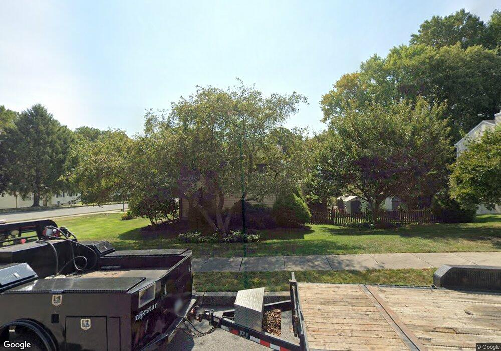
1929 Stirrup Ct Upper Chichester, PA 19061
Estimated Value: $376,000 - $495,000
3
Beds
3
Baths
1,585
Sq Ft
$275/Sq Ft
Est. Value
About This Home
This home is located at 1929 Stirrup Ct, Upper Chichester, PA 19061 and is currently estimated at $436,338, approximately $275 per square foot. 1929 Stirrup Ct is a home located in Delaware County with nearby schools including Chichester Senior High School and Concord Christian Academy.
Ownership History
Date
Name
Owned For
Owner Type
Purchase Details
Closed on
Jun 20, 2006
Sold by
Mandl Karl N and Mandl Vicki L
Bought by
Macgregor April
Current Estimated Value
Home Financials for this Owner
Home Financials are based on the most recent Mortgage that was taken out on this home.
Original Mortgage
$56,000
Interest Rate
6.27%
Mortgage Type
Stand Alone Second
Create a Home Valuation Report for This Property
The Home Valuation Report is an in-depth analysis detailing your home's value as well as a comparison with similar homes in the area
Home Values in the Area
Average Home Value in this Area
Purchase History
| Date | Buyer | Sale Price | Title Company |
|---|---|---|---|
| Macgregor April | $280,000 | None Available |
Source: Public Records
Mortgage History
| Date | Status | Borrower | Loan Amount |
|---|---|---|---|
| Closed | Macgregor April | $56,000 | |
| Open | Macgregor April | $224,000 |
Source: Public Records
Tax History Compared to Growth
Tax History
| Year | Tax Paid | Tax Assessment Tax Assessment Total Assessment is a certain percentage of the fair market value that is determined by local assessors to be the total taxable value of land and additions on the property. | Land | Improvement |
|---|---|---|---|---|
| 2025 | $7,317 | $220,220 | $82,270 | $137,950 |
| 2024 | $7,317 | $220,220 | $82,270 | $137,950 |
| 2023 | $7,082 | $220,220 | $82,270 | $137,950 |
| 2022 | $6,909 | $220,220 | $82,270 | $137,950 |
| 2021 | $10,303 | $220,220 | $82,270 | $137,950 |
| 2020 | $6,406 | $127,050 | $37,180 | $89,870 |
| 2019 | $6,406 | $127,050 | $37,180 | $89,870 |
| 2018 | $6,423 | $127,050 | $0 | $0 |
| 2017 | $6,373 | $127,050 | $0 | $0 |
| 2016 | $697 | $127,050 | $0 | $0 |
| 2015 | $697 | $127,050 | $0 | $0 |
| 2014 | $697 | $127,050 | $0 | $0 |
Source: Public Records
Map
Nearby Homes
- 4001 Fox Mill Dr
- 9 Corbett Dr
- 5000 Village Way Unit 5102
- 6000 Village Way Unit 6304
- 7000 Village Way Unit 207
- 4012 Greenwood Ave
- 1809 Galey St
- 1707 Peach St
- 2606 9th Ave
- 34 Dresner Cir
- 71 Dresner Cir
- 2648 Ogden Ave
- 0 Chichester Ave Unit PADE2097334
- 1704 Meetinghouse Rd
- 1120 Randall Ave
- 1022 & 1024 Kingsman Rd
- 1042 Randall Ave
- 1332 Peach St
- 957 Kingsman Rd
- 3708 Sophia Ln
- 1931 Stirrup Ct
- 1927 Bergdoll Ave
- 1933 Stirrup Ct
- 1925 Bergdoll Ave
- 1950 Bergdoll Ave
- 1948 Bergdoll Ave
- 1952 Bergdoll Ave
- 1956 Stirrup Ct
- 1958 Stirrup Ct
- 1923 Bergdoll Ave
- 1935 Stirrup Ct
- 1946 Bergdoll Ave
- 1942 Bergdoll Ave
- 1960 Stirrup Ct
- 1954 Bergdoll Ave
- 1921 Bergdoll Ave
- 1962 Stirrup Ct
- 1937 Stirrup Ct
- 1938 Bergdoll Ave
- 1944 Bergdoll Ave